Woodbridge, Connecticut
Looking for the best photography in Woodbridge? We've got you covered with the top trails, trips, hiking, backpacking, camping and more around Woodbridge. The detailed guides, photos, and reviews are all submitted by the Outbound community.
Top Photography Spots in and near Woodbridge
-
Cold Spring, New York
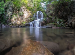
Photograph Indian Brook Falls
2.8This is about as short a walk and as little effort as you can put in for a beautiful waterfall. You can barely call it a hike, but I'll list it as such since you do walk through the woods for 5 minutes. The trail is extremely well built, and is pretty easily accessible through the winter.The trai...Read more -
Beacon, New York
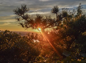
Hike Fishkill Ridge
Fishkill Ridge is a strenuous but rewarding hike, and one of the less known areas in the Hudson Valley. The parking area is at the very end of Sunnyside Road in Beacon, along with the information board at the trailhead. The red trail leaves the lot and will take you up to the first peak on the ri...Read more -
Norfolk, Connecticut
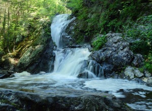
Hike to Campbell Falls
4.01.4 mi / 187 ft gainCampbell Falls, one of the most beautiful parks in CT. Don't let the size of the park fool you, that's what adds to the beauty. With it's strong pine and fresh flower scented woods you slowly forget that you're even in Connecticut. The trails aren't labeled the greatest but still can be made out....Read more -
Groton, Connecticut
Visit Avery Point Lighthouse
3.0Owned by the University of Connecticut this lighthouse is a short walk from the parking area. Though the grounds are open the tower is not. Avery Point offers panoramic ocean views. From this location you can also see New London Harbor Lighthouse & New London Ledge Light. You can also see t...Read more -
Cortlandt, New York
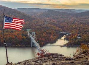
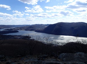
Hike the Camp Smith Trail
4.55.92 mi / 1759 ft gainThis approximately 3-hour hike borders the Hudson River, and is one of the best in Westchester County. Start off at the parking area at the Bear Mountain Tollhouse, or at a small parking area farther up Bear Mountain Road, if you want a slightly shorter hike. The trail is fairly steep in places, ...Read more -
Franklin, Connecticut
Hike Baileys Ravine at Ayer's Gap Preserve
1.6 mi / 314 ft gainIt's steep and rocky in the beginning but it levels out after a while! When standing in the parking lot, the trailhead is hidden! Look to the right. The trail ends on Ayer's Road so you have to walk back a little ways on the road.Read more -
Stanfordville, New York
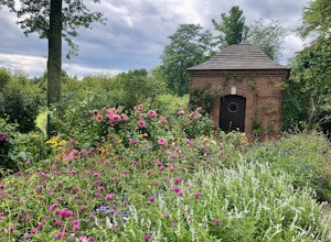
Explore Wethersfield Estate & Gardens
The Wethersfield Estate is a beautiful estate and property located less than 2 hours north of New York City. The gardens are expansive and extremely beautiful, open to the public each day from noon to 5pm (COVID-19 hours). Additionally, there are trails for horseback rides, carriage rides, dog-wa...Read more -
Norwich, Connecticut
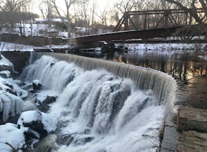
Explore Yantic Falls Historic District
0.3 mi / 26 ft gainThe Yantic Falls Historic District encompasses a historic mill and associated worker housing on Yantic Street in Norwich, Connecticut. The 10 acre area includes a complex of mill buildings arrayed along the Yantic River, and a group of three brick mill worker houses. Today, Yantic Falls is part d...Read more -
Cold Spring, New York
Hike the Washburn/Nelsonville/Undercliff Loop
7.2 mi / 2000 ft gainThis is a difficult loop hike that has several different starting points. I chose to start at the Washburn Trail Head, which is the lowest starting point you can select. Nearly on the Hudson River, the trail ascends immediately along a well maintained road designated by white disc markers. Aft...Read more -
Cold Spring, New York
Hike the Cornish/Brook/Notch/Washburn/Undercliff Loop
8 mi / 1500 ft gainThis loop is a great option to avoid crowds on the west side of the Washburn trail. Start at the same trailhead for the Washburn Trail. The Cornish Trail is on the left and there is an obvious sign at the trail split a few feet from the parking area. The Cornish Trail is an old road from about...Read more

