Sprague, Connecticut
Looking for the best chillin in Sprague? We've got you covered with the top trails, trips, hiking, backpacking, camping and more around Sprague. The detailed guides, photos, and reviews are all submitted by the Outbound community.
Top Chillin Spots in and near Sprague
-
Meriden, Connecticut
Hike the Metacomet, Blue, and Yellow Loop
5.04.5 mi / 976 ft gainStart from the Castle Craig road entrance. Walk until you're greeted by a beautiful reservoir. You'll notice the strange but beautiful Mine Island in the middle of all this. You'll also notice markers for White Trails and Yellow Trails. The White Trail is an easier/wider trail. The Yellow Trail C...Read more -
Simsbury, Connecticut
Hike to the Heublein Tower on Talcott Mountain
4.32.54 mi / 404 ft gainThe Heublien Tower Trail, located just inside the Talcott Mountain State Park entrance off of Route 185 in Simsbury CT, is a short 1.25 miles. While the hike isn't long, the first 1/3 of a mile is a steep incline that will get your heart pumping. The trail itself it very well kept, and although ...Read more -
Montauk, New York
Stroll along the Montauk Point Lighthouse Cliff Walk
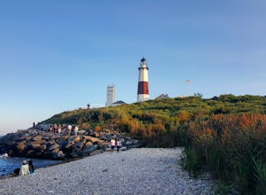
4.51 miThe Montauk Point Lighthouse is one of the main attractions of "The End" of Long Island, but I've only ever walked around it on the cliff walk.When you get to the lighthouse, you can park in the parking lot (depending on when you go there may be a $8 fee). Right along the edge overlooking the wa...Read more -
Newport, Rhode Island
Drive the Ocean Drive Historic District
5.010 miThis drive encompasses all that is Newport, RI. Known for its rocky shores and numerous sea-side mansions, this drive allows you to both view it all from the safety of your car, and has several spots to pull off to get out and get a better view. There are grassy park areas as well that are perf...Read more -
Shelter Island, New York
Hike through the Mashomack Nature Preserve
10 miJust a short ferry ride from the Hamptons, South Ferry Road is exactly where it sounds; very close to the South Ferry of Shelter Island. The parking lot of Mashomack Preserve is marked by a large sign. When you walk in, you'll see a large nature center. Sign in at a clipboard at the table out fro...Read more -
New Shoreham, Rhode Island
Explore Block Island
5.0Block Island, a small island off the coast of the Rhode Island mainland, is well-known as a local summer playland. Tourists typically go to the quaint New England island in the summer months for the biking, hiking, sailing, kayaking, fishing and 17 miles of beaches.Although you can bring a car o...Read more -
New Shoreham, Rhode Island
Explore Block Island on Mopeds
Block Island offers beautiful beaches, lighthouses, cliffs, and harbors - but what's the best way to see them all? Mopeds of course! We went through Island Moped & Bike but there are other options if you want to shop around. We chose them because they had a special rate for an afternoon/eveni...Read more -
Montauk, New York
Climb the Bluffs of Shadmoor State Park
1.2 mi / 100 ft gainI've never actually been into the Shadmoor State Park, but you can climb up and onto the bluffs from the beach easily; well kind of easily.Most of the parking lots along the beach require Hamptons residency tags, so you can't park right next to beach entrances... bummer. We typically park along ...Read more -
New Shoreham, Rhode Island
Explore the Mohegan Bluffs
If you make the ferry ride to Block Island the bluffs are a must-see. From the town where the ferry ports, it's about two miles to get there. If you don't travel with your car you can always walk there via the road, bike ride, or rent a moped! There is no fee to use the beach and it can be access...Read more -
New Shoreham, Rhode Island
Explore the South East Lighthouse
If you're visiting the Mohegan Bluffs, you should take the extra time to see the Lighthouse next to them. There's a beautiful overlook looking out onto the Atlantic and a bench to relax in the grassy hill. It's free to walk around the grounds and it's only about 2 miles from the town the ferry po...Read more -
Cheshire, Connecticut
Hike to Roaring Brook Falls
1.2 mi / 377 ft gainArriving to the falls, parking is residential but don't worry everyone is friendly. Starting off the hike you will walk past a cool pond where you may be able to see some wildlife. Continuing on, you will follow the marked trail where it will take you further into the woods while gaining elevatio...Read more -
Granby, Connecticut
Hiking Enders Falls
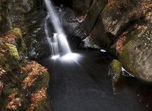
4.0Enders State Forest sprawls over approximately 2000 acres, and is found within the towns of Granby and Barkhamsted in Connecticut. Enders has a good sized parking lot directly on Route 219. From the junction of Route 219 and Route 20, visitors will proceed west on Route 219 for 1.2 miles and tu...Read more


