Shelton, Connecticut
Top Spots in and near Shelton
-
Hopewell Junction, New York
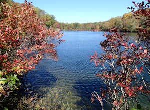
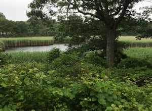
Beaver Pond via Appalachian Trail
5.03 mi / 400 ft gainBeaver Pond is a small body of water created by a dam that was constructed during the days of iron ore mining in the area. The pond is crystal clear and has a wonderful tree line right on the water. The best time to visit here is early morning in the fall. With the leaves changing color they m...Read more -
Rye, New York
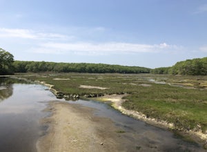
Hike the Marshlands Conservancy Loop
4.01.55 mi / 125 ft gainLocated along the Long Island Sound, this 147-acre conservancy is home to a plethora of different birds, including marsh wrens, seaside sparrows, and American woodcocks. The conservancy has 3 miles of trails, all easy to navigate. Starting out from the visitor's center, take the trail to the rig...Read more -
East Haddam, Connecticut
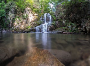
Explore Chapman Falls in Devil's Hopyard SP
4.0If you map to Chapman Falls in East Haddam, CT, you will be brought to a parking lot opposite from the waterfall in Devil's Hopyard, a beautiful Connecticut state park. Once there, it's only a few minute walk down a very clear trail to the base of the 60 foot falls. There's plenty of room to set ...Read more -
Cold Spring, New York
Hike the Perkins/Fahnestock/Charcoal Burners Trail Loop
7.5 mi / 800 ft gainThis is one of my favorite hikes in the Clarence Fahnestock State Park. A real mixed bag but mostly very enjoyable. The trail starts at the Charcoal Burners Trailhead Route 301. There is only road side parking on a soft shoulder, both sides of the road. After a short walk into the forest, you re...Read more -
Briarcliff Manor, New York
Hike Kate Kennard Trail
1.8 mi / 140 ft gainIf you’re in the town of Briarcliff and looking for an easy local trail to try out, Kate Kennard Trail is good for getting in a quick run or walk. It’s a straight line path the whole way. You’ll know you’ve reached the end of the path when you see a sign that marks the beginning of a road leading...Read more -
Manchester, Connecticut
Explore Wickham Park
5.0Wickham Park Is open the first weekend in April and closes the last weekend in October. Entrances fees are $5 Monday-Friday and $7 Saturday-Sunday. The park is known for its 250 acres of open fields, wildflowers, gardens, ponds and nature center. There is no where else can you go have a picnic w...Read more -
Glastonbury, Connecticut
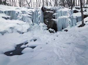
Blackledge Falls
4.01.46 mi / 207 ft gainAlthough the park contains hiking trails, a pond and a streambelt, the primary draw of this parcel of land is the 25 foot waterfall. The falls flow varies depending on the volume of precipitation, from a trickle in the dry months to a three-pronged vertical drop after some consistent snow melt or...Read more -
Patchogue, New York
Fire Island's Watch Hill
4.02 miIf departing from NYC, catch the early LIRR train from Penn Station (or Atlantic Terminal) towards Patchogue. You may have to transfer at both Jamaica & Babylon, but it's an easy hop across the platform. Trip will take approximately an hour and a half and cost around $15, Off Peak, each way. ...Read more -
Southampton, New York
Paddle Peconic Bay
4.0While there are many ways to access the Peconic Bay, I have found the best direction to explore is north west after launching and during the sunset. If you head to the public beach on Towd Point Rd. you can launch from there and make your way out toward Robins Island. Like most places the water i...Read more -
East Lyme, Connecticut
Hike Rocky Neck State Park Trail
5.02.5 mi / 141 ft gainRocky Neck State Park Trail is a 2.5 mile loop hike where you may see beautiful wild flowers located near East Lyme, Connecticut.Read more -
Shelter Island, New York
Hike through the Mashomack Nature Preserve
10 miJust a short ferry ride from the Hamptons, South Ferry Road is exactly where it sounds; very close to the South Ferry of Shelter Island. The parking lot of Mashomack Preserve is marked by a large sign. When you walk in, you'll see a large nature center. Sign in at a clipboard at the table out fro...Read more -
Cold Spring, New York
Photograph Indian Brook Falls
2.8This is about as short a walk and as little effort as you can put in for a beautiful waterfall. You can barely call it a hike, but I'll list it as such since you do walk through the woods for 5 minutes. The trail is extremely well built, and is pretty easily accessible through the winter.The trai...Read more -
Cortlandt, New York
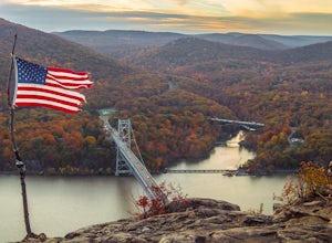
Hike the Camp Smith Trail
4.55.92 mi / 1759 ft gainThis approximately 3-hour hike borders the Hudson River, and is one of the best in Westchester County. Start off at the parking area at the Bear Mountain Tollhouse, or at a small parking area farther up Bear Mountain Road, if you want a slightly shorter hike. The trail is fairly steep in places, ...Read more -
Philipstown, New York
Hike the Osborn Loop
7.6 mi / 850 ft gainThe Osborn Loop trail itself is not a loop. It connects to a 2.5 mile section of the Appalachian Trail. Hiking these together creates the loop. Start at the trail head for the Appalachian Trail on South Mountain Pass Road. There is parking for two or three cars. Walk up the road a short dist...Read more -
Cold Spring, New York
Kayak the Hudson River in Cold Spring
North of New York City by 90 minutes lies the town of Cold Spring in the Hudson Valley. Cold Spring has a hometown quality with a Main Street, a firehouse, and art galleries of local artists. Despite its proximity to NYC, locals maintain a slower pace and enjoy many outdoor activities. Just a sho...Read more -
Beacon, New York
Hike Fishkill Ridge
Fishkill Ridge is a strenuous but rewarding hike, and one of the less known areas in the Hudson Valley. The parking area is at the very end of Sunnyside Road in Beacon, along with the information board at the trailhead. The red trail leaves the lot and will take you up to the first peak on the ri...Read more

