Guilford, Connecticut
Looking for the best photography in Guilford? We've got you covered with the top trails, trips, hiking, backpacking, camping and more around Guilford. The detailed guides, photos, and reviews are all submitted by the Outbound community.
Top Photography Spots in and near Guilford
-
Norwich, Connecticut
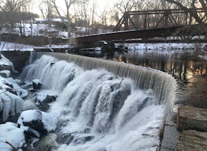
Explore Yantic Falls Historic District
0.3 mi / 26 ft gainThe Yantic Falls Historic District encompasses a historic mill and associated worker housing on Yantic Street in Norwich, Connecticut. The 10 acre area includes a complex of mill buildings arrayed along the Yantic River, and a group of three brick mill worker houses. Today, Yantic Falls is part d...Read more -
Litchfield, Connecticut
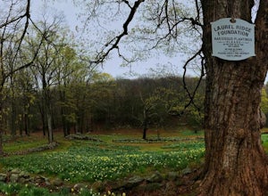
Photograph Daffodils at Laurel Ridge
Laurel Ridge is a private owned Farm , the owners are generous enough to let people visit these flowers so please be respectful of there rules. You may see the Daffodils from Sunrise-Sunset and usually fully bloomed Early April-May. Laurel Ridge is the perfect way to start Spring, the smell and ...Read more -
Franklin, Connecticut
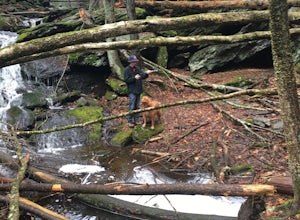
Hike Baileys Ravine at Ayer's Gap Preserve
1.6 mi / 314 ft gainIt's steep and rocky in the beginning but it levels out after a while! When standing in the parking lot, the trailhead is hidden! Look to the right. The trail ends on Ayer's Road so you have to walk back a little ways on the road.Read more -
Simsbury, Connecticut
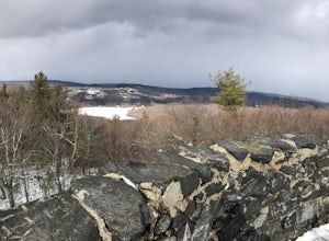
Hike to the Heublein Tower on Talcott Mountain
4.32.54 mi / 404 ft gainThe Heublien Tower Trail, located just inside the Talcott Mountain State Park entrance off of Route 185 in Simsbury CT, is a short 1.25 miles. While the hike isn't long, the first 1/3 of a mile is a steep incline that will get your heart pumping. The trail itself it very well kept, and although ...Read more -
Kings Park, New York
Kayaking the Nissequogue River
5.0Starting on the banks of Nissequogue River State Park, this 6 mile journey makes you feel like you’re cruising down river in the south, when you’re really on Long Island. I really suggest going as high tide is rolling in as there can be some shallow sections along this trip. Head out into the ope...Read more -
Washington, Connecticut
Hike the Mount Tom Tower Trail
1.3 mi / 337 ft gainStarting from the parking lot of Mt. Tom State Park, hop onto the Tower Trail (yellow trail) which leads more into the woods. During winter time, the trail may be slippery, please use your best judgement and always know your limits. Gaining about 300 feet in total elevation in approximately 1 mil...Read more -
Montauk, New York
Climb the Bluffs of Shadmoor State Park
1.2 mi / 100 ft gainI've never actually been into the Shadmoor State Park, but you can climb up and onto the bluffs from the beach easily; well kind of easily.Most of the parking lots along the beach require Hamptons residency tags, so you can't park right next to beach entrances... bummer. We typically park along ...Read more -
New Fairfield, Connecticut
Hike Squantz Pond Trail
2.2 mi / 321 ft gainThe hike is rated as moderate and is accessible all year round. While it’s accessible during all seasons, the sights of the leaves changing colors in the autumn makes it an exceptionally beautiful time to do this hike. You’ll definitely want to snap some photos along the way of the foliage reflec...Read more -
Chaplin, Connecticut
Hike to Diana's Pool
4.01.3 mi / 45 ft gainThe drive to Diana's Pool is worth it in an of itself, taking you through the backroads of Eastern Connecticut. To begin the hike just simply enter the woodland path and follow the trail. In order to go under the bridge just simply take the first left in the path and there will be a stream that f...Read more -
Patchogue, New York
Camp at Fire Island's Watch Hill
4.02 miIf departing from NYC, catch the early LIRR train from Penn Station (or Atlantic Terminal) towards Patchogue. You may have to transfer at both Jamaica & Babylon, but it's an easy hop across the platform. Trip will take approximately an hour and a half and cost around $15, Off Peak, each way. ...Read more -
Westerly, Rhode Island
Watch the Sunset over Misquamicut Beach
5.0Misquamicut is one of Rhode Island’s most popular beach locations during the day. As the evening approaches most beach goers pack up, tired from a day of playing in the waves and lounging on the beach’s beautiful sand. It’s during this time, when the crowds disperse and the day begins to turn to ...Read more -
Stamford, Connecticut
Hike Cove Island Park Loop Trail
5.01.1 mi / 3 ft gainThis trail is accessible year round and features water views of the Long Island Sound with beach access. The trail is a popular spot for walking, biking, fishing, and even bird watching. But if you’re not quite in the mood to get your steps in, you can use the small beach to sit and chat with a f...Read more -
Granby, Connecticut
Hiking Enders Falls
4.0Enders State Forest sprawls over approximately 2000 acres, and is found within the towns of Granby and Barkhamsted in Connecticut. Enders has a good sized parking lot directly on Route 219. From the junction of Route 219 and Route 20, visitors will proceed west on Route 219 for 1.2 miles and tu...Read more -
Pound Ridge, New York
Leatherman's Loop
1.25 mi / 1183 ft gainThis loop trail is moderately rated and reaches a total elevation gain of approximately 1,183 feet. It’s located in the Ward Pound Ridge Reservation, which spans roughly 4,315 acres. It is Westchester County’s largest park and includes roughly 35 plus miles of hiking trails to explore. The Ward...Read more

