Tabernash, Colorado
Top Spots in and near Tabernash
-
1046 County Highway 115, Colorado
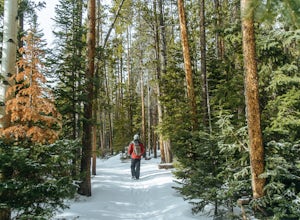
Winter Hike to Calypso Cascades
6.25 mi / 580 ft gainWhile most people go snowshoeing near the Bear Lake or Glacier Gorge area in RMNP, Wild Basin is a much less trafficked option. The entrance station isn't manned in the winter, so you'll get in for free, as well! You can put the Wild Basin Trailhead into your GPS, but you'll have to park at the w...Read more -
Grand Lake, Colorado
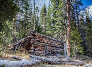
Hike to Big Meadows and Granite Falls
5.010.3 miThe Green Mountain Trail is part of the Continental Divide National Scenic Trail (CDT) which is a foot path from Mexico to Canada. Big Meadows is a great place to view elk, moose, and deer. Other animals you can see in the area are abert squirrels, river otters, weasels, and black bear.Big Meadow...Read more -
Boulder, Colorado
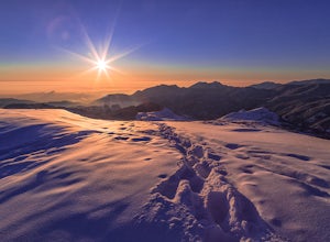
Catch the Sunrise on Sugarloaf
4.51 mi / 400 ft gainTo get there from downtown Boulder, head west on CO 119 and almost 4.5 miles after you have left Boulder, turn right onto Sugarloaf Road. 4 miles after the turn from CO 119, turn right onto Sugarloaf Mountain road (located at the top of the road). If the road starts descending, you've gone too fa...Read more -
Nederland, Colorado
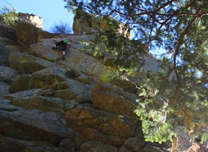
Climb the Avalon Crag in Boulder Canyon
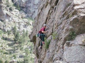
From Boulder, the pullout that is best to park at for the Avalon crag is 8.4 miles up the canyon. You will walk down the side of the road past the talus field, where if the river is too high to wade you can use the tyrolean traverse. Otherwise, you can wade or hop across rocks according to the da...Read more -
Allenspark, Colorado
Sandbeach Lake Trail
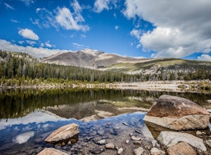
4.08.56 mi / 2057 ft gainSandbeach Lake is best known for (as you can probably guess) its wide sandy shore. At nearly 50 feet deep, it is one of Rocky Mountain National Parks deepest lakes. If you are looking to fish at the lake, make sure to bring barbless flies and lures. There are six official campsites (1.8 miles Hol...Read more -
Idaho Springs, Colorado
ATV Leavenworth Creek Road (Guanella Pass)
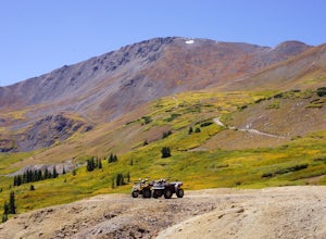
16.6 mi / 3655 ft gainSeptember is famous in Colorado for clear, deep blue skies,sublimely perfect temperatures, and gold-digging – of the leaf variety, thatis. On September 9, wildflower season was recently past and the best of theleaves were yet to come, but it was the perfect, clear and sunny day to checkout the hi...Read more -
Loveland Pass, Colorado
Photograph the Milky Way at Loveland Pass
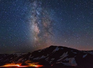
Loveland Pass is often very busy during the winter as people move through the pass to access the nearby ski areas and just as popular for tourists admiring the beauty of the continental divide in the summer. It is also the start of some great hiking trails like the Mount Sniktau Trail. However, ...Read more -
Dillon, Colorado
Hiking Mount Sniktau
5.04 miMount Sniktau is a great beginner 13er. This hike offers a fun ridge walk with amazing views! Make sure you come prepared, the wind can be pretty relentless. Parking is limited so make sure you arrive early.This hike will get your blood pumping from the moment you exit your vehicle. You will cli...Read more -
Dillon, Colorado
Hike Grizzly Peak at Loveland Pass
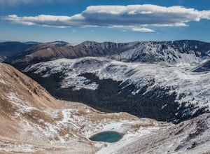
5.06 mi / 2900 ft gainWhile a typical Colorado hike may be an ascent to your destination followed by a descent back to your car, the hike to Grizzly Peak at Loveland Pass (Grizzly Peak "D") breaks that mold. At 13,427 feet, Grizzly Peak stands in the path to Torreys Peak’s west face (14,267’). Even though it is only ~...Read more -
Nederland, Colorado
Climb in Boulder Canyon
5.0Heading west from Boulder, take CO 119/Boulder Canyon Drive into Boulder Canyon. Once you're in the canyon, there are many areas that all have great climbing. For the more traditional climber, there are areas such as Castle Rock (39.9787, -105.4551) and the Happy Hour Crag (40.0033, -105.3939). P...Read more -
Ward, Colorado
Hike the Ceran St. Vrain Trail
5.04 mi / 1207 ft gainThe Ceran St. Vrain trail north of Jamestown offers the hiker a nice respite from the summer sun as this path runs through dense pine forests. The trail follows the South St. Vrain Creek for most of the way and follows moderate grades throughout. There is no official end to the trail, only that i...Read more -
Nederland, Colorado
Explore Boulder Falls, CO
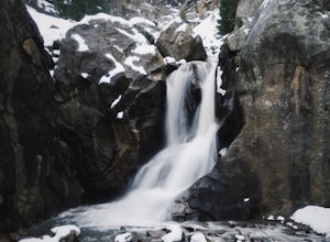
4.20.1 miWhile the narrow trail is often popular, it's only 100 yards to see this 70-ft tall waterfall, set against a beautiful canyon backdrop. Keep in mind there's no climbing allowed on or around the falls. It is also a good idea to check if the trail is closed for maintenance, ahead of time.Read more -
Silver Plume, Colorado
Grays and Torreys Peaks
4.37.97 mi / 3458 ft gainAt about an hour's drive from Denver, Grays Peak (14,270 ft./4338m) and its sister mountain, Torreys Peak (14,267 ft./4337m), are two of the most popular 14ers in the state. Because of this, a wealth of information is available on the internet. Rather than go into all the details of the technical...Read more -
Silver Plume, Colorado
Torrey's Peak via Kelso Ridge
5.05.79 mi / 2982 ft gainThe start of this route up the Kelso Ridge is the same as doing the standard route of Gray's and Torrey's peaks. From the trailhead cross the large metal bridge and continue on the great trail as it slowly climbs away from the parking lot and trailhead. This first section is not steep, but prov...Read more -
Silver Plume, Colorado
Grays Peak Trail
4.57.25 mi / 2995 ft gainThe first challenge you'll face on your way to the summit of Gray's peak is Steven's Gulch Road. My Corolla rolled up to the start of what I’ve seen described as a “4x4 road that should probably not be attempted in a low clearance vehicle”. But what the heck, it was late, and I didn't feel like w...Read more -
Idaho Springs, Colorado
Hike to Hell's Hole
4.5The name is uninviting, but Hell’s Hole is a scenic, shallow basin in the Mount Evans Wilderness near Idaho Springs. Starting elevation is about 9500 feet. Right after the trailhead, you pass through a few camping sites in the Chicago Creek Picnic Area. About five minutes into the hike is the per...Read more

