Summit County, Colorado
Looking for the best hiking in Summit County? We've got you covered with the top trails, trips, hiking, backpacking, camping and more around Summit County. The detailed guides, photos, and reviews are all submitted by the Outbound community.
Top Hiking Spots in and near Summit County
-
Breckenridge, Colorado
Hike Baker's Tank Loop
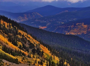
3.86 mi / 645 ft gainWhen the aspens are sporting their golden hues of autumn, Baker's Tank Loop is a perfect fall hike. The trailhead is about ten minutes from downtown Breckenridge. For part of the hike, you may have the world to yourself. But, for the road portion, you'll likely have to share with the leaf peep...Read more -
Silverthorne, Colorado
Backpack to Upper Slate Lake
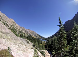
5.028 mi / 1386 ft gainStarting from the Rock Creek Trailhead parking lot, it is an up and down trek to Upper Slate Lake. The trail map states 10 miles each way, but accounting for switchbacks it ends up being closer to 14 long, hard miles.You will be among aspens and pines for the first half as you have a few moderate...Read more -
Dillon, Colorado
Off-Road to Glacier Mountain
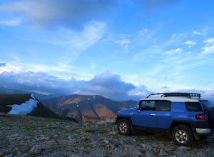
5.07.4 mi / 2100 ft gainThe trail begins just past historical Main Street Montezuma. You will see a sign on your right for St. Johns road. This road is officially marked as 275 on a map. The original road lead to St. Johns but not much of the town remains.You will cross the Snake River almost immediately after you turn ...Read more -
Breckenridge, Colorado
Day Hike to Lower & Upper Mohawk Lakes
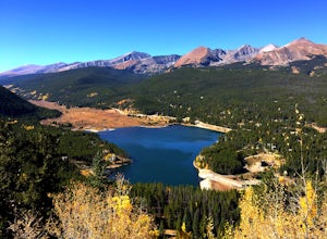
4.67 mi / 1800 ft gainI recently spent the weekend in Breckenridge, and not being from the area, there was one hike that was on my bucket list: Mohawk Lakes. It didn’t disappoint! In late September, the Breckenridge area is full of gorgeous golden aspen trees, providing spectacular long-range views. In summer, abundan...Read more -
Breckenridge, Colorado
Backpack & Fish The Mohawk Lakes
4.06.8 mi / 1940 ft gainThe trailhead is located a few miles out side of Breckenridge Colorado. The trail starts at 10,390' and the first two miles are spent walking through a mix of fir, aspen, and spruce trees until the trail goes parallel to Spruce Creek Road and eventually crosses it and continues over a small dam (...Read more -
Breckenridge, Colorado
Lower Crystal Lake via Crystal Creek Road
5.04.52 mi / 1624 ft gainTo get to the Crystal Lakes start at the Spruce Creek Trailhead. You can hike or drive to the Lower Crystal Lake along Crystal Creek Road. If you choose to drive, you will need a high clearance 4x4 vehicle as you follow along Crystal Creek Road. The road is steep, but when they get to the top it ...Read more -
Breckenridge, Colorado
Hike to & Stay at Francie's Cabin
5.01.09 mi / 1000 ft gainLocated at 11,360' and owned by the 10th Mountain Division Hut Association, Francies Cabin was built in memory of Frances Lockwood Bailey in 1994 and is located just a short distance (5 mile drive, 1.05 mile hike) from town of Breckenridge, Colorado. It has a summer and winter capacity of 20 peop...Read more -
Breckenridge, Colorado
Spruce Creek Loop
4.29 mi / 1001 ft gainSpruce Creek Loop is a loop trail that takes you by a lake located near Breckenridge, Colorado.Read more -
Dillon, Colorado
Hiking Mount Sniktau
5.04 miMount Sniktau is a great beginner 13er. This hike offers a fun ridge walk with amazing views! Make sure you come prepared, the wind can be pretty relentless. Parking is limited so make sure you arrive early.This hike will get your blood pumping from the moment you exit your vehicle. You will cli...Read more -
Dillon, Colorado
Hike Grizzly Peak at Loveland Pass
5.06 mi / 2900 ft gainWhile a typical Colorado hike may be an ascent to your destination followed by a descent back to your car, the hike to Grizzly Peak at Loveland Pass (Grizzly Peak "D") breaks that mold. At 13,427 feet, Grizzly Peak stands in the path to Torreys Peak’s west face (14,267’). Even though it is only ~...Read more -
Summit County, Colorado
Hike to Crystal Peak
5.08.6 mi / 2482 ft gainOnce you turn off of Colorado hwy 9 onto dirt, your GPS will lead you to a gravel lot. At the end of that lot there's a pretty steep gravel road that heads NNW (GPS coords: 39°25'43.01"N 106° 4'11.30"W | Map Link if you want to plug that into your GPS for parking). From this lot you'll walk up t...Read more -
Dillon, Colorado
Sunset Views from Morgan Peak
8.42 mi / 2900 ft gainHow you get to Morgan Peak and the other 13ers in the area depends on if you have a 4-wheel drive with good clearance or not. If so, drive the rough Santa Fe road from the small town of Montezuma (just outside Keystone). The road is also known as Forest Service 264 and is a left at the stop sign ...Read more -
Frisco, Colorado
Hike to Mayflower Gulch
4.74 mi / 1000 ft gainGetting to the Mayflower Gulch is pretty easy, you can either hike an easy 2 mile forest road or drive all the way to end (you need decent clearance for the drive). At the end of the hike you are greeted with a stunning view of the Old Boston mining site. During the summer, wildflowers are abunda...Read more -
Breckenridge, Colorado
Mount Guyot Snow Climb
5 mi / 2500 ft gainFrom Jefferson follow 35 north to 54 and drive up 54 as far as possible ending a few miles before Georgia pass. Depending on the snowpack and drifts on the unplowed road, you could hike as few as 5 miles round trip or as many as 10. If the snow blocks you from driving past Michigan Creek Campgro...Read more -
Breckenridge, Colorado
Hike the East Ridge of Pacific Peak
5.08 mi / 3500 ft gainStart from the McCullough gulch trailhead. If possible it would be worth having 2 cars and leaving one at the main McCullough trailhead so you don't have to walk the road on your way down. Bushwack through trees and willows up the ridge directly to the north of the trailhead. You might be lucky a...Read more -
Breckenridge, Colorado
Hike McCullough Gulch to Upper Blue Reservoir
5.02.8 mi / 910 ft gainThe trail first takes you to Upper Blue Reservoir, about 1.4 miles in. Past this point, it can be somewhat tricky to find the trail, but for experienced hikers, the upper valley holds a number of lakes, a waterfall, and open tundra for exploring. Mountain goat sightings are also common in this ar...Read more

