Somerset, Colorado
Looking for the best hiking in Somerset? We've got you covered with the top trails, trips, hiking, backpacking, camping and more around Somerset. The detailed guides, photos, and reviews are all submitted by the Outbound community.
Top Hiking Spots in and near Somerset
-
Aspen, Colorado
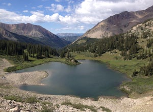
Backpack to Copper Lake
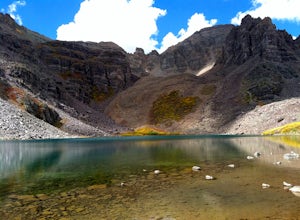
10 miLooking for a wildflower hike, we decided on Copper Lake in the Maroon Bells Wilderness as a place to base camp for 4 nights. It is 5 miles from the Trailhead, which is off Gothic Road above Crested Butte (2WD Accessible).Copper Lake is this beautiful alpine lake, situated right at treeline, with...Read more -
2203-2407 County Road 12, Colorado
Camp at Kebler Pass
4.5Camping on Kebler Pass begins at around GPS: 38.89575, -107.214655. The pass is only available during the warmer summer months but is quite the treat. We went in August to catch an eclipse and the rolling free hills made it a great place to view from. You pass a reservoir on your way in where man...Read more -
Carbondale, Colorado
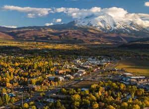
Trail Run Mushroom Rock and Red Hill
5.03 miMushroom Rock sits high above Colorado Highway 82 overlooking the town of Carbondale. With huge views up the Crystal and Roaring Fork River Valleys, terrain that inspires more desert-Utah than Rocky-Mountain-Colorado, this recreation area feels like a getaway even when it is minutes from Main Str...Read more -
Aspen, Colorado
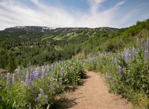
Hike to Spiral Point (Yin Yang), Snowmass
5.01.3 mi / 284 ft gainSnowmass Village is located 15 - 20 minutes west of Aspen Colorado off state highway 82. Once in Snowmass Village, take Brush Creek road almost to the top of the hill until the road splits with Divide road (If you have made it to the Snowmass Village mall, you have missed the road and must turn b...Read more -
Aspen, Colorado
Ski or Snowboard the Burnt Mountain Glades of Snowmass
5.03.5 miThis is part of the Aspen Snowmass Ski area so you'll have to buy a ski pass to take the lift up, or if you're up for a bigger workout, put some skins on and trek up to the top of Elk Camp. The easiest way to get there is to take the Elk Camp gondola to the Elk Camp lift. Once at the top of the l...Read more -
Aspen, Colorado
Hike the Mayfly Trail, Snowmass
0.25 miLocated in Snowmass Village CO, this trail is nestled between Brush Creek and Brush Creek Road.Drive your vehicle to Clark's Market (16 Kearns rd Aspen, CO) and park in the lot facing down valley looking towards Woodbridge Condominiums. Along the edge of Clark's parking lot there will be a dirt t...Read more -
Crested Butte, Colorado
Upper Westside to Crested Butte
5.010.92 mi / 2730 ft gainUpper Westside to Crested Butte is an out-and-back trail where you may see beautiful wildflowers located near Crested Butte, Colorado.Read more -
Crested Butte, Colorado
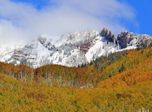
Drive Kebler Pass for Fall Colors
5.0Kebler Pass, or Gunnison County Road (GCR) 12, is an excellent place to see fall colors in Colorado. You won't get nearly as much congestion as on Independence Pass in Aspen, but you get just as many yellow and amber leaves. The road is dirt but passable by any vehicle–although because it's at ov...Read more -
Aspen, Colorado
Camp at Silver Bell Campground
Escape the bustle of town and head out of Aspen on Maroon Creek Road. Follow the signs to Maroon-Bells Snowmass Wilderness Area. There is a $10 entrance fee (unless you are a national parks pass cardholder) plus an additional fee to camp. Continue down the road to Silver Bell Campground. With a t...Read more -
Aspen, Colorado
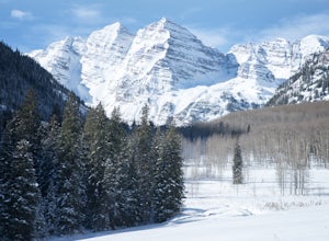
Ski or Snowshoe to the Maroon Bells
5.012 mi / 1000 ft gainFrom Aspen drive down Maroon Creek Road until it comes to its winter closure located by T Lazy 7 Ranch. The Ranch offers snowmobile tours and keeps the six mile snow covered road to the Bells groomed. Most popular with cross country skiers, the snow road can also be hiked, fat biked, and skinned....Read more -
Aspen, Colorado
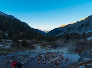
Conundrum Hot Springs via Conundrum Creek
4.316.77 mi / 2717 ft gainAfter picking up your required overnight permit, start your morning with a coffee in Aspen, then drive out 15 min to the trailhead at the end of Conundrum Creek road. The trail is a straight shot 9 miles up the valley, through expansive meadows and an always incredible view of the mountains and ...Read more -
Aspen, Colorado
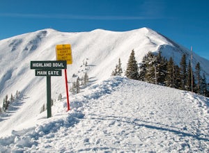
Ski the Aspen Highland Bowl
/ 782 ft gainBeing able to ski or snowboard the Highland Bowl requires a good set of lungs and legs. Accessing the 12,382-foot peak requires taking a couple of lifts from the base of Aspen Highlands Mountain (Exhibition then Loge Peak), then some serious leg work (expect a 30-60-minute hike). Some parts of th...Read more -
Aspen, Colorado
Explore Aspen's Foliage Along Government Trail
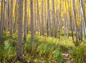
5.010 mi / 2193 ft gainThe Government Trail is beautiful and relaxing during spring and summer, but my favorite time to hike it is during fall because it goes through countless numbers of Aspen groves, which have turned a majestic yellow. After a moderate ascent for the first couple of miles, the trail become flat and ...Read more -
Aspen, Colorado
Camp on the Backside of Buttermilk Mountain
1.04 mi / 2000 ft gainPark at the Buttermilk Ski Area parking lot and begin your hike up the mountain at the bottom of the Summit Express chair lift. Follow the 4x4 dirt road the entire way up Buttermilk. There are other small hiking trails that you can follow too, and with the entire mountain being a ski area, it's s...Read more -
Aspen, Colorado
Backpack Cathedral Lake
4.75.6 mi / 2000 ft gainCathedral Lake offers an excellent alternative to escape the crowds that swarm the Maroon Bells area, especially in the peak autumn season. The drive along Castle Creek Rd towards the abandoned ski town Ashcroft is lined with aspens showing off their golden hues. Parking at the trailhead is plent...Read more -
Aspen, Colorado
Castle Peak and Conundrum Peak
5.012.71 mi / 5125 ft gainThere are many different places to start the trek up to Castle and Conundrum. The first step, however, is always go to the end of Castle Creek Road just outside of Aspen, CO. When the paved road ends, there is parking available right off the road for those who don't wish to drive further. Howe...Read more

