Snowmass Village, Colorado
Top Spots in and near Snowmass Village
-
Carbondale, Colorado
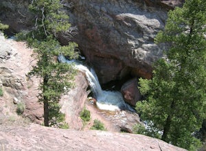
Right off of Highway 133 about 2 miles south of Redstone, lies a very easy-to-get-to Waterfall. Park your car off to the side of the highway, walk about 100 feet and you will find this glorious waterfall. The fall is best to see in the late Spring to early Summer. From late Spring, to early Summe...
Read more
-
Crested Butte, Colorado
Starting at 9600 feet, just outside the small town of Gothic is the trail head for Judd Falls. The parking lot is on the side of the road and getting to this area is completely possible with a passenger car. The trailhead includes bathrooms and is particularly uncrowded on weekdays and in the lat...
Read more
-
Crested Butte, Colorado
Please Note: Conundrum Springs camping requires an overnight permit. You must get a permit in order to camp at the springs.
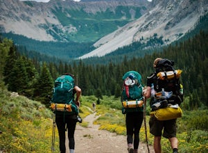
If you're looking for an incredibly challenging hike, Copper Creek to Triangle Pass to Conundrum Springs is the hike for you! When you plug in "Conundrum Springs" into you...
Read more
-
Crested Butte, Colorado
5.0
11.53 mi
/ 2264 ft gain
The Copper Creek Trail to Copper Lake is an out-and-back trail that takes you by a waterfall located near Crested Butte, Colorado.
Read more
-
Crested Butte, Colorado
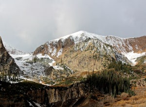
The Gothic mountain trailhead starts at 9600' about 10 miles outside Crested Butte, Colorado. A four wheel or all wheel drive vehicle is recommended to make it to the trail head. Take trail 403 which will eventually turn into Gothic Mountain trail around mile 2.5. The single track trail winds thr...
Read more
-
Aspen, Colorado
5.0
8.8 mi
/ 1290 ft gain
This 8.8 mile "loop" is not a true loop and the trail ends 4 miles apart along Independence Pass, so a car shuttle is recommended. I would recommend starting at the west trailhead (closer to Aspen) but will describe both trailheads so you can set up another car or shuttle at the other one.1) West...
Read more
-
Meredith, Colorado
Betty Bear and Skinner Huts reside deep in the Colorado backcountry surrounded by thick forests and snowy peaks. Both of these huts offer an opportunity for off-grid leisure and crowd-free skiing. The huts come stocked with padded mattresses, wood stoves & fuel, propane burners, all cookware ...
Read more
-
Crested Butte, Colorado
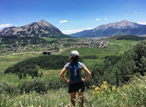
Looking for an easy trail run, close to town, with killer views? Snodgrass Mountain Trail is one of your best bets, with flowy singletrack through aspen groves and views of Mt. Gothic and Mt. Crested Butte. While there are endless beautiful trails to hike and run in the Crested Butte area, this o...
Read more
-
Crested Butte, Colorado
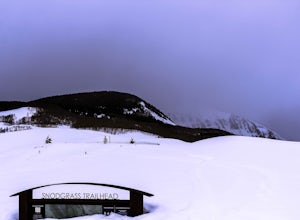
Settled in the heart of the Colorado Rockies, Crested Butte is a mecca for winter sports. Crested Butte Mountain Resort is a local favorite for downhill skiing, but if lift lines (or lifts in general) aren't really your thing, head to Snodgrass Mountain for miles of untouched snow.Snodgrass lies ...
Read more
-
Pitkin County, Colorado
Twining Peak is a ranked 13er located 2 miles north of Independence Pass. The hike involves around 1700 feet of elevation and is mostly off-trail with some class 2 scrambling (class 3 can be had if you look hard enough). Independence Pass is a prominent and popular pass on Highway 82 between Twin...
Read more
-
Basalt, Colorado
5.0
5.5 mi
/ 1036 ft gain
If you find yourself back in the Lime Creek area just outside of Eagle, Colorado and south of Sylvan Lake State Park - you should make the time to get yourself up to Eagle Lake!
The hike starts off of Brush Creek Road and follows a property line in the forest of Aspens and towering wildflowers fo...
Read more
-
Carbondale, Colorado
Mushroom Rock sits high above Colorado Highway 82 overlooking the town of Carbondale. With huge views up the Crystal and Roaring Fork River Valleys, terrain that inspires more desert-Utah than Rocky-Mountain-Colorado, this recreation area feels like a getaway even when it is minutes from Main Str...
Read more
-
Crested Butte, Colorado
The trail starts off with a small river crossing. You can find an easier place to cross nearby, or just march right through, if you have waterproof shoes or sandals.The beginning of the trail is the hardest. You will have a steep incline for about a quarter mile, following switchbacks up to the l...
Read more
-
Crested Butte, Colorado
Oh Be Joyful Campground sits on the banks of the Slate River and consists of 15 camp sites dispersed over a decent amount of ground, split into two sides of the river. The river, when it's low is more of a stream and is only passable when it's low. It's a small thrill to drive through it to get t...
Read more
-
Crested Butte, Colorado
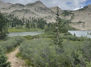
Overview: Round Trip is about 13 miles, about 500 ft ascent at the beginning and 1500 ft ascent in the last 1.5 miles. The majority of the hike is flat and through an AMAZING valley.
Getting There: Blue Lake Trailhead is located at Oh Be Joyful Campground on Slate River Rd, just across a river,...
Read more
-
Crested Butte, Colorado
If you're not already camping there, park at Oh Be Joyful Campground, about 5 miles up County Road 734 from downtown Crested Butte. There's parking on either side of the river crossing, but you're going to have to get your feet wet anyway, so might as well park in the first parking lot and walk a...
Read more

