Ridgway, Colorado
Looking for the best hiking in Ridgway? We've got you covered with the top trails, trips, hiking, backpacking, camping and more around Ridgway. The detailed guides, photos, and reviews are all submitted by the Outbound community.
Top Hiking Spots in and near Ridgway
-
Silverton, Colorado
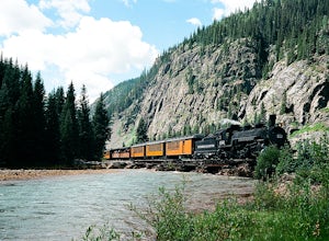
Fly Fish the Animas River
4.0While the Animas River runs for miles in the San Juan National Forest, a beautiful (and accessible) stretch runs right through Silverton, CO. Here, you can fish, hike, or chill. The river is fast with very few pockets for the trout to hide; however, if you search around enough, you'll find a fish...Read more -
Lake City, Colorado
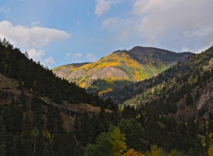
Capture Fall Foliage and Whitmore Falls on Engineer Pass
5.0Just outside of the small community of Lake City, Colorado is Engineer Pass, a dirt road that has amazing views and opportunities to hike, take pictures, and maybe even explore an abandoned mining town. Four wheel drive or all wheel drive is preferable, but the road can definitely be driven by a ...Read more -
Montrose, Colorado
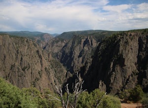
Hike to Tomichi Point and Gunnison Point Overlooks
5.02 miTo access the South Rim of the Black Canyon of the Gunnison National Park, take US 50 and CO 347 to the south entrance, 15 miles east of Montrose. There is no bridge between the north and south rims of the canyon - make sure you enter from the Montrose side.After passing through the entrance stat...Read more -
Montrose, Colorado
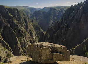
Drive the Scenic loop at Black Canyon of Gunnison National Park
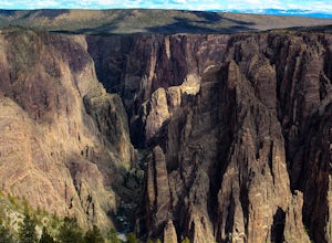
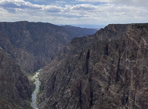
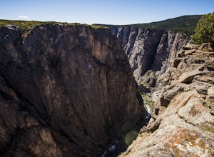
4.5The Black Canyon of Gunnison is know for 2000 foot cliffs and a beautiful raging river below. The south side of the canyon is the most popular and the easiest to get to. The visitor center is also on the south side making it convenient for information and getting souvenirs. The scenic drive also ...Read more -
Montrose, Colorado
Hike the Oak Flat Loop
5.02 mi / 377 ft gainBlack Canyon of the Gunnison is one of Colorado's four national parks. Though not as well known as Rocky Mountain or Mesa Verde, Black Canyon has no lack of views, hiking opportunities, and other must-experience natural features. The Canyon's expanse is far too large to explore in a day, but the...Read more -
Durango, Colorado
Camp at Little Molas Lake
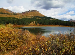
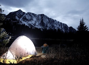
5.01 mi / 40 ft gainLittle Molas Lake Campground is about 1 mile off of US Highway 550 on Molas Pass just North of and on the other side of the highway from the Molas Overlook. Pro-tip: there is also another campground nearby called Molas Lake Park & Campground, so it's important to distinguish which you are hea...Read more -
Durango, Colorado
Hike the Colorado Trail: Little Molas Lake to Lime Creek
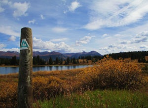
5.010 mi / 755 ft gainTo hike this section of the Colorado Trail, you'll begin from the Little Molas Lake Campground at around 10,895-ft. Little Molas Lake Campground is about 1 mile off of US Highway 550 on Molas Pass just North of and on the other side of the highway from the Molas Overlook, which is just South of S...Read more -
Crawford, Colorado
Warner Point Nature Trail
5.01.52 mi / 279 ft gainWarner Point Nature Trail is an out-and-back trail that takes you by a river located near Montrose, Colorado.Read more -
Montrose, Colorado
Hike the Gunnison Route
5.02 mi / 1800 ft gainImmediately upon arriving, secure a permit to scramble down 1,800ft in one mile to the Gunnison River. There are no hiking trails below the rim of the canyon, and because of its relentless steepness and rock exposure, the only existing routes are incredibly steep and loose. To protect the delicat...Read more -
Montrose County, Colorado
Snowshoe in Black Canyon of the Gunnison National Park
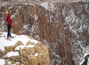
2 mi / 377 ft gainWinter is a great time to visit Black Canyon of the Gunnison National Park. Covered in snow, the canyon seems even more dramatic and sheer. The park road is plowed up until the visitor center, and there is no entrance fee in the winter. The rest of the park road is groomed for cross country skiin...Read more -
Durango, Colorado
Crater Lake via Crater Lake Trail
5.011.73 mi / 2077 ft gainReaching this trailhead actually begins off of Andrews Lake - you will see signs for Andrews Lake off HWY 550. I will provide directions from both Durango and Silverton at the end. The trailhead is extremely well marked the entire way. The mileage from Andrews lake to Crater lake one way is 5.5...Read more -
Crawford, Colorado
Hike to the Painted Wall
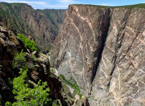
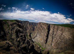
4.51 mi / 25 ft gainAt 2,250 feet, the Painted Wall in Black Canyon of the Gunnison is a sight that cannot be truly captured in photos. The layers of rock along the cliff's wall resembles a canvas with streaks from a paintbrush. This canyon took eons to create, and this view of the river and canyon walls is the high...Read more -
Crawford, Colorado
Hike the Chasm View Nature Trail
5.01 miThis easy trail is located along the north rim of the canyon and can be completed as either a short loop hike or a shorter out and back to the first overlook. You’ll find the trailhead at the North Rim Campground. The views of the canyon along this trail are fantastic, some of the best in the par...Read more -
Durango, Colorado
Adrenaline Falls
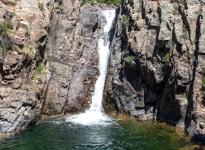
5.00.43 mi / 279 ft gainAdrenaline Falls is a popular spot for the locals to swim and relax during the warm summer months. The pool at the bottom of the falls is deep and popular for cliff jumping. To get to the waterfall, turn onto the North access to Lime Creek road. A high clearance 4x4 vehicle is recommended to ...Read more -
Durango, Colorado
Engineer Mountain via Cold Bank Pass
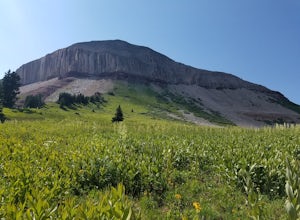
5.05.85 mi / 2293 ft gainWe were vacationing in the San Juan Mountains for 2 weeks. A local resident suggested the hike as a great place to see wildflowers. The "Engineer Mountain" sounded a bit too technical to be a scenic hike but we decided to hike like a local and this was one of the best hikes we did in 2 weeks. Ac...Read more -
Gunnison, Colorado
Hike the Dillon Pinnacles Trail
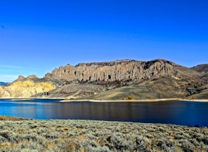
4 mi / 300 ft gainThe Dillon Pinnacles are a geologic phenomenon of southern Colorado. Volcanic eruptions formed the breccia rock into towering spires above the Sapinero Basin of Blue Mesa Reservoir. This packed dirt trail starts at about 7500 feet and climbs to a max elevation of 7800 feet. The four mile out-and-...Read more

