Powderhorn, Colorado
Looking for the best hiking in Powderhorn? We've got you covered with the top trails, trips, hiking, backpacking, camping and more around Powderhorn. The detailed guides, photos, and reviews are all submitted by the Outbound community.
Top Hiking Spots in and near Powderhorn
-
Somerset, Colorado
Hike the Three Lakes Trail
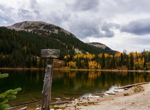
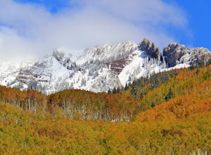
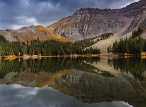
5.04.5 mi / 580 ft gainThe Three Lakes trail near Crested Butte is a great loop if you're looking to hit up a couple mountain lakes. At 4.5 miles with moderate incline, this trail can easily be knocked out in under 2 hours. It also is a great hike to admire fall colors as you'll get great views of the Ruby Range and th...Read more -
Ophir, Colorado
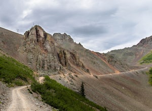
Ophir Pass Road
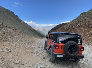
5.09.93 mi / 1696 ft gainOphir Pass Road is a point-to-point trail where you may see beautiful wildflowers located near Ophir, Colorado.Read more -
Silverton, Colorado
Fly Fish the Animas River
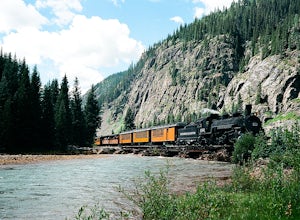
4.0While the Animas River runs for miles in the San Juan National Forest, a beautiful (and accessible) stretch runs right through Silverton, CO. Here, you can fish, hike, or chill. The river is fast with very few pockets for the trout to hide; however, if you search around enough, you'll find a fish...Read more -
2203-2407 County Road 12, Colorado
Camp at Kebler Pass
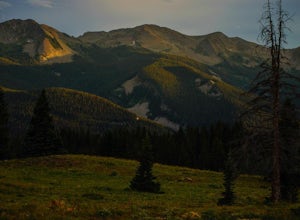
4.5Camping on Kebler Pass begins at around GPS: 38.89575, -107.214655. The pass is only available during the warmer summer months but is quite the treat. We went in August to catch an eclipse and the rolling free hills made it a great place to view from. You pass a reservoir on your way in where man...Read more -
Crested Butte, Colorado
Drive Kebler Pass for Fall Colors
5.0Kebler Pass, or Gunnison County Road (GCR) 12, is an excellent place to see fall colors in Colorado. You won't get nearly as much congestion as on Independence Pass in Aspen, but you get just as many yellow and amber leaves. The road is dirt but passable by any vehicle–although because it's at ov...Read more -
Telluride, Colorado
Alta Lakes Dispersed Camping
4.7Note: Camping is permitted around the lake. There are approximately 20 undeveloped campsites. For more information, head to the US Forest Service website. Camping Facilities20 campsites that are completely undevelopedCamping is permitted at only the designated campsitesPortable toilets are avail...Read more -
Parlin, Colorado
Hike to Roosevelt Mine
5.01.5 miAbandoned in 1919, Roosevelt Mine is a lost treasure of Gunnison County, Colorado. Exactly three miles outside the tiny town of Ohio City is the unmarked trailhead on the side of a road pull off for Roosevelt the mine. The trail is otherwise well established and easy to follow. The trail is a lit...Read more -
Telluride, Colorado
Explore Alta Ghost Town
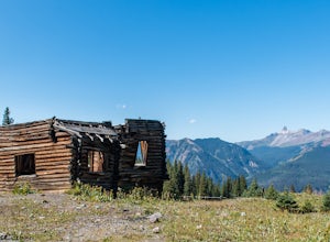
5.00.5 miAlta Ghost Town is located about 10 miles from Telluride on Alta Lakes Road. Take the rugged dirt road approximately 2 miles until the ghost town appears on the left. Hike up the short trail to view the remnants of the old mining town with many of the buildings still standing, including the impre...Read more -
Durango, Colorado
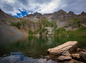
Explore Clear Lake
5.0The road to Clear Lake offers wonderful views of the South Fork Mineral Creek, and the San Juan Mountains. Some people make the 9-mile round-trip hike with 2,600 feet of elevation gain, others drive as far as their vehicle will allow and hike from there, and some make the drive all the way up. It...Read more -
Ophir, Colorado
Drive Ophir Pass
4.58 mi / 2500 ft gainOphir Pass (el. 11,114’), officially known as Forest Service Road #630, is one of the easiest of the high alpine trails in the San Juan mountains, but still can provide trouble to the inexperienced or when bad weather is present, particularly on the western/Ophir downhill side. The pass and road ...Read more -
Durango, Colorado
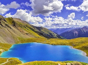
Upper Ice Lake
5.06.74 mi / 2464 ft gainFrom the Ice Lakes trailhead begin hiking through a meadow that quickly enters the forest and begins to climb. The trail will climb ~1,600 feet in the next two miles. As the trail climbs there is a scenic waterfall just over .5 miles, it is worth it to scamper up for a closer look (at ~1.0 miles ...Read more -
Durango, Colorado
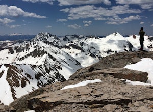
Climb Fuller Peak
3.0Begin by hiking the Ice Lakes Trail for 3.5 miles, which will take you to Ice Lake. From here, you can identify the obvious, delta-shaped mountain to climber's left, known as Fuller Peak (13,761ft). Hike cross country, directly toward the base of the North Ridge (right skyline), walking past Full...Read more -
Durango, Colorado
Backpack to Island Lake
5.08 mi / 3000 ft gainFrom the Ice Lakes basin Trailhead, this 8 mile round trip trail with 3000 feet of elevation gain will bring you to the Ice Lakes Basin with an abundance of beautiful lakes, especially Island Lake and Ice Lake. We camped on a little shelf above Island Lake, but you can camp anywhere you find a ni...Read more -
Durango, Colorado
Camp at South Mineral Campground
4.8Some general notes: South Mineral Campground does not take reservations - all sites are first come first served. There are an assortment of designated areas along South Mineral Road where dispersed camping is allowed so there is plenty of camping in the canyon on all but the busiest days, but y...Read more -
Crested Butte, Colorado
Blue Lake via Oh Be Joyful Campground
12.96 mi / 2201 ft gainOverview: Round Trip is about 13 miles, about 500 ft ascent at the beginning and 1500 ft ascent in the last 1.5 miles. The majority of the hike is flat and through an AMAZING valley. Getting There: Blue Lake Trailhead is located at Oh Be Joyful Campground on Slate River Rd, just across a river,...Read more -
Crested Butte, Colorado
Explore the waterfalls of Oh Be Joyful Creek
If you're not already camping there, park at Oh Be Joyful Campground, about 5 miles up County Road 734 from downtown Crested Butte. There's parking on either side of the river crossing, but you're going to have to get your feet wet anyway, so might as well park in the first parking lot and walk a...Read more

