Parshall, Colorado
Top Spots in and near Parshall
-
Allenspark, Colorado
Hike to Adams Falls
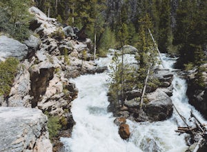
4.81 mi / 113 ft gainAdams Falls is one of the most popular hikes in the Grand Lake area, and one of the easiest. If you are just hiking to the falls, you will not need to bring much with you besides a camera, due to the distance. If you plan to venture past the falls, pack accordingly. Once you park in the trail...Read more -
Allenspark, Colorado
Hike to Lone Pine Lake (Grand Lake, CO)
5.010.44 mi / 1494 ft gainStarting at the East Inlet Trailhead, with an elevation of 8,391 feet, the trail is on a nice dirt path and you're immediately greeted with the sight of Adams Falls on your right, just 0.3 miles in. After continuing on after Adams Falls, the next 1.5 miles lead you out into the sunlight with brea...Read more -
Grand Lake, Colorado
Hike to Cascade Falls, Rocky Mountain NP
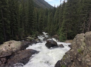
5.06.8 mi / 425 ft gainCascade Falls is accessed through the North Inlet Trail on the western side of Rocky Mountain National Park. The trailhead, North Inlet Trailhead, is north of the main town area of Grand Lake. Parking at the trailhead is limited, so hikers can also park along the road leading to the trailhead. Th...Read more -
Grand Lake, Colorado
Backpack the CDT Loop in Rocky Mountain NP
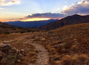
24.3 mi / 4000 ft gainThis section of the CDT begins at the North Inlet trailhead, located on the western side of Rocky Mountain National Park. The trailhead is north of the main town area of Grand Lake. Parking at the trailhead is limited, so hikers can also park along the road leading to the trailhead. The hike foll...Read more -
Silverthorne, Colorado
Backpack to Upper Slate Lake
5.028 mi / 1386 ft gainStarting from the Rock Creek Trailhead parking lot, it is an up and down trek to Upper Slate Lake. The trail map states 10 miles each way, but accounting for switchbacks it ends up being closer to 14 long, hard miles.You will be among aspens and pines for the first half as you have a few moderate...Read more -
Grand Lake, Colorado
Hike to Big Meadows and Granite Falls
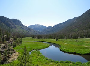
5.010.3 miThe Green Mountain Trail is part of the Continental Divide National Scenic Trail (CDT) which is a foot path from Mexico to Canada. Big Meadows is a great place to view elk, moose, and deer. Other animals you can see in the area are abert squirrels, river otters, weasels, and black bear.Big Meadow...Read more -
Parshall, Colorado
Camp at Jones Pass
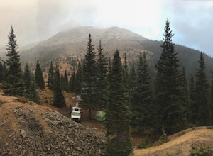
4.5To locate these campsites all you have to do is type in Jones Pass Road into google maps or your iPhone and it will take you straight there. There are road signs once you get off I-70 that will help you the rest of the way that say Jones Pass. Once you hit the dirt road and pass the Jones Pass Tr...Read more -
Parshall, Colorado
Butler Gulch
4.55.26 mi / 2008 ft gainButler Gulch is a pristinely beautiful day hike in the heart of the Arapaho National Forest near Idaho Springs, Colorado. Easily accessible from Denver, Butler Gulch is full of jaw-dropping views in all seasons, and anyone in good health can enjoy this gem. The hike is five miles long and rated ...Read more -
Parshall, Colorado
Snowshoe Butler Gulch
5 mi / 1500 ft gainIn fall, winter and spring, the trail is covered in snow, which makes it ideal for backcountry skiing and snowshoeing. The trail becomes indistinguishable after the first mile or two, but usually you can follow previous skiers' tracks up the mountainside.What you miss in wildflowers or mine sight...Read more -
Idaho Springs, Colorado
Snowshoe Jim Creek Trail
5 mi / 965 ft gainStarting at 9,220 feet of elevation, this 5 mile out-and-back snowshoe begins its 965 foot elevation gain meandering through a quiet forest. The trail will take you through the woods for a few miles, and you can turn around whenever you like. If you're up for a challenge and have a lot of time, y...Read more -
Parshall, Colorado
Ski or Snowshoe Jones Pass
4.06 mi / 1600 ft gainIts sister trail, Butler Gulch, is an all-time favorite hike (both summer and winter), and since they share a trailhead, I knew Jones Pass would be special as well.Jones Pass is not the type of trail I normally take, since it is actually a 4x4 road that is used for Jeeping in the summer and snowm...Read more -
Winter Park, Colorado
Snowshoe to Broome Hut
1.5 mi / 729 ft gainTake I-70 from Denver and then US 40, go all the way to Mile marker 240 of US 40 and park in the area at the side of the road. The Second Creek trail head is just behind the parking area and is easy to find.The trail climbs from a start at 10,600ft and finishes up at 11,325ft at the hut, but you ...Read more -
Winter Park, Colorado
Twin Cones via Second Creek Trailhead
5.04.85 mi / 1614 ft gainThis hike begins at Second Creek Trailhead off of US Highway 40. It's pretty steep right off the bar gaining about 800ft of elevation in the first mile. This first mile takes you to Broome Hut, which has a bathroom and is a great place to stop and take a break. Keep in mind that there are no dogs...Read more -
Nederland, Colorado
Hike Rollins Pass to Devils Thumb
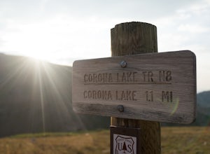
2.1 mi / 622 ft gainCorona Lake is an easy, short hike if you're pressed for time. It's scenic, secluded, and will put you in a great spot to hike to Devils Thumb the next day. There are two ways to reach Devils Thumb. This is considered the "easier" route because of the "lack of elevation gain." The sun and wind re...Read more -
Berthoud Pass, Colorado
Ski or Snowboard Berthoud Pass Colorado
Berthoud Pass is 55 miles from Denver making it one of the closest places to get out and backcountry tour in the winter. At 11,370 Berthoud Pass crosses the continental divide. From the top of the pass you can do shuttle runs down the south side of the pass. Or, you can venture on the East or Wes...Read more -
Winter Park, Colorado
Snowshoe Mount Flora
6.2 mi / 1738 ft gainMy friend Austin and I hiked up to Mt Flora last year on what was probably the coldest day ever. Ever? It was 9 degrees at the Berthoud Pass parking lot and we had 32mph winds nearly the whole way. We estimated the temp to be around -28ºF with the windchill... brrrr!DirectionsFrom the Berthoud Pa...Read more

