Parshall, Colorado
Top Spots in and near Parshall
-
Estes Park, Colorado
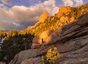
Lumpy Ridge to Gem Lake
4.33.12 mi / 950 ft gainBegin by parking at the Lumpy Ridge trailhead, which is a couple miles outside of Estes Park on McGregor Avenue. At the trailhead, there are numerous signs indicating hiking trails, climbing routes, and other information about the area. After parking start hiking on the trail to the right of the ...Read more -
Estes Park, Colorado
Climb at Lumpy Ridge
Lumpy Ridge is mostly a traditional climbing area with most climbs being two or more pitches after a mile to 3+ miles of mostly flat walking. From climbers left to right the larger areas consist of Sundance Buttress, The Bookend, The Bookmark, The Book, and Twin Owls. There are smaller formatio...Read more -
Evergreen, Colorado
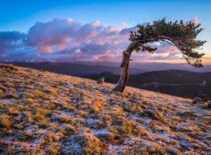
Photograph Ancient Bristlecone Pines on Mt. Goliath
5.0On the way to the summit of Mt. Evans sits a small 160 acre preserve of some of the world's oldest living trees. The Mount Goliath Natural Area protects a rare site of Bristlecone Pines that make excellent photographic subjects.Immediately after parking you're surrounded by a miniature forest ful...Read more -
Golden, Colorado
Hike the Blue Grouse Trail Loop
3.06 mi / 400 ft gainStart the hike at the Blue Grouse Trailhead located next to Kriley Pond. Travel along Blue Grouse Trail for 0.7 miles until you reach a fork in the trail at Mule Trail where you will take a right. Along the Mule Trail you will travel up a series of switch backs before the trail levels out and you...Read more -
Red Cliff, Colorado
Ski to Fowler-Hilliard Hut
6.5 mi / 2500 ft gainFowler-Hilliard hut sits at 11,500 ft on a forested ridge of Resolution Mountain, with easy access to intermediate and expert backcountry skiing right out the door. This newer hut was built in 2010 after the original hut burned down from a lightning strike. The hut comes stocked with padded mattr...Read more -
Evergreen, Colorado
Mount Evans and Mount Spalding Loop
4.38.47 mi / 1706 ft gainMount Evans is a simple, yet drop dead gorgeous 14er. That being said, no 14er is easy by any means. However as far as 14er's go, this is a cake walk. Coming in at a rating of class 2, there tends to be some scrambling but nothing a well balanced person can't handle. To begin this adventure, we ...Read more -
Lyons, Colorado
Camp at Coulson Gulch
4.09 miCoulson Gulch is a lightly used area of the Roosevelt National Forest which makes it perfect for a weekend getaway without the crowds. This is a great place to camp out under the stars!To get to Coulson Gulch From Lyons, head west on U.S. Highway 36 for about 9 miles. Turn southwest onto Larimer ...Read more -
Estes Park, Colorado
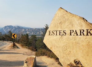
Photograph at The Estes Park Sign
This sign is on the mountainous decline just before you reach town. There's a small parking lot that fills up quick in peak season, but most people only spend a few minutes here on their way in to Estes Park and Rocky Mountain National Park. It is easy enough to have people take your picture, jus...Read more -
Lyons, Colorado
Winter Camp Near Coulson Gulch
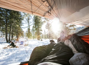
4.0County Road 47 is between Lyons and Estes Park. It's an easy drive from Denver and is a great place to get away for the weekend. I have camped here in the summer, fall, and winter. I have to say that snow camping was my favorite. I didn't see anyone the whole weekend and had the entire area to ex...Read more -
Golden, Colorado
Hike Beaver Trail in Golden Gate Canyon State Park
2.3 mi / 1046 ft gainThis trail starts off at Slough Pond, a great fishing pond or picnic spot. The trail starts out tree-covered. After a few tenths of a mile you have the choice to go clockwise or counter-clockwise. If you go counter-clockwise you have about 3/4 of a mile of steep uphill hiking to do (the Park rate...Read more -
Walden, Colorado
Backpack to Kelly Lake In State Forest SP
13.2 mi / 2624 ft gainRound trip will take you along 13.2 beautiful miles of Northern Colorado backcountry. Starting from the trail head which can be found within the entrance of the park (near the horse ring and car camping), you'll head into some beautiful backcountry. Before you reach the woods, a 4x4 trail will be...Read more -
Summit County, Colorado
Hike to Crystal Peak
5.08.6 mi / 2482 ft gainOnce you turn off of Colorado hwy 9 onto dirt, your GPS will lead you to a gravel lot. At the end of that lot there's a pretty steep gravel road that heads NNW (GPS coords: 39°25'43.01"N 106° 4'11.30"W | Map Link if you want to plug that into your GPS for parking). From this lot you'll walk up t...Read more -
Steamboat Springs, Colorado
Hike Fish Creek Falls in Steamboat Springs
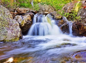
4.04.36 mi / 1440 ft gainEasily the most popular hike in Steamboat Springs, FishCreek Falls earns its popularity not just by its close proximity to town, butby its spectacular waterfalls. If you are a waterfall aficionado, then thishike is for you. Just 3.5 miles from Main Street in Steamboat, the hike tothe Lower and U...Read more -
Gypsum, Colorado
Camp at Pinball Point
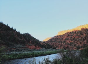
This amazing campsite has river access (freezing cold!), beautiful scenic views of red rocks and rock faces in varying shades of brown and tan. It's the only campsite at this location so feel lucky that this whole area is just yours. Beautiful views of the moon and stars and get ready for the rus...Read more -
Evergreen, Colorado
Watch the Sunset from Mt Evans Road
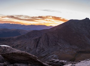
5.0Leave Evergreen, CO and access the Mount Evans Road and Mount Evans Recreation Area from Squaw Pass, CO 103 at Echo Lake.Drive along the slopes of Mount Evans, a Colorado 14er standing at 14,264 ft. 5 switchbacks down from the summit, on a tight hairpin turn, is a small parking area near 13,900f...Read more -
Frisco, Colorado
Backcountry Ski or Snowboard at Mayflower Gulch
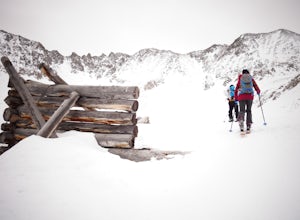
If you were driving down highway 91 towards Leadville and blinked at just the right moment, you'd drive right past this hidden gem of an area. Located just over 6 miles South of Copper Mountain ski resort on the East side of highway 91, the parking lot for the Mayflower Gulch trail head offers pl...Read more

