Ouray County, Colorado
Top Spots in and near Ouray County
-
Telluride, Colorado
Explore Alta Ghost Town
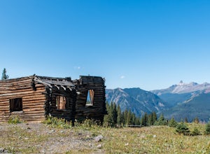
5.00.5 miAlta Ghost Town is located about 10 miles from Telluride on Alta Lakes Road. Take the rugged dirt road approximately 2 miles until the ghost town appears on the left. Hike up the short trail to view the remnants of the old mining town with many of the buildings still standing, including the impre...Read more -
Lake City, Colorado
Explore Nellie Creek Falls
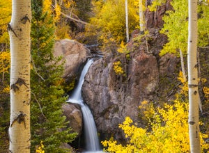
5.00.8 mi / 300 ft gainNellie Creek Falls is a beautiful little falls, up County Road 23. The waterfall is surrounded by a forest of aspens leading up the valley. To get to the falls take the northern route of the Alpine Loop from Lake City towards Engineer Pass. In about 5 miles you come to Nellie Creek Road on the ri...Read more -
Montrose, Colorado
Drive the East Portal Road
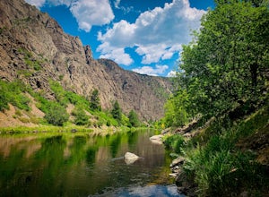
Want an easier way to get to the bottom of the canyon without the rugged hiking trails? Drive to the bottom via the East Portal Road. Open once the harsh winter breaks, this road switchbacks its way to the bottom at the meeting place of Curecanti National Recreation area and Black Canyon of the G...Read more -
Montrose, Colorado
Camp at Black Canyon of the Gunnison's South Rim Campground
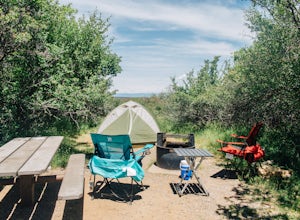
5.0The South Rim Campground is located about 6 miles inside Black Canyon of the Gunnison National Park. There are a total of 88 sites, 34 of which are available year-round. Reservations are definitely recommended, but are not required - loop C is first-come, first-served. Loop B fills up first, as i...Read more -
Montrose, Colorado
Hike to Tomichi Point and Gunnison Point Overlooks
5.02 miTo access the South Rim of the Black Canyon of the Gunnison National Park, take US 50 and CO 347 to the south entrance, 15 miles east of Montrose. There is no bridge between the north and south rims of the canyon - make sure you enter from the Montrose side.After passing through the entrance stat...Read more -
Ophir, Colorado
Drive Ophir Pass
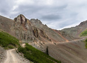
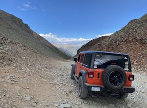
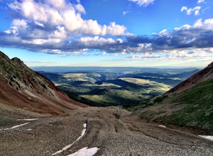
4.58 mi / 2500 ft gainOphir Pass (el. 11,114’), officially known as Forest Service Road #630, is one of the easiest of the high alpine trails in the San Juan mountains, but still can provide trouble to the inexperienced or when bad weather is present, particularly on the western/Ophir downhill side. The pass and road ...Read more -
San Miguel County, Colorado
Mystic Falls
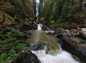
4.22.39 mi / 138 ft gainI've been visiting Telluride, CO for the last 20 years, and I'd never once heard of this place. Mystic Falls is not marked on any map I've ever seen. And even some locals seem to have never heard of it. So I feel like I lucked out on this last trip to Telluride when a friend found a blog post and...Read more -
Lake City, Colorado
Hike Redcloud and Sunshine Peaks
5.012 mi / 4800 ft gainThe easier drive to the Silver Creek / Grizzly Gulch trailhead is reached by traveling south from Lake City and turning right onto County Road 30. Although parts can be rough and the shelf road around the base of Sunshine Peak may cause a tighter grip on the steering wheel, in dry conditions a hi...Read more -
Ophir, Colorado
Ophir Pass Road
5.09.93 mi / 1696 ft gainOphir Pass Road is a point-to-point trail where you may see beautiful wildflowers located near Ophir, Colorado.Read more -
Montrose, Colorado
Drive the Scenic loop at Black Canyon of Gunnison National Park
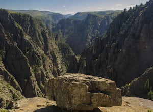
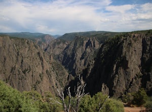
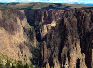
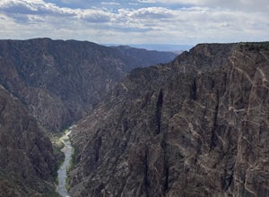
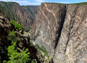
4.5The Black Canyon of Gunnison is know for 2000 foot cliffs and a beautiful raging river below. The south side of the canyon is the most popular and the easiest to get to. The visitor center is also on the south side making it convenient for information and getting souvenirs. The scenic drive also ...Read more -
Montrose, Colorado
Hike the Oak Flat Loop
5.02 mi / 377 ft gainBlack Canyon of the Gunnison is one of Colorado's four national parks. Though not as well known as Rocky Mountain or Mesa Verde, Black Canyon has no lack of views, hiking opportunities, and other must-experience natural features. The Canyon's expanse is far too large to explore in a day, but the...Read more -
Crawford, Colorado
Warner Point Nature Trail
5.01.52 mi / 279 ft gainWarner Point Nature Trail is an out-and-back trail that takes you by a river located near Montrose, Colorado.Read more -
Montrose, Colorado
Hike the Gunnison Route
5.02 mi / 1800 ft gainImmediately upon arriving, secure a permit to scramble down 1,800ft in one mile to the Gunnison River. There are no hiking trails below the rim of the canyon, and because of its relentless steepness and rock exposure, the only existing routes are incredibly steep and loose. To protect the delicat...Read more -
Montrose County, Colorado
Snowshoe in Black Canyon of the Gunnison National Park
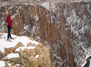
2 mi / 377 ft gainWinter is a great time to visit Black Canyon of the Gunnison National Park. Covered in snow, the canyon seems even more dramatic and sheer. The park road is plowed up until the visitor center, and there is no entrance fee in the winter. The rest of the park road is groomed for cross country skiin...Read more -
Durango, Colorado
Explore Clear Lake
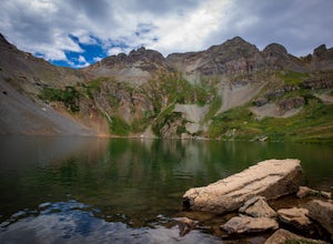
5.0The road to Clear Lake offers wonderful views of the South Fork Mineral Creek, and the San Juan Mountains. Some people make the 9-mile round-trip hike with 2,600 feet of elevation gain, others drive as far as their vehicle will allow and hike from there, and some make the drive all the way up. It...Read more -
Placerville, Colorado
Hike Wilson Peak aka Coors Peak
4.0The mountain peak that turns blue when Coors and Coors Light bottles and cans are ice cold is real. No, it is not called Coors Peak. But it is in Colorado, where Coors was born. The snow-capped mountain in the Coors logo is really Wilson Peak near Telluride, Colorado.If you want to crack a Coo...Read more

