Nathrop, Colorado
Looking for the best chillin in Nathrop? We've got you covered with the top trails, trips, hiking, backpacking, camping and more around Nathrop. The detailed guides, photos, and reviews are all submitted by the Outbound community.
Top Chillin Spots in and near Nathrop
-
Breckenridge, Colorado
Hike to & Stay at Francie's Cabin
5.01.09 mi / 1000 ft gainLocated at 11,360' and owned by the 10th Mountain Division Hut Association, Francies Cabin was built in memory of Frances Lockwood Bailey in 1994 and is located just a short distance (5 mile drive, 1.05 mile hike) from town of Breckenridge, Colorado. It has a summer and winter capacity of 20 peop...Read more -
Sedalia, Colorado
Backpack the Lost Creek Loop
33.5 mi / 6200 ft gainLost Creek Wilderness may be my favorite part of Colorado. It contains varied terrain and geography, and is less crowded than most places. This loop will take you through everything the wilderness area has to offer. You will get sweeping panoramas of mountain ranges to the south, as well has m...Read more -
Meredith, Colorado
Hike to Chapman Lake
1.6 miFrom downtown Basalt, drive up the Fryingpan River Road 28 miles and turn right on CR #504, also known as Elliot Way, just before Norrie Colony. Drive across the river and up the switchbacks for approximately 3 miles. Take the left fork, continue 1 mile and take the right fork approximately 1/2 m...Read more -
Cañon City, Colorado
Drive Skyline Drive
5.0Skyline drive is a one way scenic roadway mainly going north to south. The 3 mile drive takes you about 800 feet above Cañon City. It starts on the west side of 50, and ends in a residential neighborhood southwest of where it begins. There are multiple pull offs on the right and left side of the...Read more -
Leadville, Colorado
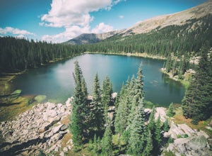
Savage Lakes Trail
5.03.97 mi / 1299 ft gainThe majority of this hike traverses through the beautiful forest that is part of the Holy Cross Wilderness. No significant views are to be had until you've climbed 1,300 ft over 2. miles and reach lower Savage Lake. The trail is easy enough to follow with no junctions along the way, and is adjace...Read more -
Aspen, Colorado
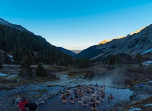
Conundrum Hot Springs via Conundrum Creek
4.316.77 mi / 2717 ft gainAfter picking up your required overnight permit, start your morning with a coffee in Aspen, then drive out 15 min to the trailhead at the end of Conundrum Creek road. The trail is a straight shot 9 miles up the valley, through expansive meadows and an always incredible view of the mountains and ...Read more -
Gunnison, Colorado
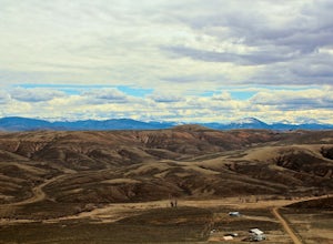
Camp at Hartman Rocks
3.0Just 3 miles outside the small south central town of Gunnison, Colorado lies Hartman Rocks recreation area. This 8000 acre open space includes 40 miles of single track trails as well as 33 miles of road. Camping at Hartman Rocks is the perfect way spend a relaxing night, or get an early start to ...Read more -
Crested Butte, Colorado
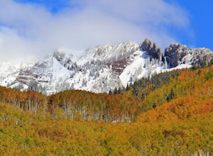
Drive Kebler Pass for Fall Colors
5.0Kebler Pass, or Gunnison County Road (GCR) 12, is an excellent place to see fall colors in Colorado. You won't get nearly as much congestion as on Independence Pass in Aspen, but you get just as many yellow and amber leaves. The road is dirt but passable by any vehicle–although because it's at ov...Read more -
Crested Butte, Colorado
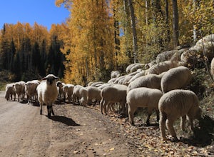
Photograph Sheep along Kebbler Pass
5.0Fall time in Colorado is incredibly scenic, and if you drive up to Crested Butte, you may find herds of sheep being led down the mountains. Drive along Kebbler Pass in September and October, and look for these huge herds of sheep. Though it can be difficult to track them down, they make for amazi...Read more

