Morrison, Colorado
Looking for the best photography in Morrison? We've got you covered with the top trails, trips, hiking, backpacking, camping and more around Morrison. The detailed guides, photos, and reviews are all submitted by the Outbound community.
Top Photography Spots in and near Morrison
-
Jefferson, Colorado
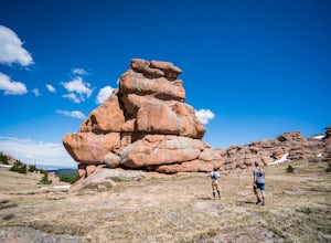
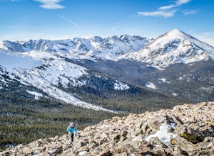
Trek through Granite Pillars on Bison Peak
12.4 mi / 4000 ft gainBison peak sits 2 hours from Denver in the mountains of the Lost Creek Wilderness. To reach the 12,431 ft. summit you'll start in low density ponderosa forest at 8,750 ft on crushed granite trail. Early starts are recommended in the summer months as the trail's high albedo can make for an extreme...Read more -
Larkspur, Colorado
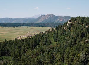
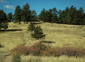
Spruce Mountain Loop
4.55.46 mi / 810 ft gainSpruce mountain is an approximately 4.2 mile loop outside of Colorado Springs near Palmer lake. The hike is a pretty easy one, that has some great views of the Front Range including peak a boo views of Pikes Peak. Starting at the Trailhead, you can either take the right or left trail which will t...Read more -
Lyons, Colorado
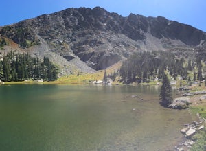
Backpack to Red Deer Lake, CO
4.06.4 mi / 1900 ft gainThis is an excellent place to take your family backpacking. It is a fairly easy trail and definitely a great one for kids. Take in the beautiful scenery while hiking through meadows, aspen and pine with incredible mountain views in the Indian Peaks Wilderness. 6.4 miles to Red Deer Lake with an e...Read more -
Nederland, Colorado
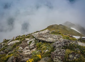
Hike to Columbine Lake
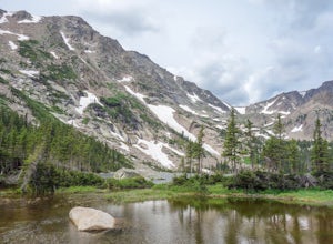
5.07 mi / 1200 ft gainThe hike is about seven miles, give or take, however it feels longer. The elevation gain is little over 1000 feet. The drive here is about 45 minutes from both Granby and Winter Park, and is definitely worth it. You follow a trail dusted with wildflowers for the majority of the hike, and occasio...Read more -
Lyons, Colorado
Hike Meadow Mountain
4.07.7 mi / 2832 ft gainFrom the trailhead, follow the trail through the woods until you reach a meadow with a steep slope. Some portions of this slope reach an angle of 30 degrees and may feature slight avalanche danger in the winter. However, the trail is used enough that such conditions would make themselves known ...Read more -
Lyons, Colorado
Sleepy Lion Trail
4.7 mi / 712 ft gainThe trailhead is about eight tenths of a mile from the parking area. You pass some sport climbs, a man made waterfall, and some large boulders in the North St. Vrain Creek.The trailhead is clearly marked on the left. There is some elevation gain at the beginning but nothing difficult. Once the el...Read more -
Longmont, Colorado
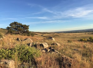
Hike or Trail Run on Rabbit Mountain, CO
4.03.95 mi / 472 ft gainThis is a great hike/trail run in Boulder County. It is located between Longmont and Lyons and is part of Boulder County Open Space. Rabbit Mountain has over 5 miles of trails and 2,733 acres of beautiful open space. The views are incredible as most of your hike you are looking out at the entire ...Read more -
Fraser, Colorado
Summit Byers Peak
8.8 mi / 2774 ft gainThe drive to the start of the trail is okay, having a high clearance vehicle would make the drive easier, but is not necessary. Free parking is available along the side of the road.The trail starts on a closed service road at a gate and requires you to either hike or bike up the dirt road (2 mil...Read more -
Woodland Park, Colorado
Red Rocks at Woodland Park
4.31 mi / 100 ft gainIn Woodland Park driving on HWY 24 towards Divide, you will see signs for HWY 67 which is where you'll need to get to. The Road will fork towards the end of town (left being 24 towards Divide, Right being 67). Stay right at the fork onto 67. You will then drive about 2 miles until you see a sign ...Read more -
Lyons, Colorado
Camp at Coulson Gulch
4.09 miCoulson Gulch is a lightly used area of the Roosevelt National Forest which makes it perfect for a weekend getaway without the crowds. This is a great place to camp out under the stars!To get to Coulson Gulch From Lyons, head west on U.S. Highway 36 for about 9 miles. Turn southwest onto Larimer ...Read more -
Allenspark, Colorado
Hike to Pear Lake
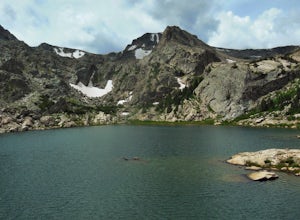
5.013 mi / 2112 ft gainPear lake is a beautiful alpine lake in the southern Wild Basin region of Rocky Mountain National Park. Once used as a reservoir, Pear Lake has been restored to its natural state and lies in scenic basin below some of the most isolated mountains in the park. The trail to Pear Lake passes through ...Read more -
Allenspark, Colorado
Hike to Finch Lake
3.08.96 miThere are several ways to reach finch lake but this will cover the route from the Finch Lake Trailhead in the wild basin area of Rocky Mountain National Park. You can also loop it with other trails in the area or begin at the Allenspark Trailhead, which is technically outside the park and a bit e...Read more -
Lyons, Colorado
Winter Camp Near Coulson Gulch
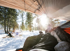
4.0County Road 47 is between Lyons and Estes Park. It's an easy drive from Denver and is a great place to get away for the weekend. I have camped here in the summer, fall, and winter. I have to say that snow camping was my favorite. I didn't see anyone the whole weekend and had the entire area to ex...Read more -
Allenspark, Colorado
Sandbeach Lake Trail
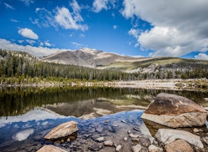
4.08.56 mi / 2057 ft gainSandbeach Lake is best known for (as you can probably guess) its wide sandy shore. At nearly 50 feet deep, it is one of Rocky Mountain National Parks deepest lakes. If you are looking to fish at the lake, make sure to bring barbless flies and lures. There are six official campsites (1.8 miles Hol...Read more -
Allenspark, Colorado
Backpack to Bluebird Lake
4.314 mi / 2500 ft gainStarting at the Wild Basin trailhead on the south side of Rocky Mountain National Park, hike through a wet forest towards upper and lower Copeland Falls, located 0.45 miles from the trailhead. From here, continue on the main trail along the North Fork of the Saint Vrain River to Calypso Cascades,...Read more -
Allenspark, Colorado
Hike to Thunder Lake
12 mi / 2275 ft gainStarting at the often-busy Wild Basin TH, the trail passes through dense forests as it follows the North Fork of the Saint Vrain River through the southernmost section of Rocky Mountain National Park. The trail passes alongside the small Copeland Falls before continuing west towards Calypso Casca...Read more

