Morrison, Colorado
Looking for the best photography in Morrison? We've got you covered with the top trails, trips, hiking, backpacking, camping and more around Morrison. The detailed guides, photos, and reviews are all submitted by the Outbound community.
Top Photography Spots in and near Morrison
-
Frisco, Colorado
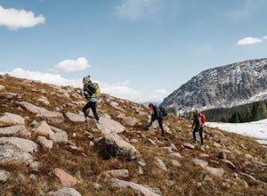
Hike Red Buffalo Pass, Frisco to East Vail
13.2 mi / 3400 ft gainStarting at the Meadow Creek trailhead in Frisco, you'll find yourself ending up in East Vail at Gore Lake Trailhead. See all photos here. The trail in Meadow Creek starts to climb at a gradual pace for the 3-4 miles, after a mile or so, take a look back upon the views of Lake Dillion. You'll ar...Read more -
Breckenridge, Colorado
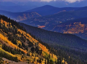
Day Hike to Lower & Upper Mohawk Lakes
4.67 mi / 1800 ft gainI recently spent the weekend in Breckenridge, and not being from the area, there was one hike that was on my bucket list: Mohawk Lakes. It didn’t disappoint! In late September, the Breckenridge area is full of gorgeous golden aspen trees, providing spectacular long-range views. In summer, abundan...Read more -
Breckenridge, Colorado
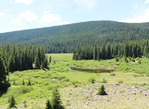
Backpack & Fish The Mohawk Lakes
4.06.8 mi / 1940 ft gainThe trailhead is located a few miles out side of Breckenridge Colorado. The trail starts at 10,390' and the first two miles are spent walking through a mix of fir, aspen, and spruce trees until the trail goes parallel to Spruce Creek Road and eventually crosses it and continues over a small dam (...Read more -
Breckenridge, Colorado
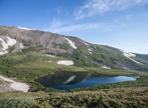
Lower Crystal Lake via Crystal Creek Road
5.04.52 mi / 1624 ft gainTo get to the Crystal Lakes start at the Spruce Creek Trailhead. You can hike or drive to the Lower Crystal Lake along Crystal Creek Road. If you choose to drive, you will need a high clearance 4x4 vehicle as you follow along Crystal Creek Road. The road is steep, but when they get to the top it ...Read more -
Breckenridge, Colorado
Hike to & Stay at Francie's Cabin
5.01.09 mi / 1000 ft gainLocated at 11,360' and owned by the 10th Mountain Division Hut Association, Francies Cabin was built in memory of Frances Lockwood Bailey in 1994 and is located just a short distance (5 mile drive, 1.05 mile hike) from town of Breckenridge, Colorado. It has a summer and winter capacity of 20 peop...Read more -
Silverthorne, Colorado
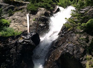
South Willow Falls
4.66.17 miStart at the Willowbrook Trailhead. You’ll hit a “Y” in the trail pretty quickly - go left and you’ll soon be at the first log bridge. There are quite a few water crossings on the trail, but they are easy to maneuver. After hiking in the Willow Creek Open Space for a bit, you’ll enter Eagle’s Ne...Read more -
Frisco, Colorado
Climb Mount Royal
4.7To access the trailhead, drive 4 blocks South to the end of 2nd Avenue from Frisco's Main Street. The trailhead is located around 9,075 feet.Being a popular hike, the trail is clear in the summer months and usually populated by boot prints and snowshoe tracks in the winter. Follow the trail from ...Read more -
Estes Park, Colorado
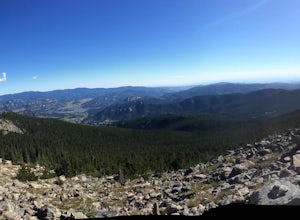
Twin Sisters Peak
5.07.48 mi / 2470 ft gainThe trailhead starts close to 9,000 ft elevation. It continues at a gradual slope through the forest for a long way. The trail does not exit the tree line until close to the top, where there is a boulder field, of sorts (slightly over 11,000 ft). Don't worry, there is a nice trail all the way to ...Read more -
Estes Park, Colorado
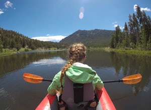
Paddle Lily Lake
Lily Lake allows boating in non-motorized watercraft and is only a short carry from your parking area by 7. Parking can be limited so get there in the morning early so that you can enjoy the morning wildlife and decreased crowds. You can spend an hour or so here kayaking slowly around enjoying th...Read more -
Cascade, Colorado
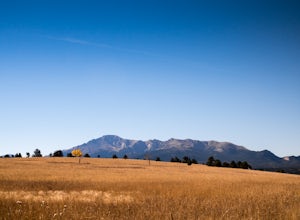
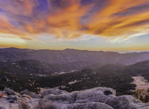
Photograph Rampart Range Road
4.720 miFrom the starting point near Balanced Rock in Garden of the Gods, Rampart Range Road turns to dirt and begins a steady climb into the foothills west of Colorado Springs. Though dirt, the road is well-graded and perfectly suitable for passenger cars in good weather. As the road climbs, you'll trav...Read more -
Silverthorne, Colorado
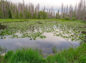
Lily Pad Lake
4.73.27 mi / 531 ft gainLily Pad Lake is a well known destination just outside of Silverthorne and in the Eagle's Nest Wilderness. The trail may be heavily trafficked on the weekends, but solitude can still be found in the early mornings or during the weekdays. The trail starts at the Lily Pad Lake Trailhead, just to t...Read more -
Frisco, Colorado
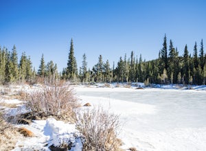
Hike or Snowshoe to Rainbow Lakes
5.03 mi / 250 ft gainYou can do this hike two different ways: 1- Start from the Peaks Trail Trailhead for an out and back hike, distance is a little over 2 miles roundtrip. 2- Start along the Summit County Recreational Trail (as marked on this map), also out and back hike, total distance just over 3 miles, and provid...Read more -
Lyons, Colorado
Hike the Kruger Rock Trail
4 mi / 1000 ft gainCutting through the forested hills surrounding Estes Valley, the Kruger Rock Trail is a well-marked 4 mile loop to the top of Kruger Rock. The trail begins in Hermit Park Open Space, located just a few miles southeast of Estes Park and is a moderate hike with around 1000 feet of elevation gain. C...Read more

