Moffat, Colorado
Top Spots in and near Moffat
-
Mosca, Colorado
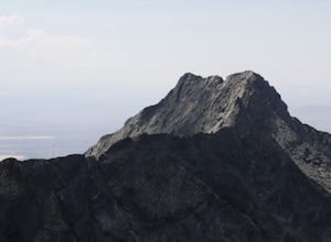
Summit Little Bear Peak
12 mi / 5000 ft gainThis hike starts on Lake Como Road with the goal of eventually reaching Lake Como. If you have a modified 4WD car you can get all the way to the lake in it, but if you do not feel like risking damage to your vehicle park as low as you deem necessary to do that. Most 4WD stock vehicles can make ...Read more -
Lake Como Trailhead, Colorado
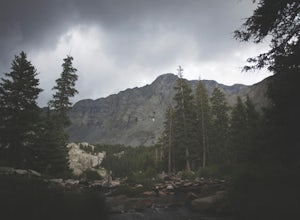
Summit Blanca and Ellingwood Peaks
7 mi / 6800 ft gainBlanca Peak is nestled at the heart (and the top) of a four peak ceiling located at the southern-most tip of Colorado's intimidating Sangre de Christo range. The peak is known for its impeccable 360 degree views, as you can see well over 100 miles in every direction thanks to Colorado's clean, c...Read more -
Salida, Colorado
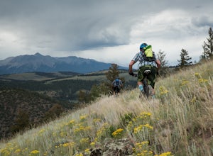
Ride the Monarch Crest Trail
5.0The Monarch Crest Trail has been rated as an IMBA Epic ride and is for sure an epic ride especially ending the ride with the Rainbow Trail. The Monarch Crest Trail is best ridden as a shuttle and begins at the very top of Monarch Pass just outside of Salida or Poncha Springs, Colorado on highway ...Read more -
Salida, Colorado
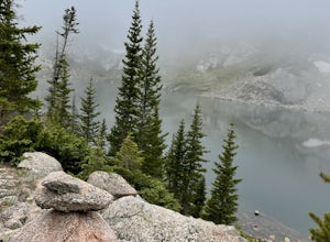
Waterdog Lakes Trail
5.03.2 mi / 1056 ft gainWaterdog Lakes Trail is an out-and-back trail that takes you by a lake located near Salida, Colorado.Read more -
Cañon City, Colorado
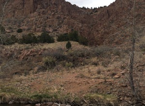
Hike Temple Canyon
5.01 mi / 400 ft gainTake 1st Ave heading south out of Canon City and you'll come to Temple Canyon Road. You'll take 7 miles of dirt road to Temple Canyon Park. It is free to enter and there is a decent campground there where you can camp for free for up to 14 days. The trail begins at Temple Ridge Campground. The tr...Read more -
Salida, Colorado
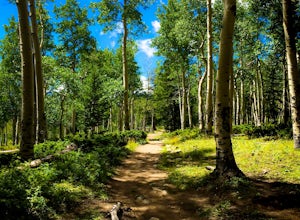
Hike Mount Shavano and Tabeguache Peak
4.09.25 mi / 4600 ft gainStart out on the Shavano and Tabeguache Trailhead off of FR 252 outside of Poncha Springs, at about 9,700 feet, and begin your trek into the forest. In the first half of a mile there are a few trail marker signs that should be read carefully to insure the right path is followed, but these signs ...Read more -
10746-11764 Greenhorn Highway, Colorado
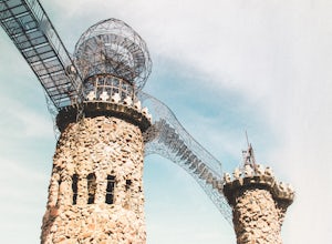
Explore Bishop Castle
4.00.25 mi / 26 ft gainThis adventure is a unique experience, perfect for the off seasons. Park along the highway on CO-165 in Rye, Colorado, cross the street and walk into the largest one man project in the USA. You’ll enter under the grand front gate and follow the path that leads to the castle. There you’ll find mul...Read more -
Cañon City, Colorado
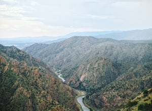
Royal Gorge Bridge
3.53.3 miThe Royal Gorge Bridge and Park is located in Canon City which is about an hour outside Colorado Springs. Once you get there, it's a $26 entrance fee per person. The park is dog and family friendly. You can walk across the bridge, take the gondola, or zip line across. Taking the gondola and of c...Read more -
Cañon City, Colorado
Hike Tunnel Drive
3.8 mi / 521 ft gainThis 3.8 mile out and back trail is a very easy hike but can have moderate to high foot traffic depending on the season and time of day. I recommend doing this hike early in the morning to not only beat the heat, but to beat the other hikers. What I love about this hike is the chance to see the t...Read more -
Cañon City, Colorado
Drive Skyline Drive
5.0Skyline drive is a one way scenic roadway mainly going north to south. The 3 mile drive takes you about 800 feet above Cañon City. It starts on the west side of 50, and ends in a residential neighborhood southwest of where it begins. There are multiple pull offs on the right and left side of the...Read more

