Meredith, Colorado
Looking for the best chillin in Meredith? We've got you covered with the top trails, trips, hiking, backpacking, camping and more around Meredith. The detailed guides, photos, and reviews are all submitted by the Outbound community.
Top Chillin Spots in and near Meredith
-
Frisco, Colorado
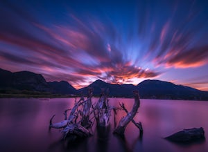
Sunset Shots at Lake Dillon
4.3To get to the southern end of the lake from Denver, head west on 70 until you reach 9. Take 9 for a few miles until you find the spot on the lake where you want to get started. On the south side of Lake Dillon, there was an abundance of old stumps lining the beach, which would occasionally drift ...Read more -
Silverthorne, Colorado
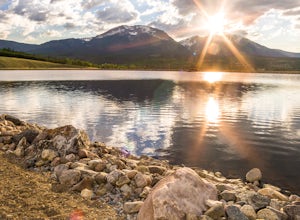
Hike to Old Dillon Reservoir
4.51.7 mi / 137 ft gainToday, Lake Dillon is one of the biggest attractions in the Dillon Valley, attracting boaters, anglers, and campers. However, the large reservoir we know today was not the first one in the area. The Old Dillon Reservoir was built in the 1930s to supply water to the original town of Dillon, which...Read more -
Fairplay, Colorado
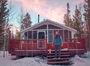
Stay the Night in an Off-Grid Cabin in Fairplay, CO
This will be an amazing experience for anyone that books this cabin, guaranteed. It's the perfect size with a kitchen, living room, bunk beds, and back porch. In addition to the main house there is a tree house that has a couch and a bed in it as well; so the property can host a decent sized grou...Read more -
Buena Vista, Colorado
Backpacking to Kroenke Lake
9 mi / 2750 ft gainStarting at the North Cottonwood trailhead just outside of Buena Vista, Colorado. This hike will take you 4.5 miles to the lake with about 2750 feet of elevation gain. The hike is mostly mellow and you'll likely see hikers heading up to Horn Fork basin to hike Mt. Harvard and Columbia. Campsites ...Read more -
Gunnison County, Colorado
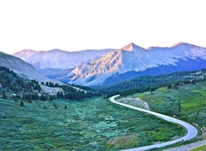
Take in the Views on Cottonwood Pass
4.7Starting in the town of Buena Vista, head west on E Main Street until it turns into State Highway 306. After about 40 minutes of driving and some winding roads the Continental Divide sign welcomes you to a gravel parking lot. You can get out and hike as you please, but the view from the parking l...Read more -
Breckenridge, Colorado
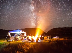
Camp at Boreas Pass
9 mi / 1500 ft gainBoreas pass is a high mountain pass in the Rocky Mountains that sits on the Continental Divide at 11,481'. Forest Service Road 33 goes over the pass and has numerous campsites all along its length, with several near the summit that feature breathtaking views of the Tenmile Range and the Breckenri...Read more -
Gunnison County, Colorado
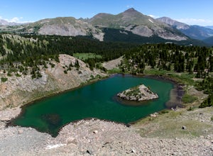
Hike to Lost Lake
4.22.4 mi / 600 ft gainThis Trail starts at about 11,200 feet right before the top of cottonwood pass. The trailhead starts at the LAST pull-off before you reach the top of the pass, so if you reach the top, you've gone too far. The hike isn't a super difficult one, but you will go through numerous streams and flooded ...Read more -
Bond, Colorado
Camp at Radium Campground
This was a rafting/camping trip. We camped at the Radium Campground and rafted 4.5 miles from Pump House Boat Launch. BLM charges $5.00 per vehicle at the boat launch sites and $10.00 per night for camping.Keep an eye out for big horn sheep. I saw them grazing on the side of the colorado river.Yo...Read more -
Gypsum, Colorado
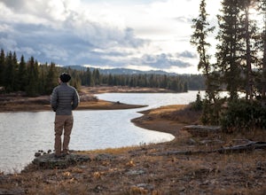
Camp at Heart Lake
Ever wanted to pick a spot on the map and just GO for the weekend? That's exactly how we discovered Heart Lake. Our only recommendation is don't do it in October, when it might snow. A lot.As there's not much to do other than hike around up there, we combined the day with a morning mountain bike ...Read more -
Kremmling, Colorado
Radium Hot Springs
5.0The Parking Area & Trailhead have been updated by the BLM from the previous starting point at Mugrage Campground, which is no longer open. The BLM has also built a relatively short and easy trail from the new parking area to the hot springs. The springs are not too hot, about 80-90 degree F...Read more -
Somerset, Colorado
Camp at Lost Lake Slough
5.0Lost Lake Slough offers camping, hiking, photography, kayaking, and more in a remote and beautiful part of Colorado. At an elevation of over 9,600 ft., the lake typically opens in mid-June after the snow is melted, and closes in October after the first significant snowfall. The campground is on...Read more -
New Castle, Colorado
Snowshoe to Mt. Colorow Overlook
1.5 mi / 1000 ft gainAlthough this hike could be done in a loop, it is also doable in the out-and-back format. I would recommend the out-and-back during winter months when the more eastern loop (beginning around Mustang Dr) is vulnerable to small avalanches.If you want to do this hike in the winter, head on Alder Ave...Read more -
Buena Vista, Colorado
Photograph Cottonwood Lake, CO
0.1 mi / 1 ft gainWherever you are in Colorado, turn your route towards Buena Vista in South West Colorado - you will not be disappointed. To start, Buena Vista is a really cool town with great places to eat and visit. So make sure you check out the city before heading up Cottonwood Pass. When you are ready to hea...Read more -
Dillon, Colorado
Off-Road to Glacier Mountain
5.07.4 mi / 2100 ft gainThe trail begins just past historical Main Street Montezuma. You will see a sign on your right for St. Johns road. This road is officially marked as 275 on a map. The original road lead to St. Johns but not much of the town remains.You will cross the Snake River almost immediately after you turn ...Read more

