Loveland, Colorado
Looking for the best photography in Loveland? We've got you covered with the top trails, trips, hiking, backpacking, camping and more around Loveland. The detailed guides, photos, and reviews are all submitted by the Outbound community.
Top Photography Spots in and near Loveland
-
Estes Park, Colorado
Camp at Aspenglen Campground
5.0Aspenglen is one of the four main campgrounds within the park boundaries. The campground is for car camping and there are areas just for tents and then broader areas for tents and campers. There are 53 sites at this campground and it fills up quickly each year. Reservations are available six mont...Read more -
Estes Park, Colorado
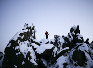
Winter Camp at Moraine Park
5.0For the extra-adventurous (my friends call me crazy for this), I recommend experiencing Rocky Mountain National Park in the off-season, when nobody else is there. Dead winter.Of course, you'll want to be uber prepared if you choose to take on this adventure, as the mountains are very unforgiving,...Read more -
Estes Park, Colorado
Hike Deer Mountain
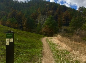
6.03 mi / 1200 ft gainBeginning in Rocky Mountain National Park near the Deer Ridge Junction (where US 34 & US 36 meet), park your car in one of the 20 spots on either side of the road. Start at the trailhead booth and head north, keeping to the right-side trail at the first intersection about a tenth of a mile fr...Read more -
40.387035,-105.610770
Rocky Mountain NP's Trail Ridge Road
4.939.06 miStart by entering Rocky Mountain National Park through Estes Park, Colorado. After acquiring a map start your ascent on Trail Ridge Rd (the road is closed in winter). The Road will take you up in elevation into the mountains so a good car is strongly recommended. As you wind up the switch backs,...Read more -
Livermore, Colorado
Mt. McConnel Summit Trail Loop
4.26 mi / 1453 ft gainThis 4.3-mile round trip hike gains 1300 feet of elevation before reaching the Mt. McConnel summit. The primitive trail is rated as difficult and has an ascent of many switchbacks, leading up to a wild flower-covered summit. The trail winds along the ridge line around 8,000 feet, offering panoram...Read more -
Estes Park, Colorado
Hike along Tombstone Ridge
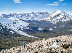
4.3 mi / 3250 ft gainTombstone ridge can be accessed via the ute trail from two directions. The lower trail starts at upper beaver meadows and is ~4.3 miles with 3250 feet of elevation gain. It can also be accessed at the Ute trail crossing along trail ridge road, which leaves you a 1.1 mile hike with just under 300 ...Read more -
Estes Park, Colorado
Sprague Lake Loop
5.00.81 mi / 26 ft gainLocated in Rocky Mountain National Park at an elevation of almost 8,700 feet, Sprague Lake offers visitors great views with very little effort required. It's a short 15 minute drive from Estes Park and hikers can take the short trail around the circumference of the lake. You'll find bathrooms and...Read more -
Estes Park, Colorado
Hike to Cub Lake
5.04.6 mi / 645 ft gainRocky Mountain National Park showcases 355 miles of hiking trails, 6 campgrounds, and hundreds of backcountry camp sites. The cost to enter the park is $20.00 per vehicle, I recommend buying the annual National Parks Pass for $80.00. Cub Lake is an excellent trail for viewing wildlife. There ar...Read more -
Boulder, Colorado
Mount Sanitas Loop & Settlers Park
4.43.83 mi / 1371 ft gainFirst off, these are two different hikes but both stem from the same parking lot and Settlers Park is a mere 5 minutes away from where you park so why not kill two birds with one stone? One of the more popular hikes in Boulder, Mount Sanitas is a 3 mile hike that quickly scales nearly 1,350 feet...Read more -
Boulder, Colorado
Sunshine Lion's Lair Loop
5.05.05 mi / 1257 ft gainThis is a mix of trails that will bring you on an easy loop to the peak of Mt Sanitas, but will keep you away from the usual crowds of the more well-known paths up. The hike is a clear path that brings you 5+ miles from around 5,500 ft in elevation to 6,800. You'll start at the Centennial Trail...Read more -
Lyons, Colorado
Hike Meadow Mountain
4.07.7 mi / 2832 ft gainFrom the trailhead, follow the trail through the woods until you reach a meadow with a steep slope. Some portions of this slope reach an angle of 30 degrees and may feature slight avalanche danger in the winter. However, the trail is used enough that such conditions would make themselves known ...Read more -
Allenspark, Colorado
Hike to Pear Lake
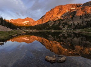
5.013 mi / 2112 ft gainPear lake is a beautiful alpine lake in the southern Wild Basin region of Rocky Mountain National Park. Once used as a reservoir, Pear Lake has been restored to its natural state and lies in scenic basin below some of the most isolated mountains in the park. The trail to Pear Lake passes through ...Read more -
Allenspark, Colorado
Hike to Finch Lake
3.08.96 miThere are several ways to reach finch lake but this will cover the route from the Finch Lake Trailhead in the wild basin area of Rocky Mountain National Park. You can also loop it with other trails in the area or begin at the Allenspark Trailhead, which is technically outside the park and a bit e...Read more -
Estes Park, Colorado
Hike The Mummy Kill (a.k.a. Mummy Mania)
14.31 mi / 5600 ft gainWanna kill some mummies!? Of course you do! Who doesn't? Mount Chapin: 12,454 feet; Mount Chiquita: 13,069 feet; Ypsilon Mountain: 13,514 feet; Fairchild Mountain: 13,502 feet; Hagues Peak: 13,560 feet; Mummy Mountain: 13,425 feet The Mummy Kill is the perfect all-day hike for those seasoned h...Read more -
Allenspark, Colorado
Ouzel & Ogallala Peaks
17.18 mi / 4403 ft gainBegin at the Wild Basin Trailhead in southeastern Rocky Mountain National Park near the town of Allenspark. Plan to start before sunrise if attempting this trek as a day trip in order to avoid afternoon thunderstorms above the treeline. This trip can easily be made into a backpacking experience b...Read more -
Estes Park, Colorado
Drive Old Fall River Road
4.6This amazing drive starts after entering at the Fall River Entrance of Rocky Mountain National Park (although any entrance will work this is just the fastest route). Follow Fall River Road just past Sheep Lakes and take your first right onto Endo Valley Rd. From here travel to the Endovalley picn...Read more

