Loveland, Colorado
Looking for the best hiking in Loveland? We've got you covered with the top trails, trips, hiking, backpacking, camping and more around Loveland. The detailed guides, photos, and reviews are all submitted by the Outbound community.
Top Hiking Spots in and near Loveland
-
Ward, Colorado
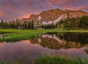
Shoshoni Peak
5.010.61 mi / 2470 ft gainHike one of the most scenic 12ers in Colorado's front range, Shoshoni Peak, with an elevation of 12,967 feet. You can easily combine a summit of Pawnee Peak for wonderful views of multiple alpine cirques. Enjoy wonderful views of the Long Lake Valley, Isabelle Glacier, and Pawnee Pass regions. Fo...Read more -
Ward, Colorado
Climb Apache Peak
10 mi / 3280 ft gainStart at the Long Lake Trailhead ($10 parking fee) and head up the trail towards Isabell Lake. You'll pass both Long Lake and Isabelle lake, with spectacular views at both. At Lake Isabelle, be sure to continue straight on the trail, further up the valley, not the right turn up to Pawnee Pass.Con...Read more -
Ward, Colorado
Pawnee & Buchanan Pass Loop
5.026.98 mi / 6978 ft gainBefore you start your trip, get a camping permit from the Boulder Ranger Station. Plan to spend your first night in the Crater Lake BZ (Backcountry Zone), and your second in Buchanan BZ. If you're feeling particularly sedate, you can easily spend a third night in Coney Creek. Start early in the ...Read more -
Ward, Colorado
Pawnee Pass and Pawnee Peak
5.09.95 mi / 2490 ft gainStart at the Long Lake trailhead in the Brainard Lake Recreation area (there's a fee to park, if you don't have a pass). Take the trail towards Lake Isabelle for a few miles, winding through forest and past Long Lake. Signage towards Lake Isabelle and Pawnee Pass is apparent. Just as you reach ...Read more -
Ward, Colorado
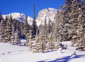
Snowshoe or Ski Lake Isabelle
10 miSpeechless. That’s how this hike will leave you. And not just because of its length. At over 10 miles, this snowshoe exploration is not for the faint of heart. But the language-defying beauty of this hike will make every sore muscle worth it.The Brainard Lake Recreational Area near Ward, Colorado...Read more -
Ward, Colorado
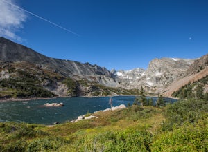
Lake Isabelle via Long Lake Trailhead
4.54.09 mi / 374 ft gainStart at the Pawnee Pass Trail No. 907 Trailhead. Long Lake is about 2 tenths of a mile and Lake Isabelle is 2 miles from the trailhead. Keep an eye out for moose grazing in the bushes or in the water near Long Lake. This is a 4 mile out and back hike with well marked trails. For an 8.75 mile hi...Read more -
Ward, Colorado
Isabelle Glacier
5.08.62 mi / 1578 ft gainGetting There The trailhead can be reached from Boulder by driving west through Boulder Canyon on Highway 42 to Nederland, then going north on the Peak-to-Peak Highway 72 to the town of Ward. From there, a National Forest Sign on the west side of the highway provides directions to the ranger stat...Read more -
Estes Park, Colorado
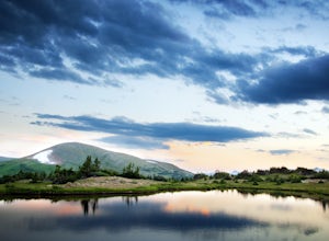
Catch a Sunset Above Milner Pass
This is a great place to be at sunrise or sunset. Bring a camera & tripod and check the weather ahead of time.Take Trail Ridge Road all the way to the top and park at the Alpine Visitor Center. There's a great view from here, but if you're interested in photography I recommend taking the tr...Read more -
Nederland, Colorado
Snowshoe or Cross-Country Ski at Caribou Ranch
4.54.2 mi / 750 ft gainThe Caribou Ranch Open Space is about two miles north of the town of Nederland. From Nederland, at the town’s roundabout, head west on CO 72 for about two miles. Turn left onto CO 126 at the sign for Caribou Ranch Open Space. Follow the dirt road for about .8 miles until you see the large parking...Read more -
Nederland, Colorado
Drive the Peak to Peak Highway
4.555 mi / 705 ft gainThe Peak to Peak Highway is a 55-mile stretch of road that winds its way from Nederland to Estes Park (or Estes Park to Nederland). This road connects to many points of exploration, Indian Peaks Wilderness Area and Rocky Mountain National Park to name a couple, but the drive itself is an adventur...Read more -
Wellington, Colorado
Climb Table Mountain in the Red Mountain Open Space
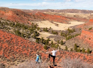
4.05 mi / 1200 ft gainTable Mountain sits smack dab in the middle of Red Mountain Open Space, an area known to geologists (and settlers) as "The Big Hole", a singular and unique landform that peaks into the "basement" rocks that underly northern Colorado and Southeastern Wyoming. Soapstone cliffs and bright red Dakota...Read more -
Estes Park, Colorado
Mt. Ida via Milner Pass
5.09.28 mi / 2112 ft gainThe hike to Mt. Ida offers some of the most stunning views of Rocky Mountain National Park. How to get there: From the east, take Trail Ridge Road all the way to the west side of the park. You will pass Alpine Visitor Center and the road sharply turns south at Medicine Bow Curve. The trailhead...Read more -
Estes Park, Colorado
Backpack Alpine Terrain to Haynach Lakes
17 miBegin at the Milner Pass Trailhead off of Trail Ridge Road in Rocky Mountain National Park. Commonly used to summit Mount Ida, this trailhead is often popular with summer hikers. The trail climbs steeply through the trees before revealing open slopes of tundra and fantastic panoramic views. Altho...Read more -
Red Feather Lakes, Colorado
Camp near Lost Lake (in the Red Feather Lakes area)
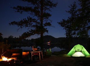
I need to start by saying I stayed here on Memorial Day weekend, a very busy camping weekend in Colorado. Online searches for a suitable campsite were useless, everything was booked. It is hard to drive 2 plus hours to an area and hope you find a place for dispersed camping. Thankfully a friend t...Read more -
Wellington, Colorado
Hike the Bent Rock Trail at Red Mountain Open Space
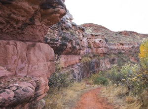
2.6 mi / 200 ft gainTo get to Red Mountain Open Space from Fort Collins, take Highway 287 to Highway 1. Follow Highway 1 until you see County Road 15, get off there. This is where it gets confusing, so hang on. You will follow CR15 for a few miles until CR78, take a left onto CR78. Then take a right on CR17, then a ...Read more -
Wellington, Colorado
Hike the K-Lynn Cameron Trail in the Red Mountain Open Space
5.4 mi / 800 ft gainThe K-Lynn Trail is a 2.4 mile loop trail that goes west off of the Ruby Wash Trail on the western side of the Red Mountain Open Space. To get there, take the Bent Rock Trail from the Red Mountain Open Space parking lot where the Red Canyon / Antelope Valley road dead-ends.Once on the Bent Rock T...Read more

