Louisville, Colorado
Looking for the best photography in Louisville? We've got you covered with the top trails, trips, hiking, backpacking, camping and more around Louisville. The detailed guides, photos, and reviews are all submitted by the Outbound community.
Top Photography Spots in and near Louisville
-
Idaho Springs, Colorado
Hiking James Peak (13,294')
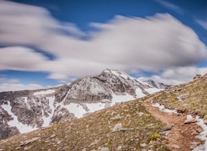
8.3 mi / 3000 ft gainJames Peak is one of 76 13,000'+ peaks in Colorado's front range. On your way up to the peak you will pass St. Mary's Glacier. It is not an actual glacier yet a permeant snow field that is popular among skiers and snowboarders year round. St. Mary's Glaicer is a very popular destination (though m...Read more -
Littleton, Colorado
Hike or Bike Hildebrand Ranch
4.05.1 mi / 324 ft gainHildebrand Ranch Park is often overshadowed by the other nearby Jeffco Parks, but for the few that it does attract the trails do not disappoint. The Two Brands Trail starts at about 5600ft just off of Deer Creek Canyon Rd. It is a relatively flat trail that tops out at about 5821ft making it a...Read more -
Nederland, Colorado
Hike Rollins Pass to Devils Thumb
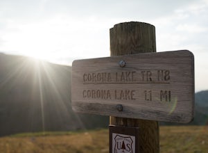
2.1 mi / 622 ft gainCorona Lake is an easy, short hike if you're pressed for time. It's scenic, secluded, and will put you in a great spot to hike to Devils Thumb the next day. There are two ways to reach Devils Thumb. This is considered the "easier" route because of the "lack of elevation gain." The sun and wind re...Read more -
Evergreen, Colorado
Maxwell Falls
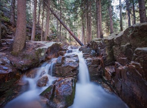
3.43.95 mi / 928 ft gainLocated just outside of Evergreen, this beginner hike is a great escape from the city for a few hours. There are three different options to hike to the falls: Maxwell Falls Lower Trail (4 miles), Upper Maxwell Falls Trail (1.1 miles), and Maxwell Falls Bluffs Cliffside Trail Loop (5 miles). On th...Read more -
Loveland, Colorado
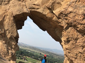
Hike the Devil's Backbone in Colorado
4.32.5 miThe Devils Backbone Open Space offers great hiking in the Front Range foothills. The main feature is the rock formation running along the western boundary of the park, but the open space also supports a large wildlife and plant population. Here, you'll find great opportunities for year-round hiki...Read more -
Idaho Springs, Colorado
Explore 'The Hidden Gems' of Loch Lomond
5.04.6 mi / 950 ft gainGetting There From Denver, go W on I-70 and take exit 238 for Fall River Rd. Continue on this road before taking a left on Alice Rd. Continue on Alice Rd. until you see the right hand turn for Steuart Rd. This is where you park. Do not attempt this road in a AWD or 2WD you definitely need a good ...Read more -
Idaho Springs, Colorado
Hike to Loch Lomond
5.04.6 mi / 948 ft gainWhen you start the hike to Loch Lomond, you'll have a few options for parking. The further up the road you go the trickier it's going to be to get back out. I parked at the bottom of the road and hiked my way up. The first mile or two is mostly elevation gain and to be quite honest I thought I wa...Read more -
Littleton, Colorado
Hike the Meadowlark Plymouth Trail
4.06 mi / 1197 ft gainFrom the parking lot, you can take the Meadowlark trail to the west or the Plymouth Creek Trail to the southeast. It does not matter which trail you take because it ends up becoming loop. For a more gradual slope up the hill, take the Meadowlark trail. After a little more than a mile, it intersec...Read more -
1398 Longs Peak Road, Colorado
Storm Peak and Mount Lady Washington
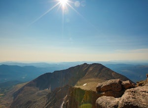
4.512.57 mi / 5312 ft gainThis adventure began at the Longs Peak trailhead in southeastern Rocky Mountain National Park, Colorado. I followed the Longs Peak trail for 6 miles to the Boulderfield backcountry camping area. This is a fairly steep on-trail climb of 3,360 feet. After setting up camp at 12,760 feet, my partner...Read more -
Estes Park, Colorado
Longs Peak
5.013.3 mi / 5100 ft gainFor the most part, this hike is very straightforward, so I'll essentially skip over the first 5.5 or so miles of the hike, but, in case you don't know: Start (very early so you get a parking spot) from the trailhead right next to the parking lot (the road to it is paved - seriously this mountain...Read more -
Estes Park, Colorado
Peacock Pool
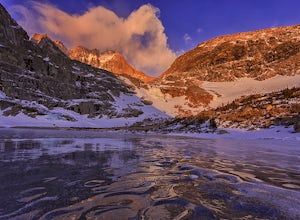
7.9 mi / 2438 ft gainThe peacock pool is a cool little tarn below the outlet to Chasm Lake. Please note that this adventure is best done in the winter/spring when snow is present to prevent erosion in the sensitive area. That is how the description will be written, assuming winter conditions. The approach is the sa...Read more -
Estes Park, Colorado
Boulderfield Campground via Longs Peak Trail
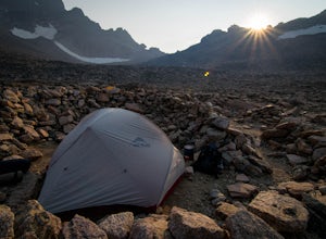
11.39 mi / 3337 ft gainBoulder Field is a high alpine backcountry site on Longs Peak, and is a popular camp for backpackers attempting to summit Longs Peak via the Keyhole route. At an impressive elevation of 12,760 feet, Boulder Field is a vast wasteland of rocks that sits 500 feet below the famous Keyhole feature, an...Read more -
Estes Park, Colorado
Chasm Lake via Longs Peak Trailhead
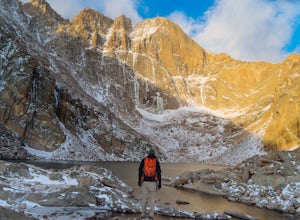
4.78.01 mi / 2425 ft gainThe 4-mile trail climbs around 2500ft from the Longs Peak trailhead and starts by winding through dense forest. In the morning darkness, trudging through thick trees isn’t the most exciting, but when you finally climb out above treeline, the massive profile of Longs and the slowly growing light o...Read more -
Idaho Springs, Colorado
Camp and Fish at Loch Lomond
5.0The trail to Loch Lomond is very rocky. I suggest a high clearance 4x4 vehicle (I did see a small SUV and a Subaru..Not sure how they did it!!!). There are a few campsites at the lake and several along the way. I set up camp by the lake but had to move because the wind was so intense. I recommend...Read more -
Lyons, Colorado
Hike the Kruger Rock Trail
4 mi / 1000 ft gainCutting through the forested hills surrounding Estes Valley, the Kruger Rock Trail is a well-marked 4 mile loop to the top of Kruger Rock. The trail begins in Hermit Park Open Space, located just a few miles southeast of Estes Park and is a moderate hike with around 1000 feet of elevation gain. C...Read more -
Estes Park, Colorado
Twin Sisters Peak
5.07.48 mi / 2470 ft gainThe trailhead starts close to 9,000 ft elevation. It continues at a gradual slope through the forest for a long way. The trail does not exit the tree line until close to the top, where there is a boulder field, of sorts (slightly over 11,000 ft). Don't worry, there is a nice trail all the way to ...Read more

