Longmont, Colorado
Looking for the best hiking in Longmont? We've got you covered with the top trails, trips, hiking, backpacking, camping and more around Longmont. The detailed guides, photos, and reviews are all submitted by the Outbound community.
Top Hiking Spots in and near Longmont
-
Loveland, Colorado
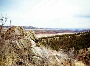
Hike the Powerline Trail in the Bobcat Ridge Natural Area
3.8 mi / 1100 ft gainPowerline Trail is a 1.9 mile spur off the Valley Loop Trail in the Bobcat Ridge Natural Area that climbs 1,100 feet from the valley floor to Mahoney Park.To get to the start of the trail, take the Valley Loop Trail .9 miles in the Bobcat Ridge Natural Area from the main entrance of the Natural A...Read more -
Lyons, Colorado
Hike Meadow Mountain
4.07.7 mi / 2832 ft gainFrom the trailhead, follow the trail through the woods until you reach a meadow with a steep slope. Some portions of this slope reach an angle of 30 degrees and may feature slight avalanche danger in the winter. However, the trail is used enough that such conditions would make themselves known ...Read more -
Lyons, Colorado
Hike the Kruger Rock Trail
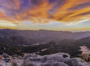
4 mi / 1000 ft gainCutting through the forested hills surrounding Estes Valley, the Kruger Rock Trail is a well-marked 4 mile loop to the top of Kruger Rock. The trail begins in Hermit Park Open Space, located just a few miles southeast of Estes Park and is a moderate hike with around 1000 feet of elevation gain. C...Read more -
Allenspark, Colorado
Sandbeach Lake Trail
4.08.56 mi / 2057 ft gainSandbeach Lake is best known for (as you can probably guess) its wide sandy shore. At nearly 50 feet deep, it is one of Rocky Mountain National Parks deepest lakes. If you are looking to fish at the lake, make sure to bring barbless flies and lures. There are six official campsites (1.8 miles Hol...Read more -
Ward, Colorado
Snowshoe Long Lake
8 mi / 200 ft gainA long but extremely scenic hike tucked in Colorado's Indian Peaks wilderness. The entire Long Lake trail says 2.3 mile but due to winter conditions and snow pack you can really only make it the east edge of the lake. Exit Long lake loop back on to Brainard Lake Road (currently under construction...Read more -
Ward, Colorado
Snowshoe Mount Audubon
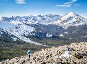
13.9 mi / 2715 ft gainWant to start snowshoeing peaks?! Of course you do! If you don't already have snowshoes, you can rent a pair at your local REI (the one in Boulder, CO is closest to this hike). Check the snow conditions and if there is a fair amount of snow, I would recommend renting the larger of the two kinds o...Read more -
Ward, Colorado
Explore Red Rock Lake, CO
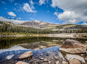
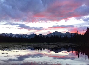
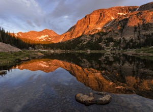
3.0If you are looking for great reflections, color and mountain peaks for your photos, this lake is a great place to start. The Brainard Lake Recreational Area has so much to do, but this is a stop not to miss.It seems that everyone drives on by this little gem to get to Brainard Lake and the hiking...Read more -
1046 County Highway 115, Colorado
Winter Hike to Calypso Cascades
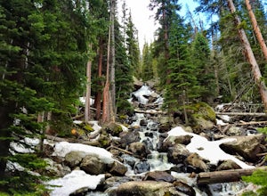
6.25 mi / 580 ft gainWhile most people go snowshoeing near the Bear Lake or Glacier Gorge area in RMNP, Wild Basin is a much less trafficked option. The entrance station isn't manned in the winter, so you'll get in for free, as well! You can put the Wild Basin Trailhead into your GPS, but you'll have to park at the w...Read more -
Allenspark, Colorado
Hike to Pear Lake
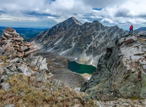
5.013 mi / 2112 ft gainPear lake is a beautiful alpine lake in the southern Wild Basin region of Rocky Mountain National Park. Once used as a reservoir, Pear Lake has been restored to its natural state and lies in scenic basin below some of the most isolated mountains in the park. The trail to Pear Lake passes through ...Read more -
Allenspark, Colorado
Hike to Finch Lake
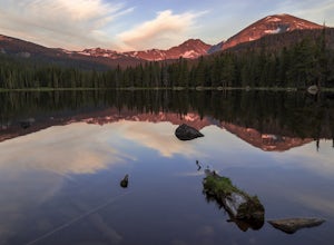
3.08.96 miThere are several ways to reach finch lake but this will cover the route from the Finch Lake Trailhead in the wild basin area of Rocky Mountain National Park. You can also loop it with other trails in the area or begin at the Allenspark Trailhead, which is technically outside the park and a bit e...Read more -
Allenspark, Colorado
Ouzel & Ogallala Peaks
17.18 mi / 4403 ft gainBegin at the Wild Basin Trailhead in southeastern Rocky Mountain National Park near the town of Allenspark. Plan to start before sunrise if attempting this trek as a day trip in order to avoid afternoon thunderstorms above the treeline. This trip can easily be made into a backpacking experience b...Read more -
Allenspark, Colorado
Hike to Ouzel Falls
4.05.22 mi / 870 ft gainLocated right outside of Rocky Mountain National Park, this hike is perfect for anyone looking to do a little exploring without the cost of a park fee. The drive through the Rocky Mountains to the trailhead is an added bonus. This hike is great because it has multiple attractions all along the wa...Read more -
Allenspark, Colorado
Backpack to Bluebird Lake
4.314 mi / 2500 ft gainStarting at the Wild Basin trailhead on the south side of Rocky Mountain National Park, hike through a wet forest towards upper and lower Copeland Falls, located 0.45 miles from the trailhead. From here, continue on the main trail along the North Fork of the Saint Vrain River to Calypso Cascades,...Read more -
Allenspark, Colorado
Hike to Thunder Lake
12 mi / 2275 ft gainStarting at the often-busy Wild Basin TH, the trail passes through dense forests as it follows the North Fork of the Saint Vrain River through the southernmost section of Rocky Mountain National Park. The trail passes alongside the small Copeland Falls before continuing west towards Calypso Casca...Read more -
Estes Park, Colorado
Twin Sisters Peak
5.07.48 mi / 2470 ft gainThe trailhead starts close to 9,000 ft elevation. It continues at a gradual slope through the forest for a long way. The trail does not exit the tree line until close to the top, where there is a boulder field, of sorts (slightly over 11,000 ft). Don't worry, there is a nice trail all the way to ...Read more -
Estes Park, Colorado
Estes Cone
4.08.22 mi / 2275 ft gainThe trail begins on the left on a park service road before reaching a junction with the Storm Pass Trail just past .2 miles. Follow the trail as it enters the forest and continue past the private property signs and over a footbridge. Past the bridge the trail climbs more steadily for just under 2...Read more

