Littleton, Colorado
Top Spots in and near Littleton
-
Longmont, Colorado
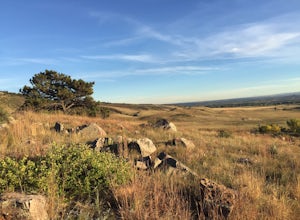
Hike or Trail Run on Rabbit Mountain, CO
4.03.95 mi / 472 ft gainThis is a great hike/trail run in Boulder County. It is located between Longmont and Lyons and is part of Boulder County Open Space. Rabbit Mountain has over 5 miles of trails and 2,733 acres of beautiful open space. The views are incredible as most of your hike you are looking out at the entire ...Read more -
Dillon, Colorado
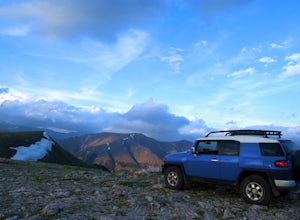
Off-Road to Glacier Mountain
5.07.4 mi / 2100 ft gainThe trail begins just past historical Main Street Montezuma. You will see a sign on your right for St. Johns road. This road is officially marked as 275 on a map. The original road lead to St. Johns but not much of the town remains.You will cross the Snake River almost immediately after you turn ...Read more -
Parshall, Colorado
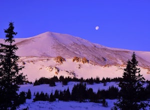
Ski or Snowshoe Jones Pass
4.06 mi / 1600 ft gainIts sister trail, Butler Gulch, is an all-time favorite hike (both summer and winter), and since they share a trailhead, I knew Jones Pass would be special as well.Jones Pass is not the type of trail I normally take, since it is actually a 4x4 road that is used for Jeeping in the summer and snowm...Read more -
Lyons, Colorado
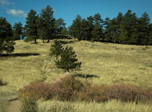
Sleepy Lion Trail
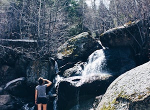
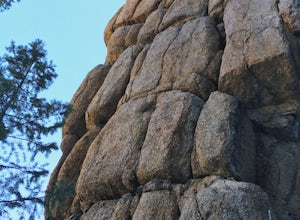
4.7 mi / 712 ft gainThe trailhead is about eight tenths of a mile from the parking area. You pass some sport climbs, a man made waterfall, and some large boulders in the North St. Vrain Creek.The trailhead is clearly marked on the left. There is some elevation gain at the beginning but nothing difficult. Once the el...Read more -
Dillon, Colorado
Hiking Mount Sniktau
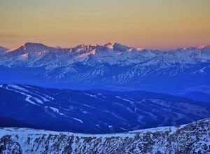
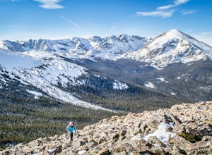
5.04 miMount Sniktau is a great beginner 13er. This hike offers a fun ridge walk with amazing views! Make sure you come prepared, the wind can be pretty relentless. Parking is limited so make sure you arrive early.This hike will get your blood pumping from the moment you exit your vehicle. You will cli...Read more -
Dillon, Colorado
Hike Grizzly Peak at Loveland Pass
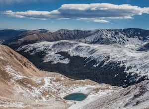
5.06 mi / 2900 ft gainWhile a typical Colorado hike may be an ascent to your destination followed by a descent back to your car, the hike to Grizzly Peak at Loveland Pass (Grizzly Peak "D") breaks that mold. At 13,427 feet, Grizzly Peak stands in the path to Torreys Peak’s west face (14,267’). Even though it is only ~...Read more -
Loveland Pass, Colorado
Photograph the Milky Way at Loveland Pass
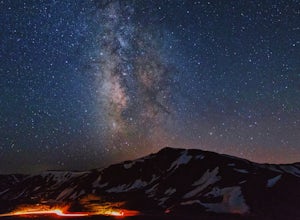
Loveland Pass is often very busy during the winter as people move through the pass to access the nearby ski areas and just as popular for tourists admiring the beauty of the continental divide in the summer. It is also the start of some great hiking trails like the Mount Sniktau Trail. However, ...Read more -
Parshall, Colorado
Butler Gulch
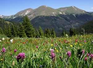
4.55.26 mi / 2008 ft gainButler Gulch is a pristinely beautiful day hike in the heart of the Arapaho National Forest near Idaho Springs, Colorado. Easily accessible from Denver, Butler Gulch is full of jaw-dropping views in all seasons, and anyone in good health can enjoy this gem. The hike is five miles long and rated ...Read more -
Parshall, Colorado
Snowshoe Butler Gulch
5 mi / 1500 ft gainIn fall, winter and spring, the trail is covered in snow, which makes it ideal for backcountry skiing and snowshoeing. The trail becomes indistinguishable after the first mile or two, but usually you can follow previous skiers' tracks up the mountainside.What you miss in wildflowers or mine sight...Read more -
Parshall, Colorado
Camp at Jones Pass
4.5To locate these campsites all you have to do is type in Jones Pass Road into google maps or your iPhone and it will take you straight there. There are road signs once you get off I-70 that will help you the rest of the way that say Jones Pass. Once you hit the dirt road and pass the Jones Pass Tr...Read more -
Colorado Springs, Colorado
Hike to Blodgett Peak
3.04.5 mi / 2325 ft gainGetting There Google Maps + "Blodgett Peak Open Space"= Easy Peasy. The parking lot only accommodates 11 cars with a one of those reserved for handicap. A port-a-potty is the only facility available at the trail head, so plan accordingly. The Hike Starting out at about 7,000 feet the first mile ...Read more -
Lyons, Colorado
Backpack to Red Deer Lake, CO
4.06.4 mi / 1900 ft gainThis is an excellent place to take your family backpacking. It is a fairly easy trail and definitely a great one for kids. Take in the beautiful scenery while hiking through meadows, aspen and pine with incredible mountain views in the Indian Peaks Wilderness. 6.4 miles to Red Deer Lake with an e...Read more -
Green Mountain Falls, Colorado
Hike Crystal Falls Trail to Crystal Creek Reservoir
5.25 mi / 1750 ft gainThe Basics: The little town of Green Mountain Falls often gets overlooked as motorists speed up Highway 24 to Woodland Park and beyond. However, big hiking opportunities abound here. The town probably has as many miles of hiking trails as it has miles of paved roads! Being on the base of Pikes Pe...Read more -
El Paso County, Colorado
Hike to the top of Castle Rock
5.02 mi / 800 ft gainThe Basics: If you've never been to Green Mountain Falls, you're missing out! This tiny mountain hamlet, just off Hwy 24 before Woodland Park, hosts a vibrant collection of local shops and eateries around its community lake. It is also home to many lesser-known hiking trails, including the H.B. W...Read more -
Lyons, Colorado
Hike Meadow Mountain
4.07.7 mi / 2832 ft gainFrom the trailhead, follow the trail through the woods until you reach a meadow with a steep slope. Some portions of this slope reach an angle of 30 degrees and may feature slight avalanche danger in the winter. However, the trail is used enough that such conditions would make themselves known ...Read more -
Lyons, Colorado
Camp at Coulson Gulch
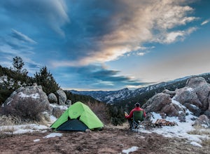
4.09 miCoulson Gulch is a lightly used area of the Roosevelt National Forest which makes it perfect for a weekend getaway without the crowds. This is a great place to camp out under the stars!To get to Coulson Gulch From Lyons, head west on U.S. Highway 36 for about 9 miles. Turn southwest onto Larimer ...Read more

