Lakewood, Colorado
Looking for the best photography in Lakewood? We've got you covered with the top trails, trips, hiking, backpacking, camping and more around Lakewood. The detailed guides, photos, and reviews are all submitted by the Outbound community.
Top Photography Spots in and near Lakewood
-
Littleton, Colorado
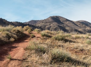
Hike the Meadowlark Plymouth Trail
4.06 mi / 1197 ft gainFrom the parking lot, you can take the Meadowlark trail to the west or the Plymouth Creek Trail to the southeast. It does not matter which trail you take because it ends up becoming loop. For a more gradual slope up the hill, take the Meadowlark trail. After a little more than a mile, it intersec...Read more -
Golden, Colorado
Capture the Mountains Leaving Denver
5.0After shooting a friend's wedding, I was on my way home when I noticed the sky start to light up to the west. I parked the car and ran down the road. The spot is well known for how perfectly the overpass frames the mountains as drivers leave the Denver area.The total exposure time was just over 2...Read more -
Denver, Colorado
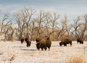
Photograph Bison at the Rocky Mountain National Arsenal Wildlife Refuge
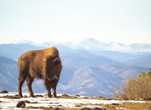
5.09 miBison are the largest and heaviest land animals in North America. They are a symbol of a wild and free landscape. Despite their size these big beasts are extremely agile. They can run up to 35 miles per hour and jump 6ft high from a stand still. Very few animals pose a threat to a healthy, fully ...Read more -
Golden, Colorado
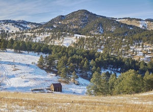
Hike the Sawmill to Maverick Loop
4.32 mi / 450 ft gainFor this adventure, you'll be completing the Sawmill to Maverick loop. It is a short, but gentle trail that will take you through open meadows, to pine forests, and great views of Denver and Golden.Starting from the west parking area, cross the road and hit the Sawmill Trail. This trail starts ou...Read more -
Littleton, Colorado
Winter Hiking and Wildlife in Waterton Canyon
3.712.4 miWaterton Canyon is the beginning of the Colorado Trail which stretches 500 miles from Denver to Durango. Camping is allowed on the Colorado Trail but is not allowed in the first 6 miles section of Waterton Canyon, which is managed by Denver Water. The gravel road is great for running, biking, hi...Read more -
Evergreen, Colorado
Evergreen Mountain Loop
4.75.89 mi / 0 ft gainThe way up Evergreen Mountain is actually a few different trails stitched together throughout Alderfer/Three Sisters Park. The trail connects to both parking lots in the park, so if one is full you can just start from the other one, giving you lots of options for a quick day-hike. If you start ...Read more -
Lone Tree, Colorado
Hike Bluffs Regional Park Trail
2.7 mi / 200 ft gainThis loop trail is 2.7 miles long but has several options for overlooks that add 0.8 miles to the trip. This is an easy hike with minimal elevation gain and is a great option for the whole family. Every time I've done this hike I've seen numerous deer which only adds to the hike!Read more -
Golden, Colorado
Hike the Elk Range Trail
2.5This is an incredible and beautiful hike that is just off of Route 6 but feels a million miles away. Drive up Douglas Mountain Road for the west park access (and I do mean UP - it's a quick elevation gain), and you'll run right into the Centennial Cone Park entrance. There is a bathroom and a dec...Read more -
Evergreen, Colorado
Maxwell Falls
3.43.95 mi / 928 ft gainLocated just outside of Evergreen, this beginner hike is a great escape from the city for a few hours. There are three different options to hike to the falls: Maxwell Falls Lower Trail (4 miles), Upper Maxwell Falls Trail (1.1 miles), and Maxwell Falls Bluffs Cliffside Trail Loop (5 miles). On th...Read more -
Golden, Colorado
Hike the Mountain Lion Trail
6.7 mi / 1230 ft gainThere are three parking lots with direct access to the Mountain Lion Trail. The main one is off of Crawford Gulch Road, but any of them are good starting points! This loop has pretty similar elevation gain and loss profiles no matter which way you go, so you can go any direction. This adventure ...Read more -
Golden, Colorado
Hike Racoon Trail to Panorama Point
4.03.3 mi / 750 ft gainSummer is a magical time of year in the Rocky Mountains. One great way to experience this stunning beauty is through hiking Raccoon Trail to Panorama Point at Golden Gate State Park. Raccoon Trail is 3.3 mile moderately difficult hike which can be completed in under an hour, although it will like...Read more -
Evergreen, Colorado
Private and Tranquil Retreat at Beaver Brook Watershed
4.0Note: This is NOT the Beaver Brook Trail in Genesee Park/Lookout Mountain! If you enjoy the scenery and ambiance of Evergreen, but Evergreen Lake has become too crowded for your tastes, Beaver Brook Watershed (owned by the City of Golden) is an excellent alternative. It’s a small, secluded area a...Read more -
Castle Pines, Colorado
Explore Daniel's Park
Daniel's Park is a small park in Douglas County that offers unparalleled views of the front range. There is a small walking trail that follows the road if you choose to go on foot, or you can stay in the car and drive the length of Daniel's Park Road. There is a bison herd that calls Daniels Park...Read more -
Golden, Colorado
Hike to Forgotten Valley
4.33.6 mi / 852 ft gainThere are over 35 miles of hiking trails in the park. The twelve trails in Golden Gate Canyon State Park are named after an animal and marked with the animal’s footprint.For a 2.6 round trip hike, start at the Burro Trailhead in Golden Gate Canyon State Park. You’ll immediately cross over a lit...Read more -
Littleton, Colorado
Hike the Eagle's View Trail
4.34.3 mi / 900 ft gainReynolds Park is part of the Jefferson County Open Space system. Located a few miles south of Conifer, off Hwy 285 on S. Foxton Road, it is a foothills park geared for families, groups, and the casual hiker. The network of trails on the west side of the road offers hikers and equestrians anything...Read more -
Boulder, Colorado
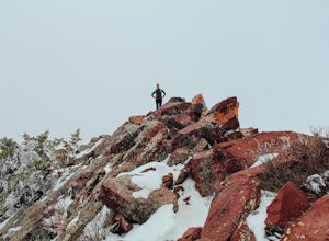
Hike Bear Peak
4.87 mi / 2810 ft gainThe best advice I can give you? Wake up early to start this hike.Even though the Bear Peak hike will only take you about 4-5 hours round trip, it will still be advantageous to get off the mountain before afternoon and evening storms might pass through. This is a steep 7-mile out and back trail.St...Read more

