Hesperus, Colorado
Looking for the best hiking in Hesperus? We've got you covered with the top trails, trips, hiking, backpacking, camping and more around Hesperus. The detailed guides, photos, and reviews are all submitted by the Outbound community.
Top Hiking Spots in and near Hesperus
-
Cortez, Colorado
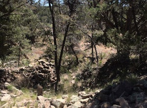
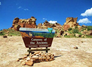
Explore Sand Canyon Pueblo
0.8 miThe Sand Canyon Pueblo marks the northern point of the Canyon of the Ancients National Monument, and connects south to the start of the Canyon of the Ancients Trail off Road G. The hike from the parking lot nearest to the pueblo is only 0.8 miles, and is reached on Road N, west of Cortez, Colorad...Read more -
Ophir, Colorado
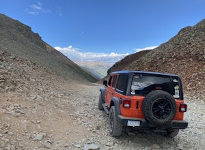
Ophir Pass Road
5.09.93 mi / 1696 ft gainOphir Pass Road is a point-to-point trail where you may see beautiful wildflowers located near Ophir, Colorado.Read more -
Placerville, Colorado
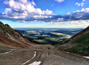
Hike Wilson Peak aka Coors Peak
4.0The mountain peak that turns blue when Coors and Coors Light bottles and cans are ice cold is real. No, it is not called Coors Peak. But it is in Colorado, where Coors was born. The snow-capped mountain in the Coors logo is really Wilson Peak near Telluride, Colorado.If you want to crack a Coo...Read more -
Telluride, Colorado
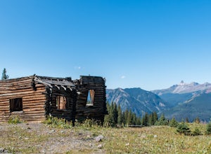
Explore Alta Ghost Town
5.00.5 miAlta Ghost Town is located about 10 miles from Telluride on Alta Lakes Road. Take the rugged dirt road approximately 2 miles until the ghost town appears on the left. Hike up the short trail to view the remnants of the old mining town with many of the buildings still standing, including the impre...Read more -
Cortez, Colorado
Hike Sand Canyon in Canyons of the Ancients
5.013 mi / 1390 ft gainThe Sand Canyon trail in Canyons of the Ancients has two trailheads. The lower trailhead (off of County Road G) begins at 5,472-ft., while the upper trailhead (off of Country Road N) begins at 6,862-ft. If you are doing the 13 mile out-and-back hike as I did, begin at the lower trailhead and work...Read more -
Telluride, Colorado
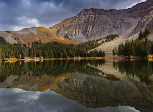
Alta Lakes Dispersed Camping
4.7Note: Camping is permitted around the lake. There are approximately 20 undeveloped campsites. For more information, head to the US Forest Service website. Camping Facilities20 campsites that are completely undevelopedCamping is permitted at only the designated campsitesPortable toilets are avail...Read more -
Telluride, Colorado
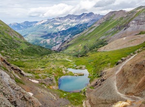
Drive Black Bear Pass & the Ingram Basin
5.012 mi / 3000 ft gainBlack Bear Pass (el. 12,840’), officially known as Forest Service Road 648, is an infamous 4WD road that runs between U.S. Highway 550 (between Silverton & Ouray) and Telluride, CO. From the pass downhill through the Ingram Basin to Telluride, the road is one-way and features switchbacks and ...Read more

