Green Mountain Falls, Colorado
Looking for the best photography in Green Mountain Falls? We've got you covered with the top trails, trips, hiking, backpacking, camping and more around Green Mountain Falls. The detailed guides, photos, and reviews are all submitted by the Outbound community.
Top Photography Spots in and near Green Mountain Falls
-
Manitou Springs, Colorado
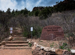
Hike Palmer Trail Loop at Section 16
5.5 mi / 1400 ft gainThe Section 16 trailhead can be found on lower Gold Camp Road. Almost immediately, the trail begins to rise in elevation. The grade is gentle at first but soon becomes a steep steady climb for about a mile and a half, until you reach the ridge. Along the way, you will see many intersecting trail...Read more -
Colorado Springs, Colorado
Hike Pulpit Rock
4.12.2 mi / 505 ft gainHeading South on N. Nevada Blvd. you will pass a Harley Davidson dealership on your left, about a mile after that there is a large parking lot for Pulpit Rock Park. Once you park, there is a clearly marked trailhead that will get you on your way! There are various trails you can take to get the t...Read more -
Colorado Springs, Colorado
Hike the Saint Mary's Falls Trail
5.06 mi / 1500 ft gainThis moderately difficult hike is a total of 6 miles, with a 1500' incline. You start from the parking lot off Gold Camp Road that intersects with High Drive, and start hiking up the part of Gold Camp Road that is closed off to vehicles. You will see a few trails stemming off from this main road,...Read more -
Colorado Springs, Colorado
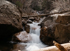
Hike the Seven Bridges Trail
4.04.75 mi / 1600 ft gainFollow North Cheyenne Creek through the canyon as it forms several cascades along the way. Due to water levels, spring is an especially good time for this hike. Most turn around just past the seventh bridge, where the trail starts to disappear.Read more -
Colorado Springs, Colorado
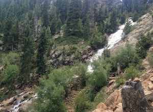
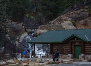
Helen Hunt Falls & Silver Cascades
4.00.65 mi / 272 ft gainPark at the log-cabin visitor's center on North Cheyenne Canyon Rd just before it turns into Gold Camp Rd. I definitely recommend arriving early, as the parking lot fills up quickly. Helen Hunt Falls is in sight of the parking area, and another 1/3 mile past that you'll run into Silver Cascades. ...Read more -
Colorado Springs, Colorado
Mt. Cutler Trail
5.01.79 mi / 561 ft gainThis is a quick hike to add to the list if you're making a trip to the Cheyenne Canon area. Parking is limited to about 15 cars and fills up fast so be sure to start early or the first part of your hike might start from a further parking or pull-off along the road. This is the same parking lot a...Read more -
Colorado Springs, Colorado
Mt. Muscoco Trail
4.83.66 mi / 1453 ft gainThe Basics: Mt. Muscoco (8020 ft.) is one of the easier summits in the Colorado Springs Front Range area, and you are quickly rewarded with 360 degree views after climbing 1.8 miles and 1,400 feet. The path is well-defined and maintained after it was reconstructed in 2015. Pack water and a light ...Read more -
Manitou Springs, Colorado
Hike to Mt. Rosa
4.83.7 mi / 1322 ft gainTo get to the trailhead start on Old Stage Rd. After 11 miles turn right onto Forest Service Rd 379. This is a 4WD road. A small/large SUV, or truck should do the trick, nothing too crazy though. Drive on FS 379 for 1.5 miles until you come to an open field on the right known as Frosty Park. Ther...Read more -
Cripple Creek, Colorado
Drive Gold Camp Road
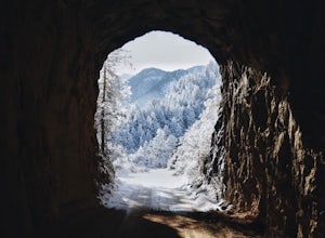
4.35 miGold Camp Road is a road that begins near Bear Creek Regional park. As you drive up the winding road, the road will turn to dirt. Continue driving down the dirt road, turn the corner and BAM, you're hit with some mountain views that will take your breath away. As you continue to drive Gold camp r...Read more -
Florissant, Colorado
See the Stars at Florrisant Fossil Beds
While Florrisant is known mostly for its history and collection of fossils, it is also one of the darkest places in the Colorado Springs area. While the park closes daily at dusk, it has Night Sky Programs monthly which allows visitors to view the stars with the help of the Colorado Springs Astr...Read more -
Teller County, Colorado
Backpack to the Abandoned Skagway Power Plant and Ghost Town
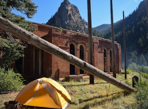
3.510 mi / 1000 ft gainConstruction of the Skagway Plant began in 1899 and was complete in 1901. In 1965, 15 days of rain brought floods washing out a lot of the pipeline and other infrastructure. Fixing the power plant didn’t make sense and funds weren’t in place. The land was reverted to the government. The hike b...Read more -
Larkspur, Colorado
Spruce Mountain Loop
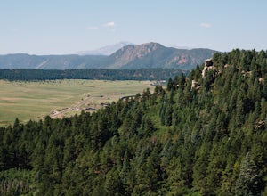
4.55.46 mi / 810 ft gainSpruce mountain is an approximately 4.2 mile loop outside of Colorado Springs near Palmer lake. The hike is a pretty easy one, that has some great views of the Front Range including peak a boo views of Pikes Peak. Starting at the Trailhead, you can either take the right or left trail which will t...Read more -
Woodland Park, Colorado
Climb at Turkey Rocks
5.0Looking for a place to hone your crack climbing technique? Turkey Rocks is the place with some old school ethics and stiff grades. Turkey can be accessed from the town of Westcreek north of Woodland Park. From here, head west on Abbey Road and then south on West Creek Ave. About a mile down t...Read more -
Guffey, Colorado
Paradise Cove
4.5From Colorado Springs, follow RT 24 to the town of Florissant (34.5 miles). From Florissant, follow Teller County Road 1 south for about 9.2 miles, until a Y fork, and bear right, into County Road 11. Follow County Road 11 for 4.1 miles, until a T intersection, and make a right turn at the inters...Read more -
Sedalia, Colorado
Hike Devils Head Fire Lookout
4.72.8 mi / 951 ft gainThis is one of my favorite hikes near Denver and the lookout itself is over 100 years old! On the road to the trailhead there are many spots for camping and other activities.From Sedalia, CO head down Highway 67 for about 10 miles. Turn south onto Rampart Range Rd and continue for about 9.5 miles...Read more -
Cañon City, Colorado
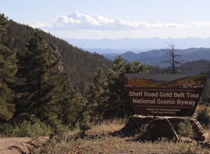
Shelf Road
5.0Shelf Road, which was once a toll road from Cripple Creek to Canon City, is now a maintained dirt road that most high clearance two wheel drive cars can make. It will take over an hour to travel the 25 miles or so, and it can be completed going from north to south or the opposite. I will explai...Read more

