Grand Lake, Colorado
Looking for the best hiking in Grand Lake? We've got you covered with the top trails, trips, hiking, backpacking, camping and more around Grand Lake. The detailed guides, photos, and reviews are all submitted by the Outbound community.
Top Hiking Spots in and near Grand Lake
-
Dillon, Colorado
Wildflowers, Lakes, and Peaks, Oh My!
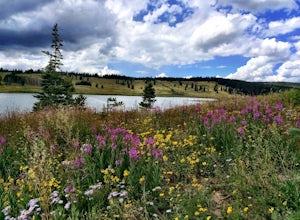
5.0Herman Gulch is one of those special places that makes you fall in love with Colorado all over again. This spectacular wildflower hike that ends at an alpine lake will have your head swiveling from start to finish. Wildflower season is July and August, with peak season being mid-to-late July. Ple...Read more -
Kremmling, Colorado
Camp Near Little Muddy Creek, Routt National Forest
5.0If you are looking to get away from the crowds then this is the site for you. Located in the Routt National Forest, this spot offers everything from a seasonal lake (I went out of season) to free range sheep.Because of all the aspen trees, this place will be glowing with color in the fall. You wi...Read more -
Boulder, Colorado
Hike the Flatirons Vista Loop Trail
4.73.3 miFrom the parking lot, take South Flatiron Vista Trail for 2.4 miles, where you'll cross onto North Flatiron Vista Trail. In 1 mile, take the connector trail back to the trailhead. To shorten the loop to 2 miles, hike South Flatiron for just 1 mile to Prairie Vista Trail, which leads back to the c...Read more -
Bellvue, Colorado
Trail Run the Hewlett Gulch Trail
5.08.5 mi / 800 ft gainHewlett Gulch Trailhead is located about 20 minutes from Fort Collins and offers easy hiking in the Poudre Canyon.From Fort Collins, take 287 to Ted's Place. Take a left onto CO 14 and follow 14 through the canyon just past Poudre Park where you see the trailhead sign. Turn left onto the road tha...Read more -
Dillon, Colorado
Hike the 7:30 Mine Road in Silver Plume
4.05 mi / 1200 ft gainWith a name like 7:30 Mine Road, this is one hike I had to investigate to see if it lives up to its name. Even though this is an easier hike than I normally choose, what it lacks in challenging terrain, it makes up for in historic interest. The view isn’t too bad, either.7:30 Mine Road is about t...Read more -
Silver Plume, Colorado
Argentine Railroad Grade
5.05.35 mi / 863 ft gainThe Argentine Central Railroad Grade trail is just what it says: it follows the old rail bed of the Argentine Central line. All railway remnants have long since been removed, and in its place is a wide, well-defined trail with an easy grade. With just a 900-foot incline over the course of about t...Read more -
Fort Collins, Colorado
Hike Arthur's Rock in Lory State Park
4.83.7 mi / 1150 ft gainThe climb to the summit of Arthur's Rock in Lory State Park provides relative isolation and solitude just 30 minutes from downtown Fort Collins along with great hiking, trail running, mountain biking, rock climbing, and horseback riding.Arthur's Rock Trail is the most direct route to the summit, ...Read more -
Fort Collins, Colorado
Hike the Coyote Ridge Trail
1.03 mi / 550 ft gainThe Coyote Ridge Natural Area is one of several Larimer County "gateway" preserves and Open Lands that lead into the Front Range of the Rocky Mountains, connecting the shrublands of the Great Plains to the Rocky Mountain themselves through a network of trails, parks, and preserves. The Coyote Rid...Read more -
Idaho Springs, Colorado
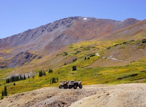
ATV Leavenworth Creek Road (Guanella Pass)
16.6 mi / 3655 ft gainSeptember is famous in Colorado for clear, deep blue skies,sublimely perfect temperatures, and gold-digging – of the leaf variety, thatis. On September 9, wildflower season was recently past and the best of theleaves were yet to come, but it was the perfect, clear and sunny day to checkout the hi...Read more -
Bellvue, Colorado
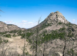
Climb Greyrock Mountain
5.07.1 mi / 3000 ft gainThe main trail begins at the Cache La Poudre river on the Poudre Canyon Highway about 30 minutes from Fort Collins. After about .75 miles the trail splits. To go left on Greyrock Meadows trail adds 2 miles to your trip and provides excellent views of Greyrock Mountain and Meadows from the south, ...Read more -
Fort Collins, Colorado
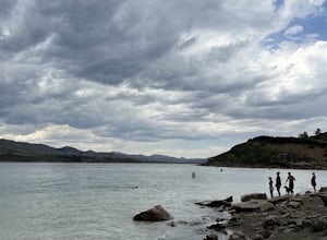
Horsetooth Reservoir North Foothills Trail
2.64 mi / 295 ft gainHorsetooth Reservoir North Foothills Trail is a loop trail that takes you by a waterfall located near Fort Collins, Colorado.Read more -
Fort Collins, Colorado
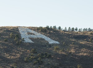
"The A" via the Foothills Trail
5.04.14 mi / 531 ft gainWhy is there an A on the side of the mountain? The "A" stands for Aggies. When Colorado State University was first founded in 1870, it was originally called Colorado Agricultural College. The mascot at the time was The Aggies. Though the college has now become Colorado State and its mascot, The...Read more -
Coalmont, Colorado
Camp at Dumont Lake, CO
4.5Dumont Lake is 22 miles southeast of Steamboat Springs, just minutes off of U.S. Highway 40 (Rabbit Ears Pass). As you turn off the highway and drive down the dirt road, you get great views of Rabbit Ears Peak.The campground is made up of 14 sites. Almost all of the sites have a view of the meado...Read more -
Dillon, Colorado
Hiking Mount Sniktau
5.04 miMount Sniktau is a great beginner 13er. This hike offers a fun ridge walk with amazing views! Make sure you come prepared, the wind can be pretty relentless. Parking is limited so make sure you arrive early.This hike will get your blood pumping from the moment you exit your vehicle. You will cli...Read more -
Dillon, Colorado
Hike Grizzly Peak at Loveland Pass
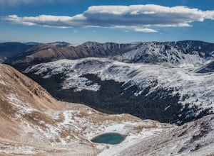
5.06 mi / 2900 ft gainWhile a typical Colorado hike may be an ascent to your destination followed by a descent back to your car, the hike to Grizzly Peak at Loveland Pass (Grizzly Peak "D") breaks that mold. At 13,427 feet, Grizzly Peak stands in the path to Torreys Peak’s west face (14,267’). Even though it is only ~...Read more -
Idaho Springs, Colorado
Hike to Hell's Hole
4.5The name is uninviting, but Hell’s Hole is a scenic, shallow basin in the Mount Evans Wilderness near Idaho Springs. Starting elevation is about 9500 feet. Right after the trailhead, you pass through a few camping sites in the Chicago Creek Picnic Area. About five minutes into the hike is the per...Read more

