Glenwood Springs, Colorado
Looking for the best photography in Glenwood Springs? We've got you covered with the top trails, trips, hiking, backpacking, camping and more around Glenwood Springs. The detailed guides, photos, and reviews are all submitted by the Outbound community.
Top Photography Spots in and near Glenwood Springs
-
Crested Butte, Colorado
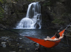
Explore the waterfalls of Oh Be Joyful Creek
If you're not already camping there, park at Oh Be Joyful Campground, about 5 miles up County Road 734 from downtown Crested Butte. There's parking on either side of the river crossing, but you're going to have to get your feet wet anyway, so might as well park in the first parking lot and walk a...Read more -
Aspen, Colorado
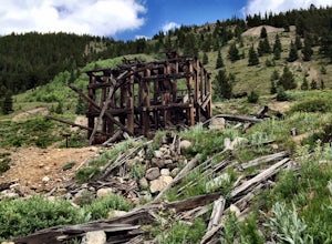
Independence Ghost Town
4.3Back in the late 1800s, Ashcroft, Aspen, and Independence were booming mining town. While Aspen is still thriving today, Ashcroft and Independence are ghost towns. Independence Ghost Town is on Independence Pass, 16 miles east of Aspen on Highway 82. The Farwell Mill sits right along the highwa...Read more -
Minturn, Colorado
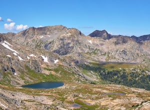
Backpack the High Alpine Seven Sisters Lake Chain
12 mi / 1000 ft gainThis lake chain is in a spectacular, undeveloped bowl of jagged and rugged mountain goodness located in the Holy Cross Wilderness Area. This hidden gem is easily accessible and, to my amazement, it is relatively unheard of even among many locals. More wonderful perks included in this backpacking ...Read more -
Minturn, Colorado
Hike to Fancy Pass
5.06 mi / 2373 ft gainThe Fancy Pass Trail near Red Cliff is an excellent option for those looking to experience hiking in the rugged and pristine conditions of a wilderness area. This 6 mile roundtrip trail will take you into the Holy Cross Wilderness and up close and personal with towering peaks, verdant meadows, an...Read more -
Somerset, Colorado
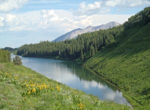
Hike the Three Lakes Trail
5.04.5 mi / 580 ft gainThe Three Lakes trail near Crested Butte is a great loop if you're looking to hit up a couple mountain lakes. At 4.5 miles with moderate incline, this trail can easily be knocked out in under 2 hours. It also is a great hike to admire fall colors as you'll get great views of the Ruby Range and th...Read more -
Somerset, Colorado
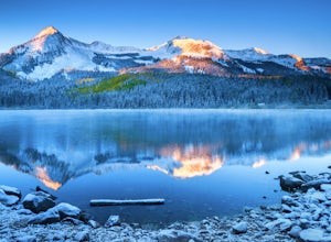
Camp at Lost Lake Slough
5.0Lost Lake Slough offers camping, hiking, photography, kayaking, and more in a remote and beautiful part of Colorado. At an elevation of over 9,600 ft., the lake typically opens in mid-June after the snow is melted, and closes in October after the first significant snowfall. The campground is on...Read more -
Crested Butte, Colorado
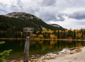
Hike to Meridian Lake
4.0The trail starts off with a small river crossing. You can find an easier place to cross nearby, or just march right through, if you have waterproof shoes or sandals.The beginning of the trail is the hardest. You will have a steep incline for about a quarter mile, following switchbacks up to the l...Read more -
Aspen, Colorado
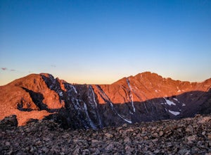
Hike Lost Man Loop
5.08.8 mi / 1290 ft gainThis 8.8 mile "loop" is not a true loop and the trail ends 4 miles apart along Independence Pass, so a car shuttle is recommended. I would recommend starting at the west trailhead (closer to Aspen) but will describe both trailheads so you can set up another car or shuttle at the other one.1) West...Read more -
Minturn, Colorado
Scramble the Halo Ridge on Mt. Holy Cross
5.015 mi / 5210 ft gainThe Halo Ridge is by no means the easiest route to the summit of Mt. Holy Cross, but it is definitely the most interesting and scenic. You'll begin at the Half Moon (Tigiwon) trailhead, but instead of the popular Halfmoon Trail, you will start on the Fall Creek Trail as it leaves the campground.T...Read more -
Minturn, Colorado
Hike to Tuhare Lakes
12 mi / 3000 ft gainOverview: About a 12 mile hike, with 3 alpine lakes, a significant climb and views worthwhile Photos: See all photos here. Getting There: The hike is accessed from the Half Moon pass parking lot - from the Fall Creek trailhead. The parking lot and trailhead are accessed at the end of Tigiwon Rd. ...Read more -
Minturn, Colorado
Ski Notch Mountain
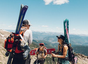
10 mi / 3000 ft gainWhat's not to love - you'll be skiing in the off season! We did this hike/ski in late June, our skis, boots, and avi gear packed with our hiking shoes on our feet. May could potentially be the most opportune time for this adventure. The hike you will take is the traditional Notch Mountain Hike. T...Read more -
Somerset, Colorado
Hike the Dyke to Dark Canyon Loop
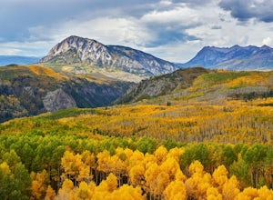
4.06.5 mi / 1700 ft gainKebler Pass near Crested Butte is a leaf peepers paradise considering that one of the largest groves of aspens in Colorado makes its home here. If you want those postcard views of rugged mountain peaks and vibrant aspens, then I recommend hiking the Dyke Trail to Dark Canyon loop. Put this on you...Read more -
Bond, Colorado
Camp at Radium Campground
This was a rafting/camping trip. We camped at the Radium Campground and rafted 4.5 miles from Pump House Boat Launch. BLM charges $5.00 per vehicle at the boat launch sites and $10.00 per night for camping.Keep an eye out for big horn sheep. I saw them grazing on the side of the colorado river.Yo...Read more -
2203-2407 County Road 12, Colorado
Camp at Kebler Pass
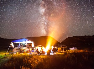
4.5Camping on Kebler Pass begins at around GPS: 38.89575, -107.214655. The pass is only available during the warmer summer months but is quite the treat. We went in August to catch an eclipse and the rolling free hills made it a great place to view from. You pass a reservoir on your way in where man...Read more -
Pitkin County, Colorado
Sunset Hike to Twining Peak
4 mi / 1700 ft gainTwining Peak is a ranked 13er located 2 miles north of Independence Pass. The hike involves around 1700 feet of elevation and is mostly off-trail with some class 2 scrambling (class 3 can be had if you look hard enough). Independence Pass is a prominent and popular pass on Highway 82 between Twin...Read more -
Vail, Colorado
Hike the Upper Piney River Trail
4.05.6 mi / 350 ft gainBeginning at an elevation of 9,397 feet, this hike provides an easy 2.8 mile (one way) trip through the gorgeous meadows against the distant aspens and alpines. Wildflowers and wildlife are abundant, which make this trip a fantastic education and play experience for kids.Coordinates for the trail...Read more

