Georgetown, Colorado
Top Spots in and near Georgetown
-
Leadville, Colorado
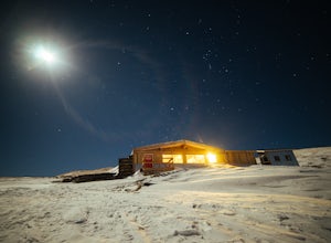
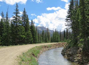
Ski or Snowshoe to the Weston Pass Hut
5.013.4 mi / 2400 ft gainYour trip starts at the winter trailhead for Weston Pass, approximately 6.7 miles from the hut. Depending on road conditions, you may be able to cut off a few miles by driving further up the road.In the summer, you can drive all the way to the hut, and enjoy a great basecamp for hiking and trail ...Read more -
Bond, Colorado
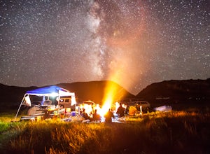
Camp at Radium Campground
This was a rafting/camping trip. We camped at the Radium Campground and rafted 4.5 miles from Pump House Boat Launch. BLM charges $5.00 per vehicle at the boat launch sites and $10.00 per night for camping.Keep an eye out for big horn sheep. I saw them grazing on the side of the colorado river.Yo...Read more -
Grand Lake, United States
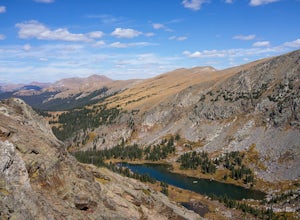
Hike to Timber Lake
4.59.6 mi / 2050 ft gainI love Timber Lake! I never see that many people on the trail and I can't figure out why. The hike starts at the Timber Lake trailhead and climbs gradually through Pine and Aspen trees on the way up. We saw a few elk on the way up that didn't seem to be bothered by our presence. We also started h...Read more -
40.407117,-105.626146
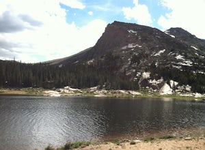
Hike to Lawn Lake, Rocky Mountain NP
12.9 mi / 2558 ft gainThis 4 to 8 hour day hike leads to Lawn Lake, located inside a large basin at tree line, and surrounded by Fairchild Mountain, Hagues Peak, and Mummy Mountain. Lawn Lake is among the largest subapline lakes in Rocky Mountain National Park. As you ascend into the sub-alpine zone, you will be gree...Read more -
Estes Park, Colorado
Hike the Ypsilon Lake Trail
5.08.38 mi / 2000 ft gainTo get to the trailhead, enter Rocky Mountain National Park on the 36. Keep right at the fork with the 34 and then you'll take your next left and the parking for the trailhead is the first parking area on your right. There is an outhouse at the trailhead too, so if you need to take a pit stop b...Read more -
Estes Park, Colorado
Backpack the Gorge Lakes
11.5 mi / 3200 ft gainStart at the Rock Cut Parking Area. Head east on Trail Ridge Road 0.25 miles to a more gradual and bald western slope leading down into Forest Canyon. This bald is located between two creeks which merge before joining the Big Thompson River (a small creek in mid September). Use the creeks to navi...Read more -
Estes Park, Colorado
Climb at Lumpy Ridge
Lumpy Ridge is mostly a traditional climbing area with most climbs being two or more pitches after a mile to 3+ miles of mostly flat walking. From climbers left to right the larger areas consist of Sundance Buttress, The Bookend, The Bookmark, The Book, and Twin Owls. There are smaller formatio...Read more -
Estes Park, Colorado
Lumpy Ridge to Gem Lake
4.33.12 mi / 950 ft gainBegin by parking at the Lumpy Ridge trailhead, which is a couple miles outside of Estes Park on McGregor Avenue. At the trailhead, there are numerous signs indicating hiking trails, climbing routes, and other information about the area. After parking start hiking on the trail to the right of the ...Read more -
Grand Lake, Colorado
Hike the Colorado River Trailhead Loop
5.013.6 mi / 1245 ft gainSince this hike is 13.6 miles (according to my watch the hike was more around 14 miles, but it's in that range), I'm going to break it down into four different parts. To Lulu CityTo Little Yellowstone / Thunder PassThe Grand Ditch Red Mountain Trail The first 0.5 miles and the last 0.5 miles a...Read more -
Estes Park, Colorado
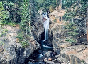
Chasm Falls
3.02.57 mi / 132 ft gainParking in Rocky Mountain National Park is tricky for Chasm Falls. Depending on where you are able to park, the hike will be a 0.1 mile, 2.8 mile, or 4.8 mile round-trip hike. It’s also important to know that Old Fall River Road is closed during the winter months from Nov 30th until the end of Ma...Read more -
Leadville, Colorado
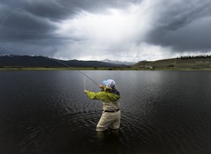
Fly Fish Crystal Lake
Crystal Lake is a beautiful lake (or could it be called a pond?), set in the shadow of the Rocky Mountain’s highest peaks, Mt. Elbert and Mt. Massive, can be found about six miles south of Leadville, CO on the west side of US 24. This lake holds a healthy trout population and is stocked regularly...Read more -
Castle Rock, Colorado
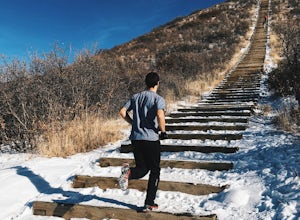
Run the Challenge Hill
5.00.6 mi / 200 ft gainThe Basics: The Challenge Hill, or as I like to call it, the Mini-Incline, is a shrunken version of its big brother to the south in Manitou. However, don't let its relatively small 200 stair count fool you - this hill is a serious workout! Located in Philip S. Miller Park, just one minute off I-2...Read more -
Buena Vista, Colorado
Backpack the Buffalo Peaks Wilderness Loop
5.011.7 mi / 2000 ft gainStarting at the Rich Creek Campground this wonderful moderate hike forms a loop by connecting the Rich Creek Trail and the Tumble Creek trail. in the Buffalo Peaks wilderness. Flanked by the Collegiate Peaks, in Spring and Summer the area is awash with rushing creeks, lush wet lowlands & deep...Read more -
Estes Park, Colorado
Mt. Ida via Milner Pass
5.09.28 mi / 2112 ft gainThe hike to Mt. Ida offers some of the most stunning views of Rocky Mountain National Park. How to get there: From the east, take Trail Ridge Road all the way to the west side of the park. You will pass Alpine Visitor Center and the road sharply turns south at Medicine Bow Curve. The trailhead...Read more -
Estes Park, Colorado
Backpack Alpine Terrain to Haynach Lakes
17 miBegin at the Milner Pass Trailhead off of Trail Ridge Road in Rocky Mountain National Park. Commonly used to summit Mount Ida, this trailhead is often popular with summer hikers. The trail climbs steeply through the trees before revealing open slopes of tundra and fantastic panoramic views. Altho...Read more

