Georgetown, Colorado
Top Spots in and near Georgetown
-
Estes Park, Colorado
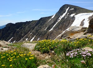
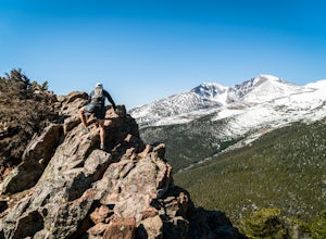
Flattop Mountain and Hallett Peak
4.49.73 mi / 3240 ft gainArrive at the Bear Lake Trailhead. Follow abundant signage toward Flattop Peak. Once you arrive at the summit of Flattop identify the unnamed unmaintained trail leading south toward Hallett Peak. Round the head of Tyndall Gorge and ascend the rocky slopes toward the summit by connecting short use...Read more -
Estes Park, Colorado
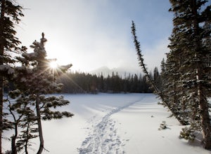
Snowshoe to Emerald Lake
4.63.6 mi / 605 ft gainSnowshoeing to Emerald Lake was completely different from hiking the trail during summer. Instead of hiking around Nymph Lake, Dream Lake, and Emerald Lake, I was able to go straight across them (check the ice to make sure it's thick enough to support your weight). Rocky Mountain National Park's...Read more -
Estes Park, Colorado
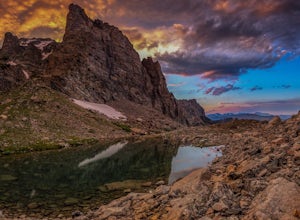
Climb Notchtop Mountain in Rocky Mountain National Park
5.03.5 mi / 1550 ft gainPark at Bear Lake, and follow the signs north of the lake to Odessa Lake. However, do NOT go all the way to Odessa Lake; after about 3 miles, when Notchtop is in full view, the trail begins to descend to Odessa Lake. Find an unmarked spur trail to the left which leads to shallow Lake Helene, then...Read more -
Estes Park, Colorado
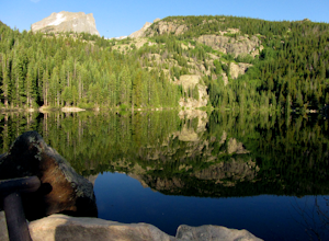
Hike Flattop Hallett Andrews Loop
5.010.9 mi / 3238 ft gainBear Lake to Flattop Mountain The trail starts at Bear Lake, where you get a view of Hallett Peak (12,713 ft) which will be the highpoint of your hike. After a short walk on the Bear Lake Trail, take the path to the right. After 1/2 a mile, take a trail left to the north. 1/2 a mile later, stay l...Read more -
Estes Park, Colorado
Dragon's Tail Couloir Climb
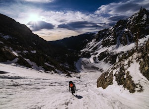
5.0Start your day at the Bear Lake parking lot, and head out on the short 2-mile approach that winds uphill past Nymph and Dream Lake. After arriving at Emerald Lake, skirt around the shore on the left side to reach the bottom of the couloir, clearly visibile on the far side of the lake.The 1500 ft ...Read more -
Grand Lake, Colorado
Hike to Big Meadows and Granite Falls
5.010.3 miThe Green Mountain Trail is part of the Continental Divide National Scenic Trail (CDT) which is a foot path from Mexico to Canada. Big Meadows is a great place to view elk, moose, and deer. Other animals you can see in the area are abert squirrels, river otters, weasels, and black bear.Big Meadow...Read more -
Estes Park, Colorado
Twin Sisters Peak
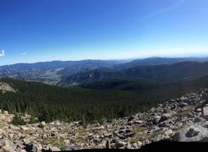
5.07.48 mi / 2470 ft gainThe trailhead starts close to 9,000 ft elevation. It continues at a gradual slope through the forest for a long way. The trail does not exit the tree line until close to the top, where there is a boulder field, of sorts (slightly over 11,000 ft). Don't worry, there is a nice trail all the way to ...Read more -
Estes Park, Colorado
Paddle Lily Lake
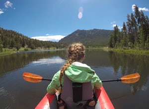
Lily Lake allows boating in non-motorized watercraft and is only a short carry from your parking area by 7. Parking can be limited so get there in the morning early so that you can enjoy the morning wildlife and decreased crowds. You can spend an hour or so here kayaking slowly around enjoying th...Read more -
Estes Park, Colorado
Estes Cone
4.08.22 mi / 2275 ft gainThe trail begins on the left on a park service road before reaching a junction with the Storm Pass Trail just past .2 miles. Follow the trail as it enters the forest and continue past the private property signs and over a footbridge. Past the bridge the trail climbs more steadily for just under 2...Read more -
Estes Park, Colorado
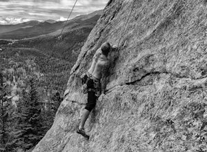
Rock Climb above Lilly Lake
3.5Lilly Lake is known as a very popular, easy hike in Rocky Mountain National Park. Lilly Lake itself is very pretty and also has some good fishing and walking opportunities.Rock rises up nearby the northwest area of the lake, and offers some of the most fun rock climbing in the area. There are num...Read more -
Fairplay, Colorado
Climb Horseshoe Mountain via Boudoir Couloir
7 mi / 2500 ft gainHorseshoe Mountain is a peak that is ranked in the top 100 tallest peaks in Colorado at 13,898 feet, and it can be done in the summer but is arguably more fun in the spring as a snow climb. Avalanche safety, snow climbing, and snow safety experience is necessary. To get to the trailhead, follo...Read more -
Fairplay, Colorado
Hike Mount Sherman
4.210.5 mi / 2100 ft gainA mile South of Fairplay, turn West onto 4 Mile Creek Road (dirt) and follow it for about 8 miles. The road passes a number of excellent camping spots and finally ends at the ruins of an old mine. Parking is available about a quarter mile from the mining area. Don't park at the gate as its possib...Read more -
Larimer County, Colorado
Bierstadt Lake Loop
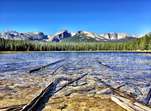
4.32.93 mi / 675 ft gainFrom the Bierstadt Lake Trailhead on Bear Lake Road in Rocky Mountain National Park, you start out in lodgepole pines at 8850 feet high. But you quickly get into the aspens. In the breeze, aspens flutter or quake. It's unique sound as the leaves almost dance in the wind. The views and aspens ...Read more -
Estes Park, Colorado
Sprague Lake Loop
5.00.81 mi / 26 ft gainLocated in Rocky Mountain National Park at an elevation of almost 8,700 feet, Sprague Lake offers visitors great views with very little effort required. It's a short 15 minute drive from Estes Park and hikers can take the short trail around the circumference of the lake. You'll find bathrooms and...Read more -
Denver, Colorado
Westerly Creek Trail
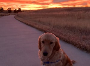
2.25 mi / 105 ft gainWesterly Creek Trail is an out-and-back trail that is good for all skill levels located near Denver, Colorado.Read more -
Sedalia, Colorado
Hike Devils Head Fire Lookout
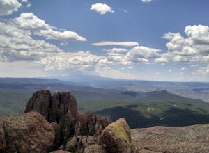
4.72.8 mi / 951 ft gainThis is one of my favorite hikes near Denver and the lookout itself is over 100 years old! On the road to the trailhead there are many spots for camping and other activities.From Sedalia, CO head down Highway 67 for about 10 miles. Turn south onto Rampart Range Rd and continue for about 9.5 miles...Read more

