Gateway, Colorado
Looking for the best chillin in Gateway? We've got you covered with the top trails, trips, hiking, backpacking, camping and more around Gateway. The detailed guides, photos, and reviews are all submitted by the Outbound community.
Top Chillin Spots in and near Gateway
-
Fruita, Colorado
Backpack in the Black Ridge Canyons Wilderness
4.2 mi / 1000 ft gainIf you're looking to backpack outside of the highly publicized areas of Colorado (aka the Rockies), head out to Western CO for some amazing experiences. Located 4 hours west of Denver along I-70 is the McInnis Canyon National Conservation Area (NCA). Overseen by the Bureau of Land Management (BLM...Read more -
Moab, Utah
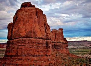
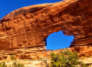
Photograph Arches National Park
4.9Located in Southeast Utah, 5 miles North of Moab, Utah. From Hwy 70, take Exit 182 towards Crescent Jct/Moab, taking Hwy 191 S for about 25 miles until you reach Arches National Park on your left.From the Visitor Center, the La Sal Mountains Viewpoint area is about a 4 mile ride on your right. Th...Read more -
Mesa County, Colorado
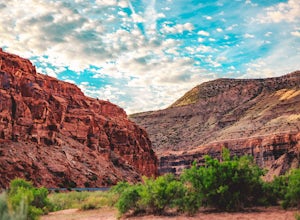
Backpack along the Gunnison River in the Dominguez-Escalante NCA
5.03.4 miIf you're looking to take your first backpacking adventure, but want something that is manageable yet thrilling, this is what you're looking for. Located along the Gunnison River in Western Colorado, the Dominguez-Escalante National Conservation area is easy to access yet full of adventure and be...Read more -
Moab, Utah
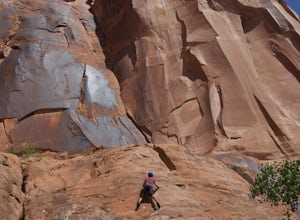
Rock Climbing Moab's Wall Street
4.4Moab's Wall Street is exactly what it sounds like, but nothing like the "Wall Street" you're familiar with. Several miles off Highway 279, it hugs the Colorado River on one side and a towering 500ft sandstone wall littered with climbing routes on the other. There is easy access to all of the clim...Read more -
Moab, Utah
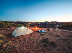
Camp at King's Bottom
4.0Kane Creek is a massive canyon, with the Colorado river at it's feet and red cliffs towering on either side. There are numerous trail heads and campgrounds the farther you explore into the canyon. However, these sites fill up fast. The canyon restricts camping to only designated sites, capping th...Read more -
Moab, Utah
Visit the Potash Road Petroglyphs
4.4Just north of Moab driving out on route 191, look for Potash Road, also known as route 279 just after the Colorado River. Turn left on Potash road and and drive five miles south. You will see a paved pull-out on the Colorado River side of the road with a sign for the petroglyphs. The rock art i...Read more -
Moab, Utah
Drive Chicken Corners
5.0From Moab, take Kane Creek Blvd out of town towards the beginning of the trailhead at the Kane Creek Recreation Parking Lot. From there, the trail is pretty much the only route available. The drive follows along a very smooth dirt road for the first six miles. Here, take a right to follow towards...Read more -
Moab, Utah
Drive Hurrah Pass
5.0Hurrah Pass is a 19.5 mile out and back trail/road that leads from the Colorado River Canyon through Kane Creek Canyon and up to Hurrah Pass at 4,780'. While technically considered a 4x4 trail once you begin your ascent out of Kane Creek Canyon, this can be done with a high clearance 2wd vehicle ...Read more -
Moab, Utah
Camp at Williams Bottom Campground in Moab
4.0Williams Bottom Campground and its 17 first-come first-serve campsites are tucked into the side of the Colorado River Canyon on Utah Highway 279 aka "Potash Road" just 15 minutes from downtown Moab. It is commonly known as one of *the* rock climbing campground on the west side of Moab, as there a...Read more -
Moab, Utah
Climb Wilson Arch
Wilson Arch is a common stop for people visiting the local national parks and Moab, but with some general climbing knowledge and gear you can make this into a longer outing. If coming from Moab, the arch is obvious on your left about 25 miles south. There is ample parking on both sides of the r...Read more -
Moab, Utah
Camp in Hunters Canyon
5.02 miMoab has become an increasingly popular adventure destination over the last few years. Its proximity to Arches and Canyonlands National Parks make it a popular spot for beginning day hikers as well as seasoned canyoneers, bikers, and climbers. It comes as no surprise that it can be a hassle to fi...Read more -
Moab, Utah
View the Petroglyphs at Birthing Rock
5.00.1 mi / 0 ft gainThis roadside boulder is just a short ride down a dirt road from Moab. From the McDonalds in Moab, head west down Kane Creek Drive. You will pass a few BLM and private campgrounds as well as various trailheads. The road will eventually become graded dirt. Follow the road until you see an obvi...Read more -
Moab, Utah
Explore the Willow Springs Dinosaur Tracks
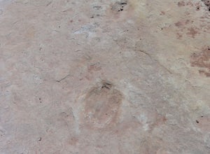
4.0I'm always find dinosaur tracks fascinating. Willow Springs has a few cool tracks not as defined as others but definitely noticeable. There is also an interpretive sign describing the tracks installed by the Bureau of Land Management. To find the tracks, drive north on 191. Over the Colorado Rive...Read more -
Moab, Utah
Hike to Jeep Arch
4.04 mi / 1015 ft gainJeep arch is located up the very scenic Culvert Canyon just outside Moab, UT. When coming into Moab from the north turn right onto UT 279/Potash Road and drive about 10.2 miles along side the Colorado river. You will come up to a pull out area on the right side of the road, near a large culvert u...Read more -
Monticello, Utah
Explore Looking Glass Arch
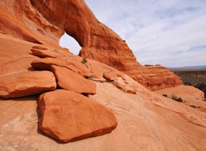
4.0Getting there:From Moab, follow Highway 191 south for about 23 miles until you get to Looking Glass Road/Co. Rd. 131. Take a right and follow the road for about 2 miles and then turn left into the parking lot.It is only about 0.10 miles from the parking lot to the arch itself, but there is a ~150...Read more -
Monticello, Utah
Camp at the Ledges Camping Area off of Kane Creek Road
5.0The turn off for Kane Creek Rd. is directly before the McDonald's on the right side of the road. A right turn takes you through small residential area and then places you on a dirt road continuing into the canyon. The road narrows a bit, switch backs, and becomes slightly rougher. Follow Kane Cr...Read more

