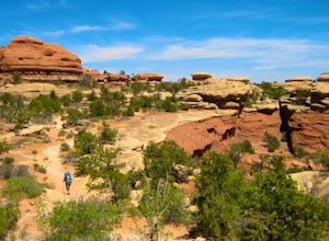
Egnar, Colorado
Looking for the best photography in Egnar? We've got you covered with the top trails, trips, hiking, backpacking, camping and more around Egnar. The detailed guides, photos, and reviews are all submitted by the Outbound community.
Top Photography Spots in and near Egnar
-
Monticello, Utah
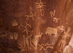
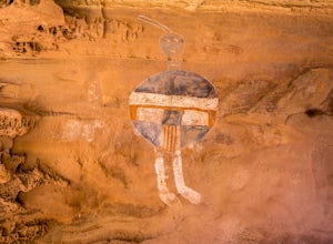
Explore the Newspaper Rock Ancient Petroglyphs
4.7After leaving Moab, turn off Highway 191 on to 211. The drive will wind over the mesa tops and down into red rock canyon country. Enjoy the changing seasons whether the red cliffs are covered in snow or spring desert flowers are blooming.Watch for cattle as this is open range country. Also watch ...Read more -
Moab, Utah
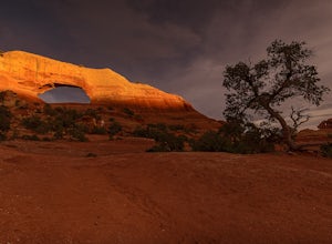
Hiking to Wilson Arch
4.3To get to Wilson Arch, drive south of Moab on US-191 S for about 25 miles. The arch is right off US-191S and there is parking on either side of the highway. Keep an eye out after you pass the LaSal Junction - the arch is visible from the road.From the parking lot there is a a very short (~0.5 mil...Read more -
Moab, Utah
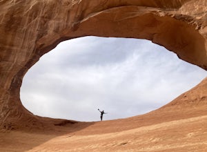
Climb Wilson Arch
Wilson Arch is a common stop for people visiting the local national parks and Moab, but with some general climbing knowledge and gear you can make this into a longer outing. If coming from Moab, the arch is obvious on your left about 25 miles south. There is ample parking on both sides of the r...Read more -
Monticello, Utah
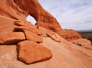
Explore Looking Glass Arch
4.0Getting there:From Moab, follow Highway 191 south for about 23 miles until you get to Looking Glass Road/Co. Rd. 131. Take a right and follow the road for about 2 miles and then turn left into the parking lot.It is only about 0.10 miles from the parking lot to the arch itself, but there is a ~150...Read more -
Cortez, Colorado
Explore Sand Canyon Pueblo
0.8 miThe Sand Canyon Pueblo marks the northern point of the Canyon of the Ancients National Monument, and connects south to the start of the Canyon of the Ancients Trail off Road G. The hike from the parking lot nearest to the pueblo is only 0.8 miles, and is reached on Road N, west of Cortez, Colorad...Read more -
Moab, Utah
Climb Mount Tukuhnikivatz
6 mi / 2200 ft gainFrom the parking area at La Sal Pass, follow a well defined but unmapped trail though meadow, brief forest, and then switchbacks up the prominent ridge just east of the summit ridge of Mt Tuk. Once on the ridge bear west (climbers left) along the ridge as it narrows. Depending on conditions the r...Read more -
Monticello, Utah
Backpack Salt Creek
33 mi / 1000 ft gainThe Needles District of Canyonlands receives 6 times as many backpackers as its more popular neighbor across the Colorado River, Island in the Sky. The Needles has an excellent trail network that is incredibly diverse, featuring amazing rock features as well as grassy meadows and savannahs. Whil...Read more -
Moab, Utah
Camp at Hamburger Rock
Hamburger Rock is a small BLM campground with 10 sites based around an interesting rock outcropping. Each site can accommodate around 6 campers, 2 tents, and 2 cars. The bathrooms here are very basic, open-top pits, and no other services are offered. Camping fees are only $6/night.Read more -
Moab, Utah
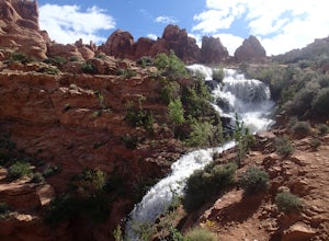
Explore Faux Falls
1 mi / 200 ft gainFaux Falls is located near the Ken's Lake campground off Route 191, 20 minutes south of Moab. When I was there it was during several days of thunderstorms. The waterfall was really gushing. Not sure how much water is running when there hasn't been rain in a while. The falls can be seen from the ...Read more -
Monticello, Utah
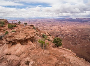
Explore Needles Overlook
About 1.5 hours from Moab on BLM land, Needles Overlook sits on a peninsula of rock 1600 ft. above southern Canyonlands NP. The views from here are just as commanding as Island in the Sky in Canyonlands, but with a lot fewer people due to its isolated location; there's a good chance you'll have ...Read more -
Monticello, Utah
Camp at Squaw Flat Campground
3.0Squaw Flat campground is an easily-accessed area full of picturesque campsites in Canyonlands National Park, Utah. It is located in the Needles District, which is well known for its colorful spires of Cedar Mesa Sandstone that cover the region. Campsite reservations must be made in advance at rec...Read more -
Monticello, Utah
Joint Trail in the Canyonlands Needles District
5.019.06 mi / 3028 ft gainA large part of the grandeur of Canyonlands National Park is the vast barren vista at Island in the Sky, but no visit to Canyonlands would be complete without the intimate and immersive desert experience that the Needles District offers. Drive two hours southwest of Moab away from cell phone rece...Read more -
Monticello, Utah
Backpack to Chesler Park, Canyonlands NP
5.013 mi / 600 ft gainThe first draw of this adventure is the roadtrip to the trailhead itself. Set out pre-dawn from Moab, UT and head 77 miles south and west to the Needles District Visitors Centre on Utah 211. En route you'll pass Newspaper Rock, a treasured collection of pictographs well worth the detour if you're...Read more

