Dillon, Colorado
Looking for the best running in Dillon? We've got you covered with the top trails, trips, hiking, backpacking, camping and more around Dillon. The detailed guides, photos, and reviews are all submitted by the Outbound community.
Top Running Spots in and near Dillon
-
Littleton, Colorado
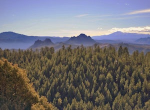
Hike the Eagle's View Trail
4.34.3 mi / 900 ft gainReynolds Park is part of the Jefferson County Open Space system. Located a few miles south of Conifer, off Hwy 285 on S. Foxton Road, it is a foothills park geared for families, groups, and the casual hiker. The network of trails on the west side of the road offers hikers and equestrians anything...Read more -
Boulder, Colorado
Rattlesnake Gulch Trail
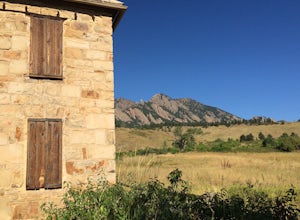
3.49 mi / 1093 ft gainRattlesnake Gulch Trail is a loop trail that takes you by a river located near Eldorado Springs, Colorado.Read more -
Golden, Colorado
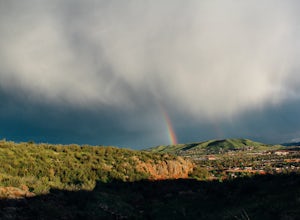
Hike South Table Mountain
4.03.3 mi / 1500 ft gainWant to see a rainbow? Possibly some coyotes or other Colorado wildlife?This hike is full of twists and turns, mostly involving the trail, but also in surprises along the way.Drive into downtown Golden (grab some food if you're hungry) and then park at the base of the Golden Summit trail. Startin...Read more -
Independence, Ohio
Hike Mountain Boy Ridge from the Top of Independence Pass
5.06 miThe trailhead is to the Independence Pass viewing deck is located at the Summit parking area, which is about 20 miles from Aspen and 24 miles west of Highway 24 on the Leadville side. At the parking area you will notice a paved walkway that takes you to the viewdeck, which is a easy five minute w...Read more -
Buena Vista, Colorado
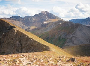
Summit La Plata Peak
5.09.25 mi / 4500 ft gainThe Northwest Ridge is the most easily accessible and popular route, and for good reasons. The trailhead is on the side of Hwy 82, otherwise known as Independence Pass, about 14.5 miles from the Hwy 24 junction, or about 10 miles from Twin Lakes to the east. The trailhead is hard to miss, and you...Read more -
Pine, Colorado
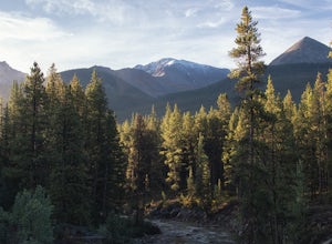
Dispersed Camp at the Buffalo Creek Area in Pike National Forest
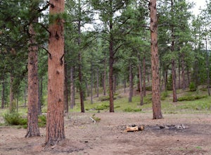
3.850 miles from Denver, nestled in Pike National Forest, there are dozens of free dispersed camping sites. With quick access to the Colorado Trail and Buffalo Creek Mountain Bike Area, these campsites make for a perfect weekend getaway. The campsites begin on Forest Road 550, and are clearly marked...Read more -
Boulder, Colorado
Hike the Big Bluestem Trail Loop
4.04.35 mi / 841 ft gainThis is a great spot for an easy/moderate hike or trail run. The trail is accessible year round and can often be hiked in winter as well as other seasons. You start out at the Mesa Trailhead parking lot off of Hwy 170. There is a parking lot here but this is a starting spot for several hikes into...Read more -
Boulder, Colorado
Hike Bear Peak
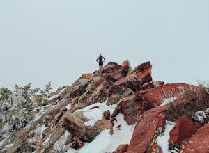
4.87 mi / 2810 ft gainThe best advice I can give you? Wake up early to start this hike.Even though the Bear Peak hike will only take you about 4-5 hours round trip, it will still be advantageous to get off the mountain before afternoon and evening storms might pass through. This is a steep 7-mile out and back trail.St...Read more -
Boulder, Colorado
Doudy Draw Trail
4.37 mi / 433 ft gainDoudy Draw Trail is an out-and-back trail where you may see beautiful wildflowers located near Boulder, Colorado.Read more -
Buena Vista, Colorado
Hike Missouri Mountain
5.010.5 mi / 4500 ft gainGetting there: The trail begins at Missouri Gulch TH. If you are a car camper or are trying to snag a sunrise summit, there are many many drive off sites in trees and near water before and after the trailhead. The road to get to the trailhead is not paved, but is well maintained - a super high cl...Read more -
Boulder, Colorado
Green Mountain via Gregory Canyon and Ranger Trail
5.45 mi / 2313 ft gainGreen Mountain via Gregory Canyon and Ranger Trail is an out-and-back trail that provides a good opportunity to view wildlife located near Boulder, Colorado.Read more -
Littleton, Colorado
Hike the Coyote Song-Swallow Trail Loop
3.83 mi / 350 ft gainWe all love to live our weekends to the fullest, but say you're itching for an adventure and it's midweek with the weekend still a good 3 or 4 days away? South Valley Park is the place to go if you're looking for an after-work adventure or just don't feel like driving too far from the city. A sho...Read more -
Boulder, Colorado
Hike the Red Rocks Loop Trail
3.71 miParking is available on either Canyon or Sunshine Roads. During the weekends it tends to get crowded around sunset so plan accordingly. The entire trail is a loop and is a little over 1 mile in length so it doesn't take too long. The main feature is the massive red sand stone rocks that jut out o...Read more -
Boulder, Colorado
Hike to the 1st Flatiron
4.62.4 mi / 1422 ft gainStarting at the ever-popular and ever-populated Chautauqua Trailhead, take the main trail (a highway version of a dirt trail) straight towards the Flatirons. Continue going straight passed the Ski Jump trail to your right (0.2 mi.), then at a crossroads with the Bluebell-Baird trail (0.3 mi.) tur...Read more -
Boulder, Colorado
Shanahan Ridge Trail
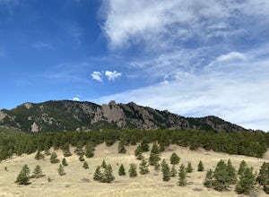
4.03.84 mi / 715 ft gainStarting on the edge of a neighborhood in South Boulder, this 3.8 mile loop begins its 869 foot elevation gain by meandering through a pine forest. You can 'choose your own adventure' by exploring the handful of trails that meet up with the Shanahan Ridge Trail, such as the South Mesa Trail, Shad...Read more -
Boulder, Colorado
Boulder's Skyline Traverse
5.014.77 mi / 4583 ft gainHave you ever reached the bottom of a hike with some friends and thought, 'That was nice, but I'd still like to hike more... a lot more.'? Then the Skyline Traverse is for you. Instead of hiking just Green Mountain or Bear Peak, the Skyline Traverse links South Boulder Peak, Bear Peak, Green Mou...Read more

