Cripple Creek, Colorado
Top Spots in and near Cripple Creek
-
Manitou Springs, Colorado
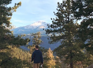
Hike Palmer Trail Loop at Section 16
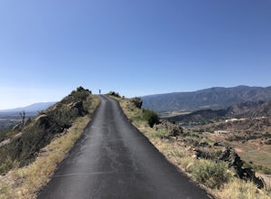
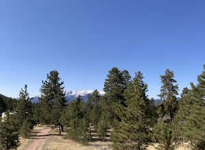
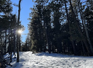
5.5 mi / 1400 ft gainThe Section 16 trailhead can be found on lower Gold Camp Road. Almost immediately, the trail begins to rise in elevation. The grade is gentle at first but soon becomes a steep steady climb for about a mile and a half, until you reach the ridge. Along the way, you will see many intersecting trail...Read more -
Colorado Springs, Colorado
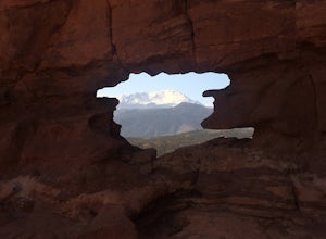
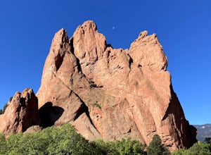
Siamese Twins Loop
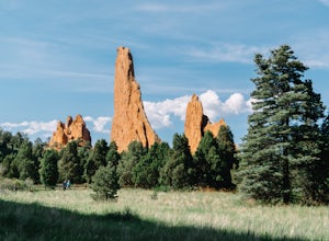
4.00.55 mi / 105 ft gainSiamese twins is about a half mile hike with little elevation gain that is a quick hike while driving the park. The hardest thing about this is getting a parking spot to tell you the truth. On a weekend or pretty much any summer day the five or so spots available at the trailhead are constantly...Read more -
Colorado Springs, Colorado
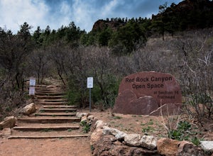
Hike, Climb, or Bike Red Rock Open Space
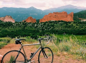
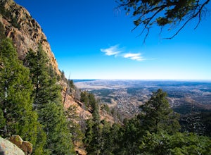
2.03 mi / 300 ft gainRed Rock Canyon Open Space was made public in the early 00's after years of use as a quarry and landfill. Some of the stone quarried from the area have even been used in some of the downtown buildings. Getting there is straightforward, heading West on 24 there is an obvious turn off left between ...Read more -
Cascade, Colorado
Photograph Rampart Range Road
4.720 miFrom the starting point near Balanced Rock in Garden of the Gods, Rampart Range Road turns to dirt and begins a steady climb into the foothills west of Colorado Springs. Though dirt, the road is well-graded and perfectly suitable for passenger cars in good weather. As the road climbs, you'll trav...Read more -
Colorado Springs, Colorado
Camp along Rampart Range Road
Along Rampart Range Road there are about 30 free BLM camping spots that offer scenic views of Pikes Peak and the surrounding forest. The road in is about 6 miles of gravel, however a 2WD Sedan was able to make the journey just fine! The camping spots are designated by a pre-existing fire ring and...Read more -
Colorado Springs, Colorado
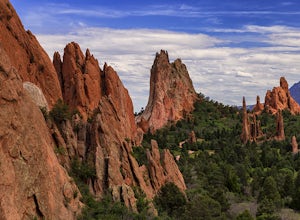
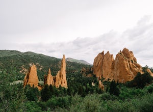
Climb and Hike in the Garden of the Gods
4.7If you are new to the area a stop by the visitor center can helpful to get a map of the trails and roads in the area as well as obtaining a climbing permit (one is needed to climb and is free).Once you have entered the area there are multiple trails and pull outs that you can explore. Many of the...Read more -
Colorado Springs, Colorado
Scotsman Trail Loop
5.01.09 mi / 128 ft gainScotsman Trail Loop is a loop trail where you may see beautiful wildflowers located near Colorado Springs, Colorado.Read more -
Colorado Springs, Colorado
Hike the Upper Loop Trail
5.00.75 mi / 72 ft gainThis short spur trail is right off Perkins Central Garden Trail. Most people walk by it because the walkway changes from paved to dirt, but it is definitely a must-see if you're exploring the park. It climbs just a short amount before reaching the rocks you can climb on. Make sure you take a mome...Read more -
Colorado Springs, Colorado
Perkins Central Garden Trail
5.01.13 mi / 138 ft gainGarden of the Gods has dozens of hiking trails that cover miles through the park itself. The Perkins Central Garden Trail takes you through the heart of the rock formations and really gives you perspective on the size of these red rocks. This trail also takes you past several areas where rock cl...Read more -
Colorado Springs, Colorado
Bike the Garden of the Gods Loop
5.06 mi / 500 ft gainThe Basics: Garden of the Gods is a free, public park on the Western edge of Colorado Springs. Open year round, the excellent paved roads with wide bike lanes provide road bikers with multiple loop options from 3 to 10+ miles. From casual bike riders to seasoned pros, you choose your distance and...Read more -
Colorado Springs, Colorado
Hike Cheyenne Mountain
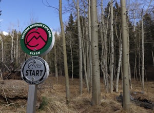
16 mi / 3400 ft gainThis trail starts out of Limekiln Trailhead in Cheyenne Mountain State Park. This is a large, obvious trailhead with bathrooms and water. From the trailhead follow the Talon trails on flatter terrain for the first 3 or so miles until it starts to steepen and turns to Dixon trail. These first few ...Read more -
Cañon City, Colorado
Drive Skyline Drive
5.0Skyline drive is a one way scenic roadway mainly going north to south. The 3 mile drive takes you about 800 feet above Cañon City. It starts on the west side of 50, and ends in a residential neighborhood southwest of where it begins. There are multiple pull offs on the right and left side of the...Read more -
Colorado Springs, Colorado
Paddle Rampart Reservoir
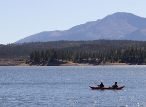
Rampart Reservoir is located off of Rampart Range Road and is boat accessible from Spring until Fall. It has a boat ramp for motorized as well as human powered boats. There are vault toilets nearby. It is a nice place to spend the day paddling at close to 9,000 ft elevation. Just be prepared for ...Read more -
Woodland Park, Colorado
Lowell Gulch Upper and Lower Ridge Trail
4.04.45 mi / 719 ft gainLowell Gulch Upper and Lower Ridge Trail is a loop trail that takes you past scenic surroundings located near Woodland Park, Colorado.Read more -
Woodland Park, Colorado
Lovell Gulch Trail
5.22 mi / 814 ft gainLovell Gulch Trail is a loop trail that takes you by a river located near Woodland Park, Colorado.Read more -
Colorado Springs, Colorado
Hike to Blodgett Peak
3.04.5 mi / 2325 ft gainGetting There Google Maps + "Blodgett Peak Open Space"= Easy Peasy. The parking lot only accommodates 11 cars with a one of those reserved for handicap. A port-a-potty is the only facility available at the trail head, so plan accordingly. The Hike Starting out at about 7,000 feet the first mile ...Read more

