Crawford, Colorado
Looking for the best hiking in Crawford? We've got you covered with the top trails, trips, hiking, backpacking, camping and more around Crawford. The detailed guides, photos, and reviews are all submitted by the Outbound community.
Top Hiking Spots in and near Crawford
-
Telluride, Colorado
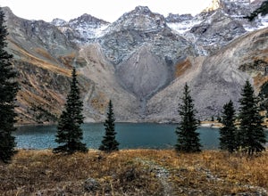
Blue Lakes Trail
5.08.81 mi / 2635 ft gainYour adventure begins at the Blue Lakes Trailhead, elevation 9400’, in Uncompahgre National Forest. Take CO-62 from Ridgway toward Telluride, turn left onto Ouray County Road 7, and follow it into the national forest to the end of the road. Just past the trailhead, the trail splits; be sure to ...Read more -
Ridgway, Colorado
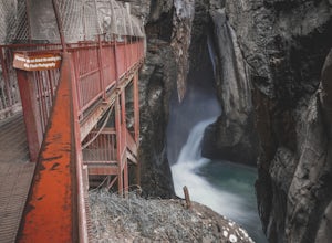
Box Canyon Falls
5.00.57 mi / 243 ft gainBox Canyon Falls is located on the outskirts of Ouray, Colorado less than five minutes from downtown. The nearly 300 foot waterfall crashes through the canyon down to the town's hot springs. The park also features a bridge overlooking the waterfall, river, and the town of Ouray. To get to Box Ca...Read more -
Lake City, Colorado
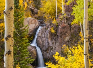
Explore Nellie Creek Falls
5.00.8 mi / 300 ft gainNellie Creek Falls is a beautiful little falls, up County Road 23. The waterfall is surrounded by a forest of aspens leading up the valley. To get to the falls take the northern route of the Alpine Loop from Lake City towards Engineer Pass. In about 5 miles you come to Nellie Creek Road on the ri...Read more -
Aspen, Colorado
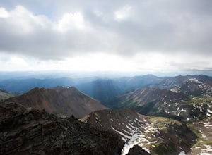
Castle Peak and Conundrum Peak
5.012.71 mi / 5125 ft gainThere are many different places to start the trek up to Castle and Conundrum. The first step, however, is always go to the end of Castle Creek Road just outside of Aspen, CO. When the paved road ends, there is parking available right off the road for those who don't wish to drive further. Howe...Read more -
Basalt, Colorado
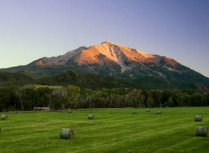
Camp at Thomas Lake and Summit Mt. Sopris
5.013 mi / 4400 ft gainWith the Elk Mountain range behind it, It appears to be standing by itself, and has the resemblance of a grand volcano.From Hwy 133 out of Carbondale, turn down Prince Creek Road and drive 6 miles to the trailhead. The trail is a nice mixture of meadows and woods, with excellent views of the vall...Read more -
Basalt, Colorado
Hike Hay Park
Head south out of Carbondale on Highway 133. Two miles from the Main Street roundabout, take a left on Prince Creek Road. Follow this road up to Dinkle Divide and follow the signs to Dinkle Lake. Continue up the road until you see a large, fenced in parking area with a toilet on the left. This is...Read more -
Aspen, Colorado
Backpack Cathedral Lake
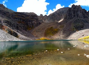
4.75.6 mi / 2000 ft gainCathedral Lake offers an excellent alternative to escape the crowds that swarm the Maroon Bells area, especially in the peak autumn season. The drive along Castle Creek Rd towards the abandoned ski town Ashcroft is lined with aspens showing off their golden hues. Parking at the trailhead is plent...Read more -
Aspen, Colorado
Hike to Spiral Point (Yin Yang), Snowmass
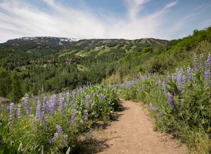
5.01.3 mi / 284 ft gainSnowmass Village is located 15 - 20 minutes west of Aspen Colorado off state highway 82. Once in Snowmass Village, take Brush Creek road almost to the top of the hill until the road splits with Divide road (If you have made it to the Snowmass Village mall, you have missed the road and must turn b...Read more -
Lake City, Colorado
Capture Fall Foliage and Whitmore Falls on Engineer Pass
5.0Just outside of the small community of Lake City, Colorado is Engineer Pass, a dirt road that has amazing views and opportunities to hike, take pictures, and maybe even explore an abandoned mining town. Four wheel drive or all wheel drive is preferable, but the road can definitely be driven by a ...Read more -
Aspen, Colorado
Conundrum Hot Springs via Conundrum Creek
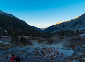
4.316.77 mi / 2717 ft gainAfter picking up your required overnight permit, start your morning with a coffee in Aspen, then drive out 15 min to the trailhead at the end of Conundrum Creek road. The trail is a straight shot 9 miles up the valley, through expansive meadows and an always incredible view of the mountains and ...Read more -
Aspen, Colorado
Ski or Snowboard the Burnt Mountain Glades of Snowmass
5.03.5 miThis is part of the Aspen Snowmass Ski area so you'll have to buy a ski pass to take the lift up, or if you're up for a bigger workout, put some skins on and trek up to the top of Elk Camp. The easiest way to get there is to take the Elk Camp gondola to the Elk Camp lift. Once at the top of the l...Read more -
Aspen, Colorado
Hike or Snowshoe Castle Creek
6 miAt the round-a-bout that leads into the town of Aspen, take the Castle Creek Road exit. Follow this road for 12 miles until you get to the ghost town of Ashcroft. The road itself is very scenic, so be prepared to pull over and whip out your camera!During winter, the road ends at Ashcroft and a cr...Read more -
Ouray County, Colorado
Mount Sneffels via Yankee Boy Basin
5.01.94 mi / 1581 ft gainThe most common route, sometimes called the standard route or the Lavender Col route, begins at or near the top of Yankee Boy Basin, just outside of Ouray. Take the Camp Bird Road as far as you can, though be warned that the last few miles of the road are extremely rough and should only be attem...Read more -
Ouray County, Colorado
Climb Mt. Sneffels via the Southwest Ridge
4.53 mi / 1800 ft gainThere is a great description of this trailhead here: Hike Mount SneffelsThe SW Ridge route of Mt Sneffels is a Class III scramble in the Mount Sneffels Wilderness area of the San Juan Range located between Ouray and Telluride, Colorado. This route is 3 miles RT with 1,800 feet of elevation gain ...Read more

