Conifer, Colorado
Looking for the best hiking in Conifer? We've got you covered with the top trails, trips, hiking, backpacking, camping and more around Conifer. The detailed guides, photos, and reviews are all submitted by the Outbound community.
Top Hiking Spots in and near Conifer
-
Ward, Colorado
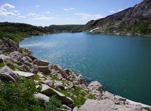
Climb Apache Peak
10 mi / 3280 ft gainStart at the Long Lake Trailhead ($10 parking fee) and head up the trail towards Isabell Lake. You'll pass both Long Lake and Isabelle lake, with spectacular views at both. At Lake Isabelle, be sure to continue straight on the trail, further up the valley, not the right turn up to Pawnee Pass.Con...Read more -
Ward, Colorado
Pawnee & Buchanan Pass Loop
5.026.98 mi / 6978 ft gainBefore you start your trip, get a camping permit from the Boulder Ranger Station. Plan to spend your first night in the Crater Lake BZ (Backcountry Zone), and your second in Buchanan BZ. If you're feeling particularly sedate, you can easily spend a third night in Coney Creek. Start early in the ...Read more -
Ward, Colorado
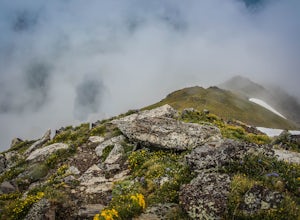
Pawnee Pass and Pawnee Peak
5.09.95 mi / 2490 ft gainStart at the Long Lake trailhead in the Brainard Lake Recreation area (there's a fee to park, if you don't have a pass). Take the trail towards Lake Isabelle for a few miles, winding through forest and past Long Lake. Signage towards Lake Isabelle and Pawnee Pass is apparent. Just as you reach ...Read more -
Ward, Colorado
Lake Isabelle via Long Lake Trailhead
4.54.09 mi / 374 ft gainStart at the Pawnee Pass Trail No. 907 Trailhead. Long Lake is about 2 tenths of a mile and Lake Isabelle is 2 miles from the trailhead. Keep an eye out for moose grazing in the bushes or in the water near Long Lake. This is a 4 mile out and back hike with well marked trails. For an 8.75 mile hi...Read more -
Ward, Colorado
Isabelle Glacier
5.08.62 mi / 1578 ft gainGetting There The trailhead can be reached from Boulder by driving west through Boulder Canyon on Highway 42 to Nederland, then going north on the Peak-to-Peak Highway 72 to the town of Ward. From there, a National Forest Sign on the west side of the highway provides directions to the ranger stat...Read more -
Ward, Colorado
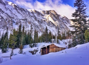
Snowshoe or Ski Lake Isabelle
10 miSpeechless. That’s how this hike will leave you. And not just because of its length. At over 10 miles, this snowshoe exploration is not for the faint of heart. But the language-defying beauty of this hike will make every sore muscle worth it.The Brainard Lake Recreational Area near Ward, Colorado...Read more -
Silverthorne, Colorado
Hike to Old Dillon Reservoir
4.51.7 mi / 137 ft gainToday, Lake Dillon is one of the biggest attractions in the Dillon Valley, attracting boaters, anglers, and campers. However, the large reservoir we know today was not the first one in the area. The Old Dillon Reservoir was built in the 1930s to supply water to the original town of Dillon, which...Read more -
Colorado Springs, Colorado
Hike Eagle's Peak (USAFA)
4.02.5 mi / 1100 ft gainThis is a short trail that goes very high in elevation. In about 1.25 miles you can go about 2000ish feet in elevation change. You need to wait till 9am to start the hike as it sits on the US Airforce Academy. It is definitely worth it. Bring shoes that can handle the rocky terrain.You take the f...Read more -
Ward, Colorado
Hike to Blue Lake
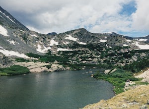
4.66 mi / 1000 ft gainLocated in the Brainard Lake Recreational Area (west of Nederland, CO in the Indian Peaks Wilderness), this gem isn’t exactly a well-kept secret, but it has all the beauty that you could ask for in a relatively easy Colorado hike.To get the full effect of the lake, you may want to plan your hike ...Read more -
Breckenridge, Colorado
Ski or Snowshoe McCullough Gulch
5.06 mi / 1300 ft gainIf the snow is not coming to you, you go where the snow is. Breckenridge is a good place to start; this beautiful ski area gets more than its fair share of snow, and is full of stunning trails. Why pay big bucks at one of the Nordic centers, when you can access acres and acres of the White River ...Read more -
Breckenridge, Colorado
Winter Hike to Quandary Peak (14,265')
4.67 mi / 3500 ft gainQuandary Peak is a popular winter 14er because of its easy access near Breckenridge, its Class 1 designation, and its low avalanche risk. While the access roads to many 14ers are closed in winter, adding extra mileage to an already grueling hike, Quandary Peak’s access is just off Hwy. 9, and the...Read more -
Fraser, Colorado
Summit Byers Peak
8.8 mi / 2774 ft gainThe drive to the start of the trail is okay, having a high clearance vehicle would make the drive easier, but is not necessary. Free parking is available along the side of the road.The trail starts on a closed service road at a gate and requires you to either hike or bike up the dirt road (2 mil...Read more -
Lake George, Colorado
Camp and Fish at Eleven Mile Canyon
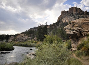
4.4Located below the dam of the Eleven Mile Reservoir, Eleven Mile Canyon is a scenic spot for camping, fishing, hiking and climbing. There are four different campgrounds to choose from (Cove, Riverside, Spillway and Springer), though only one campground remains open during the off season. Getting t...Read more -
Breckenridge, Colorado
Hike the East Ridge of Pacific Peak
5.08 mi / 3500 ft gainStart from the McCullough gulch trailhead. If possible it would be worth having 2 cars and leaving one at the main McCullough trailhead so you don't have to walk the road on your way down. Bushwack through trees and willows up the ridge directly to the north of the trailhead. You might be lucky a...Read more -
Breckenridge, Colorado
Winter Climb of North Star Mountain
4.08 mi / 2400 ft gainFrom the west parking lot at the top of Hoosier Pass, take the 4x4 road as it climbs through a forest west of the pass. Before long, the trees thin and you'll stay on the road through treeline and reach a gate at just over 12,000 feet.Stay right at the gate and continue on this old mining road as...Read more -
Breckenridge, Colorado
Hike McCullough Gulch to Upper Blue Reservoir
5.02.8 mi / 910 ft gainThe trail first takes you to Upper Blue Reservoir, about 1.4 miles in. Past this point, it can be somewhat tricky to find the trail, but for experienced hikers, the upper valley holds a number of lakes, a waterfall, and open tundra for exploring. Mountain goat sightings are also common in this ar...Read more

