Castle Pines, Colorado
Looking for the best hiking in Castle Pines? We've got you covered with the top trails, trips, hiking, backpacking, camping and more around Castle Pines. The detailed guides, photos, and reviews are all submitted by the Outbound community.
Top Hiking Spots in and near Castle Pines
-
Manitou Springs, Colorado
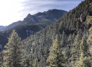
Palmer Trail (Section 16)
5.05.51 mi / 1352 ft gainPalmer Trail (Section 16) is a loop trail where you may see beautiful wildflowers located near Colorado Springs, Colorado.Read more -
Boulder, Colorado
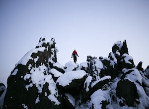
Mount Sanitas Loop & Settlers Park
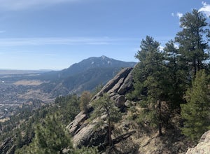
4.43.83 mi / 1371 ft gainFirst off, these are two different hikes but both stem from the same parking lot and Settlers Park is a mere 5 minutes away from where you park so why not kill two birds with one stone? One of the more popular hikes in Boulder, Mount Sanitas is a 3 mile hike that quickly scales nearly 1,350 feet...Read more -
Boulder, Colorado
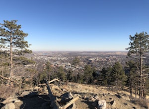
Red Rocks and Anemone Trail Loop
1.26 mi / 459 ft gainRed Rocks and Anemone Trail Loop is a loop trail that provides a good opportunity to view wildlife located near Boulder, Colorado.Read more -
Boulder, Colorado
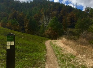
Sunshine Lion's Lair Loop
5.05.05 mi / 1257 ft gainThis is a mix of trails that will bring you on an easy loop to the peak of Mt Sanitas, but will keep you away from the usual crowds of the more well-known paths up. The hike is a clear path that brings you 5+ miles from around 5,500 ft in elevation to 6,800. You'll start at the Centennial Trail...Read more -
Boulder, Colorado
Mount Sanitas Peak Trail
2.57 mi / 1296 ft gainExplore the natural wonders of Boulder, Colorado, with the Mount Sanitas Peak Trail hike. This trail offers stunning vistas of the Rocky Mountain wilderness and Colorado's Front Range. This hike is just over 2.5 miles with about 1300 feet of elevation gain. Parking and Access: Start your hik...Read more -
Boulder, Colorado
Mount Sanitas + Sunshine Canyon loop
5.03 mi / 1257 ft gainThis loop takes you up Sunshine Canyon, a milder and less crowded grade when compared to the popular Sanitas ridge. You'll head up the canyon for a bit before reaching the terminus of the canyon trail -- where you'll cross the road to pick up on the Lions Lair connector. Continue following this u...Read more -
Idaho Springs, Colorado
Bierstadt, Evans, and The Sawtooth Loop
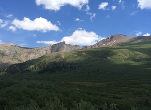
4.59.76 mi / 3438 ft gainStarting from the oddly poorly marked Guanella Pass Trailhead (Google maps directions to Guanella Campground and then drive about two miles past it to the south), the trail heads southeast toward Bierstadt, and much of your route to the first summit is visible from the parking lot. The trail to ...Read more -
Idaho Springs, Colorado
Watch the Sunrise at Guanella Pass
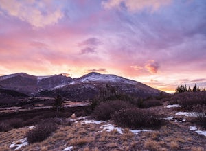
5.01 mi / 100 ft gainFrom Denver, take i70 to Georgetown and simply follow the signs through town to the top. This pass can also be accessed from the south via US Highway 285 at the town of Grant. Guanella Pass is closed in the winter, typically from about the last week in November through the last week of May. Watch...Read more -
Dillon, Colorado
Mount Bierstadt
4.67.18 mi / 2697 ft gainIf you’re ready for your first 14er, Mount Bierstadt holds a reputation for a great “starter” 14er. Of course, experienced climbers will enjoy this (relatively speaking) easy mountain as well. Besides the joy of the hike itself, Bierstadt is a stunning wildflower hike in July and August. Thanks t...Read more -
Georgetown, Colorado
Hike to Square Top Lakes
4.3 mi / 1080 ft gainStarting from Guanella Pass, right across from the Bierstadt trailhead, Square Top Lakes is definitely a hidden gem. Most people here are attempting to do the 14er, but if you've already bagged that one (or are just looking for some high altitude hiking to get you ready for it), Square Top Lakes ...Read more -
Calhan, Colorado
Photograph Colorado's Paint Mines
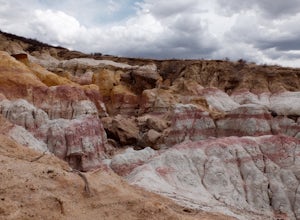
4.90.25 miAbout an hour from Colorado's busy Garden of the Gods is a multi-colored hoodoo valley called, The Paint Mines. Similar in appearance to Utah's popular Goblin Valley, The Paint Mines offer colorful hoodoo formations making your photography here even more awe inspiring.Getting to the park is easy,...Read more -
Divide, Colorado
Hike to Horsethief Falls and Pancake Rocks
4.87.6 mi / 1400 ft gainHorsethief Falls and Pancake Rocks can be found on the west side of Pikes Peak, so if you want to get away from the crowds and the city, put this trail on your to do list.Most of the trail runs through the forest, which makes this an excellent candidate for hiking in July and August when the summ...Read more -
Idaho Springs, Colorado
Camp at Guanella Pass
4.5This is a beautiful campground that serves as a great basecamp for many different outdoor activities in the Front Range. Whether you are looking for a casual day fishing or trying to knock one of the nearby 14ers off of your bucket list, this is an excellent place to begin. There are also abandon...Read more -
Boulder, Colorado
Mountain Bike the Betasso Preserve
4.03.3 mi / 564 ft gainThe Betasso Preserve features two loop trails that are accessible to both hikers and mountain bikers. Drive up (west) Boulder Canyon about 15 minutes outside of Boulder and turn right (north) on Sugarloaf Dr. After another 5 or so minutes you'll see a sign on the right-hand (northeast) side of...Read more -
Calhan, Colorado
Hike the Paint Mines Interpretive Space Loop
4.54 mi / 200 ft gainThe site is an easy drive from Colorado Springs on US Route 24. There are three parking areas: the west and south parking areas are trailheads, and there is additional parking on the west side for a scenic overlook. The overlook does not attach to any trails.Through several loops, there are up to...Read more -
Dillon, Colorado
Silver Dollar Lake Trail
5.03.93 mi / 945 ft gainGuanella Pass, which connects the charming and historic town of Georgetown in the north to the blink-and-you’ll-miss-it Grant to the south, is a recreational outdoorsman’s dream. Volumes could be written on what this 22-mile scenic byway has to offer. Silver Dollar Lake Trail is just one tiny po...Read more

