Buena Vista, Colorado
Looking for the best photography in Buena Vista? We've got you covered with the top trails, trips, hiking, backpacking, camping and more around Buena Vista. The detailed guides, photos, and reviews are all submitted by the Outbound community.
Top Photography Spots in and near Buena Vista
-
Guffey, Colorado
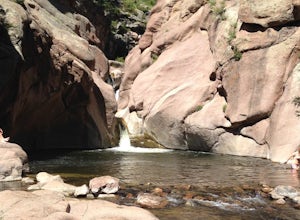
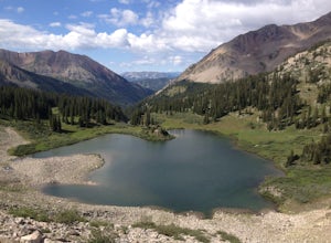
Paradise Cove
4.5From Colorado Springs, follow RT 24 to the town of Florissant (34.5 miles). From Florissant, follow Teller County Road 1 south for about 9.2 miles, until a Y fork, and bear right, into County Road 11. Follow County Road 11 for 4.1 miles, until a T intersection, and make a right turn at the inters...Read more -
Breckenridge, Colorado
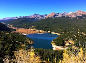
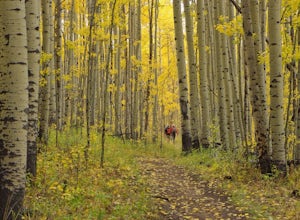
Hike Baker's Tank Loop
3.86 mi / 645 ft gainWhen the aspens are sporting their golden hues of autumn, Baker's Tank Loop is a perfect fall hike. The trailhead is about ten minutes from downtown Breckenridge. For part of the hike, you may have the world to yourself. But, for the road portion, you'll likely have to share with the leaf peep...Read more -
Aspen, Colorado
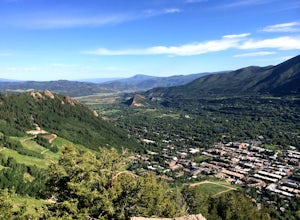
Ute Trail to Ute Rock
4.71.75 mi / 1122 ft gainThis shady trail of switchbacks ascends steadily (over a thousand feet in under a mile) to a rock outcropping at 9,185 feet. Yes, you can expect your heart to be pounding and to be huffing and puffing as you climb Ute Trail. But the view of Aspen that rewards you is spectacular. The trail is pre...Read more -
Minturn, Colorado
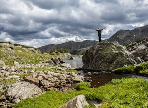
Backpack the High Alpine Seven Sisters Lake Chain
12 mi / 1000 ft gainThis lake chain is in a spectacular, undeveloped bowl of jagged and rugged mountain goodness located in the Holy Cross Wilderness Area. This hidden gem is easily accessible and, to my amazement, it is relatively unheard of even among many locals. More wonderful perks included in this backpacking ...Read more -
Red Cliff, Colorado
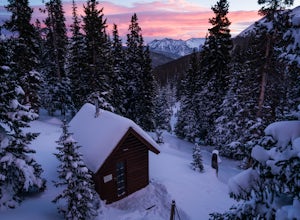
Ski to Fowler-Hilliard Hut
6.5 mi / 2500 ft gainFowler-Hilliard hut sits at 11,500 ft on a forested ridge of Resolution Mountain, with easy access to intermediate and expert backcountry skiing right out the door. This newer hut was built in 2010 after the original hut burned down from a lightning strike. The hut comes stocked with padded mattr...Read more -
Breckenridge, Colorado
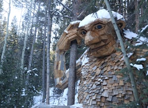
Breckenridge Troll
5.00.2 mi / 26 ft gainIsak Heartstone, otherwise known as the Breckenridge troll, can be accessed from the Illinois Gulch Trailhead. This trailhead can be full for much of the day, so it is advisable to find parking in town and then take a bus, walk, or bike to the starting point of this short walk. Once at the trai...Read more -
Jefferson, Colorado
Colorado Trail: Kenosha Pass to FR 130
4.66.81 mi / 938 ft gainThe Colorado Trail (http://www.coloradotrail.org) is 500 miles long and stretches from Denver to Durango. Perhaps the most-traveled portion of the Colorado Trail is at Kenosha Pass. Kenosha Pass is well-known for its thick, colorful stands of aspen in the fall. During peak leaf season (late Septe...Read more -
Aspen, Colorado
Backpack to Copper Lake
10 miLooking for a wildflower hike, we decided on Copper Lake in the Maroon Bells Wilderness as a place to base camp for 4 nights. It is 5 miles from the Trailhead, which is off Gothic Road above Crested Butte (2WD Accessible).Copper Lake is this beautiful alpine lake, situated right at treeline, with...Read more -
Jefferson, Colorado
Backpack Lost Creek
4.05 miI included a trail map of where I camped. There are many sites all throughout this area. From the Lost Park Campground Parking lot follow the Lost Creek for 2.4 miles. At the 1 mile mark was the best place that we found to cross the creek (there are two logs that make a bridge across the creek). ...Read more -
Aspen, Colorado
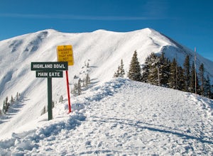
Ski the Aspen Highland Bowl
/ 782 ft gainBeing able to ski or snowboard the Highland Bowl requires a good set of lungs and legs. Accessing the 12,382-foot peak requires taking a couple of lifts from the base of Aspen Highlands Mountain (Exhibition then Loge Peak), then some serious leg work (expect a 30-60-minute hike). Some parts of th...Read more -
Aspen, Colorado
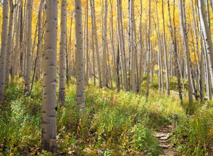
Explore Aspen's Foliage Along Government Trail
5.010 mi / 2193 ft gainThe Government Trail is beautiful and relaxing during spring and summer, but my favorite time to hike it is during fall because it goes through countless numbers of Aspen groves, which have turned a majestic yellow. After a moderate ascent for the first couple of miles, the trail become flat and ...Read more -
Frisco, Colorado
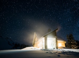
Ski to Janet's Cabin
6 mi / 1900 ft gainJanet's Cabin is located on the eastern slope of the Continental Divide at 11,610 ft, near Copper Mountain ski resort. This hut is one of the rare huts with not only a sauna but indoor bathrooms (composting pits)! The cabin was built in 1990 and due to the location helicopters were required to b...Read more -
Florissant, Colorado
See the Stars at Florrisant Fossil Beds
While Florrisant is known mostly for its history and collection of fossils, it is also one of the darkest places in the Colorado Springs area. While the park closes daily at dusk, it has Night Sky Programs monthly which allows visitors to view the stars with the help of the Colorado Springs Astr...Read more -
Aspen, Colorado
Camp at Silver Queen Campground
To start it off, head out from Aspen on Maroon Creek Road. Once you get to the park, you will either have to pay the charge at the booth or if you get there after 5pm, you can self pay at the cash box, which is $10. You'll also want to get an overnight parking pass set up which doesn't cost extra...Read more -
Aspen, Colorado
Camp at Silver Bell Campground
Escape the bustle of town and head out of Aspen on Maroon Creek Road. Follow the signs to Maroon-Bells Snowmass Wilderness Area. There is a $10 entrance fee (unless you are a national parks pass cardholder) plus an additional fee to camp. Continue down the road to Silver Bell Campground. With a t...Read more -
Frisco, Colorado
Backpack to the Gore Range's Wheeler and Lost Lakes
4.510 mi / 2200 ft gainThe range offers many remote lakes and peaks which hikers can access from various points of entry. Wheeler and Lost Lakes lie within the boundaries of the Eagle's Nest Wilderness Area.The Gore Trail begins on the north side of the CO-91 pedestrian bridge over I-70. You will follow the trail up al...Read more

