Breckenridge, Colorado
Top Spots in and near Breckenridge
-
Breckenridge, Colorado
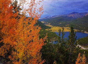
Camp at Boreas Pass
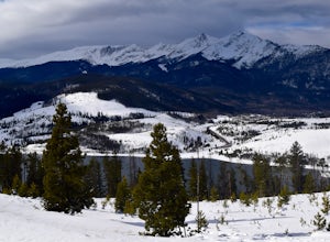
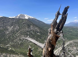
9 mi / 1500 ft gainBoreas pass is a high mountain pass in the Rocky Mountains that sits on the Continental Divide at 11,481'. Forest Service Road 33 goes over the pass and has numerous campsites all along its length, with several near the summit that feature breathtaking views of the Tenmile Range and the Breckenri...Read more -
Breckenridge, Colorado
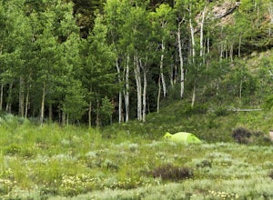
MTB Boreas Pass
Boreas Pass is a scenic route that lies between Como (north of Fairplay on Hwy 285) and Breckenridge. It is 21 miles of low maintenance, rough gravel road that follows the Continental Divide and summits at 11,481 feet. Other than the altitude, the ride is not difficult, as the grade is not steep ...Read more -
Frisco, Colorado
Backpack the Colorado Trail: Copper Mountain to Hagerman Pass
39 miThe Colorado Trail (CT) runs for 483 miles from Denver to Durango, crossing through eight mountain ranges and passing through six wilderness areas. There are great resources on completing a thru-hike of the CT; this post is about Segments 8-9 of the CT from Copper Mountain to Tennessee Pass.These...Read more -
Frisco, Colorado
Climb Mount Royal
4.7To access the trailhead, drive 4 blocks South to the end of 2nd Avenue from Frisco's Main Street. The trailhead is located around 9,075 feet.Being a popular hike, the trail is clear in the summer months and usually populated by boot prints and snowshoe tracks in the winter. Follow the trail from ...Read more -
Breckenridge, Colorado
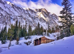
Ski or Snowshoe McCullough Gulch
5.06 mi / 1300 ft gainIf the snow is not coming to you, you go where the snow is. Breckenridge is a good place to start; this beautiful ski area gets more than its fair share of snow, and is full of stunning trails. Why pay big bucks at one of the Nordic centers, when you can access acres and acres of the White River ...Read more -
Breckenridge, Colorado
Winter Hike to Quandary Peak (14,265')
4.67 mi / 3500 ft gainQuandary Peak is a popular winter 14er because of its easy access near Breckenridge, its Class 1 designation, and its low avalanche risk. While the access roads to many 14ers are closed in winter, adding extra mileage to an already grueling hike, Quandary Peak’s access is just off Hwy. 9, and the...Read more -
Breckenridge, Colorado
Mount Guyot Snow Climb
5 mi / 2500 ft gainFrom Jefferson follow 35 north to 54 and drive up 54 as far as possible ending a few miles before Georgia pass. Depending on the snowpack and drifts on the unplowed road, you could hike as few as 5 miles round trip or as many as 10. If the snow blocks you from driving past Michigan Creek Campgro...Read more -
Swan Mountain Road, Colorado
Sapphire Point Overlook
3.30.62 mi / 49 ft gainThis short, 0.6 mile loop hike gives a beautiful view of Lake Dillon and is an easy, family-friendly hike. Dogs are allowed but must be kept on leash. The trail is clear cut and descends a few feet while looping around the side of the mountain to the overlook point. It is definitely a worthwhil...Read more -
Frisco, Colorado
Hike or Snowshoe to Rainbow Lakes
5.03 mi / 250 ft gainYou can do this hike two different ways: 1- Start from the Peaks Trail Trailhead for an out and back hike, distance is a little over 2 miles roundtrip. 2- Start along the Summit County Recreational Trail (as marked on this map), also out and back hike, total distance just over 3 miles, and provid...Read more -
Frisco, Colorado
Mount Royal Trail
3.98 mi / 1391 ft gainMount Royal Trail is an out-and-back trail that takes you through a nice forest located near Frisco, Colorado.Read more -
Frisco, Colorado
Hike to Mayflower Gulch
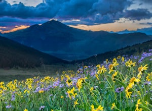
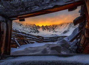
4.74 mi / 1000 ft gainGetting to the Mayflower Gulch is pretty easy, you can either hike an easy 2 mile forest road or drive all the way to end (you need decent clearance for the drive). At the end of the hike you are greeted with a stunning view of the Old Boston mining site. During the summer, wildflowers are abunda...Read more -
Frisco, Colorado
Snowshoe the Mayflower Gulch
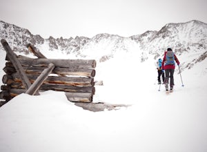
4.74 mi / 1000 ft gainTo begin, park in the large parking lot (it is usually plowed all winter except right after a large storm). The parking lot can be reached via highway 91, approximately 6 miles south of Copper Mountain and will be on the east (left if coming from the north) side of the road. Begin up the obvious ...Read more -
Frisco, Colorado
Backcountry Ski or Snowboard at Mayflower Gulch
If you were driving down highway 91 towards Leadville and blinked at just the right moment, you'd drive right past this hidden gem of an area. Located just over 6 miles South of Copper Mountain ski resort on the East side of highway 91, the parking lot for the Mayflower Gulch trail head offers pl...Read more -
Frisco, Colorado
Frisco to Vail through Hike
5.013.55 mi / 3430 ft gainStarting at the Meadow Creek Trail head just off the turn off to Frisco this hike connects the stunning Eccles Pass and Gore Creek trails.Passing over Eccles Pass (11,917') and Red Buffalo Pass (11,742') this spectacular hike passes through dense forest, serene lakes and bubbling creeks.The Vail ...Read more -
Frisco, Colorado
Hike to Eccles Pass
10 mi / 3000 ft gainStarting at just over 9,000ft the Meadow Creek trail follows the path of the similarly named Meadow Creek. Through a canopy of aspens and pines the trail climbs at a steady, moderate rate. After a few water crossings the trees give way to an alpine meadow that offer a view of the final approach t...Read more -
Frisco, Colorado
Hike Red Buffalo Pass, Frisco to East Vail
13.2 mi / 3400 ft gainStarting at the Meadow Creek trailhead in Frisco, you'll find yourself ending up in East Vail at Gore Lake Trailhead. See all photos here. The trail in Meadow Creek starts to climb at a gradual pace for the 3-4 miles, after a mile or so, take a look back upon the views of Lake Dillion. You'll ar...Read more


