Bond, Colorado
Top Spots in and near Bond
-
Dillon, Colorado
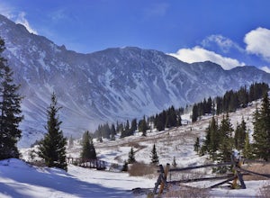
Bakerville Scenic Snowshoe/XC Ski Trek
4.0In summer, Stevens Gulch Road, the access point to Grays Peak and Torreys Peak, is typically packed with adventurers intent on summiting a 14er or two. Once the snow comes, this unmaintained road becomes impassible, and the once busy lane transforms into a silent and pristine haven for snowshoers...Read more -
Aspen, Colorado
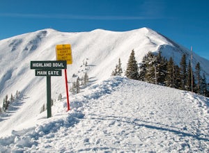
Ski the Aspen Highland Bowl
/ 782 ft gainBeing able to ski or snowboard the Highland Bowl requires a good set of lungs and legs. Accessing the 12,382-foot peak requires taking a couple of lifts from the base of Aspen Highlands Mountain (Exhibition then Loge Peak), then some serious leg work (expect a 30-60-minute hike). Some parts of th...Read more -
Dillon, Colorado
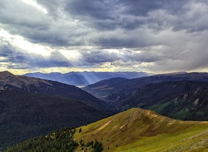
Sunset Views from Morgan Peak
8.42 mi / 2900 ft gainHow you get to Morgan Peak and the other 13ers in the area depends on if you have a 4-wheel drive with good clearance or not. If so, drive the rough Santa Fe road from the small town of Montezuma (just outside Keystone). The road is also known as Forest Service 264 and is a left at the stop sign ...Read more -
Berthoud Pass, Colorado
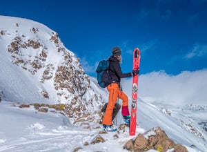
Ski or Snowboard Berthoud Pass Colorado
Berthoud Pass is 55 miles from Denver making it one of the closest places to get out and backcountry tour in the winter. At 11,370 Berthoud Pass crosses the continental divide. From the top of the pass you can do shuttle runs down the south side of the pass. Or, you can venture on the East or Wes...Read more -
Berthoud Pass Parking Lot, Colorado
Mount Flora
5.06.29 mi / 1788 ft gainColorado’s Rocky Mountains offer hikes of all lengths, sizes and difficulties. Mt. Flora stands at a lofty 13,146 ft and is a great intro to climbing peaks in Colorado. Roundtrip, this hike is 6.3 miles and will take you (in the summer) through fields of alpine wildflowers as you climb into Color...Read more -
U.S. 40, Colorado
Parry Peak
11.82 mi / 4209 ft gainThe trek to Parry Peak crosses three other peaks (Colorado Mines Peak, Mt. Flora, and Mt. Eva) along the Rocky Mountains. Begin your hike around sunrise as inclement weather often rolls in during the late afternoon. The trail is extremely rocky and steep. From the Berthoud Pass parking lot, fol...Read more -
Winter Park, Colorado
Snowshoe Mount Flora
6.2 mi / 1738 ft gainMy friend Austin and I hiked up to Mt Flora last year on what was probably the coldest day ever. Ever? It was 9 degrees at the Berthoud Pass parking lot and we had 32mph winds nearly the whole way. We estimated the temp to be around -28ºF with the windchill... brrrr!DirectionsFrom the Berthoud Pa...Read more -
Winter Park, Colorado
Snowshoe to Broome Hut
1.5 mi / 729 ft gainTake I-70 from Denver and then US 40, go all the way to Mile marker 240 of US 40 and park in the area at the side of the road. The Second Creek trail head is just behind the parking area and is easy to find.The trail climbs from a start at 10,600ft and finishes up at 11,325ft at the hut, but you ...Read more -
Winter Park, Colorado
Twin Cones via Second Creek Trailhead
5.04.85 mi / 1614 ft gainThis hike begins at Second Creek Trailhead off of US Highway 40. It's pretty steep right off the bar gaining about 800ft of elevation in the first mile. This first mile takes you to Broome Hut, which has a bathroom and is a great place to stop and take a break. Keep in mind that there are no dogs...Read more -
Breckenridge, Colorado
Camp at Boreas Pass
9 mi / 1500 ft gainBoreas pass is a high mountain pass in the Rocky Mountains that sits on the Continental Divide at 11,481'. Forest Service Road 33 goes over the pass and has numerous campsites all along its length, with several near the summit that feature breathtaking views of the Tenmile Range and the Breckenri...Read more -
Breckenridge, Colorado
MTB Boreas Pass
Boreas Pass is a scenic route that lies between Como (north of Fairplay on Hwy 285) and Breckenridge. It is 21 miles of low maintenance, rough gravel road that follows the Continental Divide and summits at 11,481 feet. Other than the altitude, the ride is not difficult, as the grade is not steep ...Read more -
Breckenridge, Colorado
Discover Ancient Trees on Windy Ridge
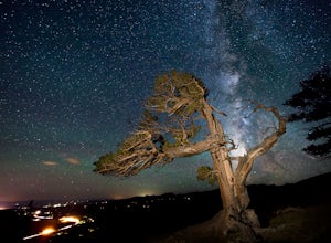
The Windy Ridge Bristlecone Pine Scenic Area is a remote stand of trees off a 4WD road near Alma, Colorado. This grove of bristlecone pines was given protected status in 1964 due to its uniquely shaped trees influenced by the winds blasting off nearby 14er, Mount Bross. The area sits at 11,700 ...Read more -
Snowmass, Colorado
Capitol Lake via Capitol Ditch
5.012.28 mi / 2575 ft gainThe route to Capitol Lake is fairly straightforward, but not without its minor hardships. The route begins at the end of Capitol Creek Road, 9 miles from the small "town" of Snowmass (NOT Snowmass Village - that's the high-class ski resort). The last few miles of this road provide the first min...Read more -
Grand Lake, Colorado
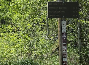
Doe Creek Trail
7.13 mi / 1617 ft gainDoe Creek Trail is a loop trail that takes you by a lake located near Granby, Colorado.Read more -
Leadville, Colorado
Fly Fish Crystal Lake
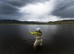
Crystal Lake is a beautiful lake (or could it be called a pond?), set in the shadow of the Rocky Mountain’s highest peaks, Mt. Elbert and Mt. Massive, can be found about six miles south of Leadville, CO on the west side of US 24. This lake holds a healthy trout population and is stocked regularly...Read more -
Aspen, Colorado
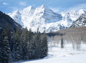
Ski or Snowshoe to the Maroon Bells
5.012 mi / 1000 ft gainFrom Aspen drive down Maroon Creek Road until it comes to its winter closure located by T Lazy 7 Ranch. The Ranch offers snowmobile tours and keeps the six mile snow covered road to the Bells groomed. Most popular with cross country skiers, the snow road can also be hiked, fat biked, and skinned....Read more

