Bond, Colorado
Top Spots in and near Bond
-
Breckenridge, Colorado
Ski or Snowshoe McCullough Gulch
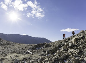
5.06 mi / 1300 ft gainIf the snow is not coming to you, you go where the snow is. Breckenridge is a good place to start; this beautiful ski area gets more than its fair share of snow, and is full of stunning trails. Why pay big bucks at one of the Nordic centers, when you can access acres and acres of the White River ...Read more -
Aspen, Colorado
Camp on the Backside of Buttermilk Mountain
1.04 mi / 2000 ft gainPark at the Buttermilk Ski Area parking lot and begin your hike up the mountain at the bottom of the Summit Express chair lift. Follow the 4x4 dirt road the entire way up Buttermilk. There are other small hiking trails that you can follow too, and with the entire mountain being a ski area, it's s...Read more -
Leadville, Colorado
Camp at Kite Lake
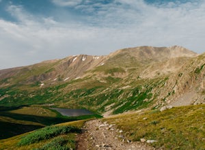
5.0Kite Lake is a beautiful little lake that is surrounded plenty of fourteeners. Just outside of Alma, Colorado, Kite lake can be accessed from Buckskin Street. Buckskin is a simple left turn after the only bar in Alma, or a right turn before the only bar in Alma... Do note, this road is not drivab...Read more -
Leadville, Colorado
Decalibron Loop (CLOSED)
4.87.5 mi / 3000 ft gainNOTE: As of March 2023, access to parts of this loop that are on private property (including Mt. Democrat & Mt. Lincoln) are closed to the public indefinitely. (Source) Start your hike at the Kite Lake trailhead, where you can find overnight camping for a small fee, or park a bit down the ro...Read more -
Leadville, Colorado
Mt. Democrat (CLOSED)
4.84 mi / 2150 ft gainNOTE: As of March 2023, access to parts of this loop that are on private property (including Mt. Democrat & Mt. Lincoln) are closed to the public indefinitely. (Source) To begin this wonderful hike, drive from the town of Alma, Colorado and head up Buckskin Street for about 6 miles. I would ...Read more -
Leadville, Colorado
Mounts Democrat, Lincoln, Cameron and Bross (CLOSED)
4.08 mi / 3500 ft gainNOTE: As of March 2023, access to parts of this loop that are on private property (including Mt. Democrat & Mt. Lincoln) are closed to the public indefinitely. (Source) Find your way to the Kite Lake trailhead near Alma, Colorado. The road up to the trailhead is suitable for most vehicles, i...Read more -
Granby, Colorado
Ice Fish on Lake Granby
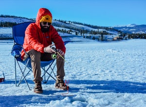
Looking to catch some fresh trout? This might be the place to get it! If it's your first time fishing Lake Granby, here's some pointers:Those of you coming from Denver, take US 40W past Winter Park, Fraser and Tabernash until you hit Granby. After you pass through the town of Granby, turn right o...Read more -
Dillon, Colorado
Off-Road to Glacier Mountain
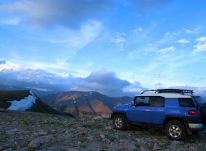
5.07.4 mi / 2100 ft gainThe trail begins just past historical Main Street Montezuma. You will see a sign on your right for St. Johns road. This road is officially marked as 275 on a map. The original road lead to St. Johns but not much of the town remains.You will cross the Snake River almost immediately after you turn ...Read more -
Breckenridge, Colorado
Winter Climb of North Star Mountain
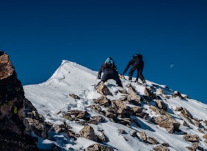
4.08 mi / 2400 ft gainFrom the west parking lot at the top of Hoosier Pass, take the 4x4 road as it climbs through a forest west of the pass. Before long, the trees thin and you'll stay on the road through treeline and reach a gate at just over 12,000 feet.Stay right at the gate and continue on this old mining road as...Read more -
Aspen, Colorado
Hike the Mayfly Trail, Snowmass
0.25 miLocated in Snowmass Village CO, this trail is nestled between Brush Creek and Brush Creek Road.Drive your vehicle to Clark's Market (16 Kearns rd Aspen, CO) and park in the lot facing down valley looking towards Woodbridge Condominiums. Along the edge of Clark's parking lot there will be a dirt t...Read more -
Aspen, Colorado
Explore Aspen's Foliage Along Government Trail
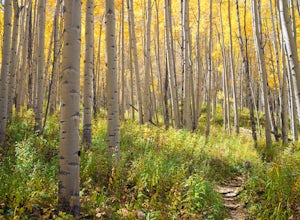
5.010 mi / 2193 ft gainThe Government Trail is beautiful and relaxing during spring and summer, but my favorite time to hike it is during fall because it goes through countless numbers of Aspen groves, which have turned a majestic yellow. After a moderate ascent for the first couple of miles, the trail become flat and ...Read more -
Aspen, Colorado
Ute Trail to Ute Rock
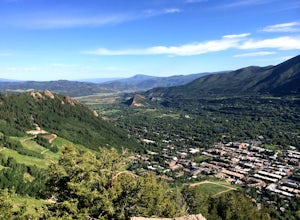
4.71.75 mi / 1122 ft gainThis shady trail of switchbacks ascends steadily (over a thousand feet in under a mile) to a rock outcropping at 9,185 feet. Yes, you can expect your heart to be pounding and to be huffing and puffing as you climb Ute Trail. But the view of Aspen that rewards you is spectacular. The trail is pre...Read more -
Aspen, Colorado
Ski or Snowboard the Burnt Mountain Glades of Snowmass
5.03.5 miThis is part of the Aspen Snowmass Ski area so you'll have to buy a ski pass to take the lift up, or if you're up for a bigger workout, put some skins on and trek up to the top of Elk Camp. The easiest way to get there is to take the Elk Camp gondola to the Elk Camp lift. Once at the top of the l...Read more -
Aspen, Colorado
Ski the Rocky Mountain High Trail at Snowmass
This is part of the Aspen Snowmass ski area so you'll have to buy a ski pass to take the lift up. The easiest way to get there is to take the Village Express lift to the top and once you get off turn left. You'll ski down the "blue" trail, Max Park, to Trestle and end at the Sheer Bliss lift. Tak...Read more -
Aspen, Colorado
Downhill Mountain Bike the Verde and Viking Trails at Aspen Snowmass
3.8 mi / 1900 ft gainThe Verde and Viking trails at Aspen Snowmass resort are long winding trails perfect for beginners and intermediates. The trails are a combination of open and forest-lined paths varying from 1 to 6 feet wide. They both do a nice job of combining large wide turns where you can keep your speed to e...Read more -
Aspen, Colorado
Hike to Spiral Point (Yin Yang), Snowmass
5.01.3 mi / 284 ft gainSnowmass Village is located 15 - 20 minutes west of Aspen Colorado off state highway 82. Once in Snowmass Village, take Brush Creek road almost to the top of the hill until the road splits with Divide road (If you have made it to the Snowmass Village mall, you have missed the road and must turn b...Read more

