Bedrock, Colorado
Top Spots in and near Bedrock
-
Moab, Utah
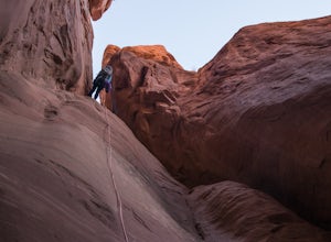
Descend Lost and Found Canyon
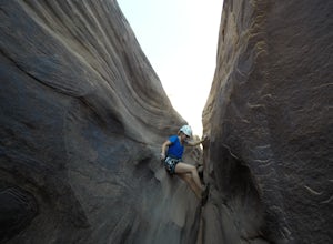
4 mi / 600 ft gainFor this descent you will need two 60 meter ropes, an Arches National Park canyoneering permit, be comfortable with 4th class slick rock, and have your usual canyoneering kit. This canyon does require some basic chimneying and canyoneering climbing techniques as well. The trailhead can be reache...Read more -
Mesa County, Colorado
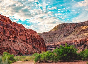
Backpack along the Gunnison River in the Dominguez-Escalante NCA
5.03.4 miIf you're looking to take your first backpacking adventure, but want something that is manageable yet thrilling, this is what you're looking for. Located along the Gunnison River in Western Colorado, the Dominguez-Escalante National Conservation area is easy to access yet full of adventure and be...Read more -
Grand County, Utah
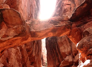
Fiery Furnace Loop
4.51.53 mi / 328 ft gainArches National Park is an incredible place with a variety of places to explore. One of the great places to explore is the Fiery Furnace. The Fiery Furnace requires a permit, which can be obtained at the Visitor Center after watching a short video. For the most part, they are making sure you are ...Read more -
Moab, Utah
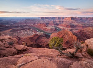
Capture Sunrise at Dead Horse Point SP
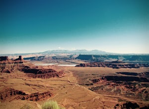
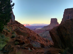
5.0Dead Horse Point State Park sits next to Canyonlands National Park with expansive views of the canyons carved by the Colorado River. The park can be accessed year-round and the best views are within feet of the parking lot. To capture the warm light of sunrise on the red rocks, head for the wes...Read more -
Moab, Utah
Hike the West and East Rim Loop at Dead Horse Point
5.04.98 mi / 928 ft gainThis is a 5.5 mile loop, if you opt out of the several in/outs to various lookout points, which extend the hike to about 10 miles -- do not opt out! These lookout points get better and better. However, you can skip the only modest part of the trail, where the West and East rims of the trail meet...Read more -
Moab, Utah
Hike the Big Horn Overlook Trail
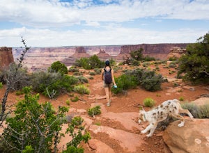
4.03.5 mi / 0 ft gainAs a pet owner, you probably know that bringing your pooch along on your National Park adventures can be a frustrating experience. Most of our Parks do not allow pets on trails, and for several good reasons, but if you bring your dog(s) with you to Moab country, you’ll be happy to know that there...Read more -
Moab, Utah
Mountain Bike the Intrepid Trail System in Dead Horse Point SP
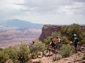
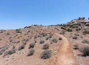
5.014 miIf you're visiting Moab for some mountain biking, this is a great place to start. There's nothing too technical and plenty of route options and points to bail out if you're getting tired. Perhaps more importantly, you don't have to work that hard to find some quality riding and classic Moab views...Read more -
Moab, Utah
Hike the Cave Spring Loop in the Needles District
4.00.6 mi / 35 ft gainThe Cave Spring Trail within Canyonlands National Park takes visitors past some well preserved pictographs and a cowboy camp complete with many original artifacts, all located in bluff "caves" below the overhanging cliffs of a low mesa. The path later climbs to the top via a pair of wooden ladde...Read more -
Moab, Utah
Mountain Bike the Moab Brand Trails
5.010 mi / 200 ft gainThe Moab Brand Trails are a series of trails about 7 miles north of the Colorado River, north of Moab. They get their name from four of the major trails that spell out "MOAB." They include the Bar M, Circle O, Rockin A and Bar B. I was curious how they came to the names and my local bike shop m...Read more -
Moab, Utah
Explore the Willow Springs Dinosaur Tracks
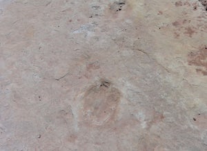
4.0I'm always find dinosaur tracks fascinating. Willow Springs has a few cool tracks not as defined as others but definitely noticeable. There is also an interpretive sign describing the tracks installed by the Bureau of Land Management. To find the tracks, drive north on 191. Over the Colorado Rive...Read more -
Grand County, Utah
Broken Arch and Sand Dune Arch
5.01.5 mi / 187 ft gainStarting at the Sand Dune Trailhead, there is a trail among the brush, which is pretty well marked. Just after starting, you'll see some fins on your right with a sign indicating the Sand Dune Arch. This is a short 0.2mi spur trail that leads to an arch surrounded by tall fins. To keep going, fo...Read more -
Grand County, Utah
Devils Garden Campground
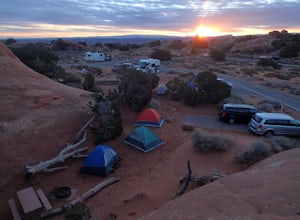
4.0This popular campground houses 50 campsites. Keep in mind that since it's the only campground in Arches, it can be crowded from March through October, so get on it early. This campsite not only provides easy access to landmarks like the delicate arch, but also provides very convenient access to t...Read more -
Moab, Utah
Skyline Arch
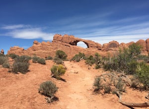
0.48 mi / 62 ft gainStarting from the parking you can see the arch. At the start of the trail there is a small sign with information about Skyline Arch. From here the trail is very straightforward and leads you up to the base of the arch. This hike may be short but it still gives you great views over Salt Valley and...Read more -
Moab, Utah
Backpack the Lathrop Canyon Trail in Canyonlands
18 mi / 2130 ft gainAccess to this trailhead is a few miles south of the Islands in the Sky Visitor Center in Canyonlands National Park. An easy drive from Moab or Interstate 70. Remember to get permits and check in with the rangers if camping. If just doing a day hike then no permits are needed. REMINDER: There is ...Read more -
Moab, Utah
Rock Climb Dragonfly Canyon
5 mi / 400 ft gainThis canyon is a bit more advanced as it requires a mandatory swim and most likely a section of wet pot holes to surmount which, if dry, can also pose their own challenge. You will need standard canyoneering gear as well as two 60m ropes for the last rappel. Start by parking on a small pullout on...Read more -
Moab, Utah
Pine Tree Arch
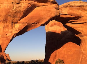
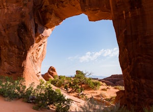
3.01.03 mi / 56 ft gainPine Tree Arch is one of several gorgeous arches in the Devil's Garden Area of Arches National Park, and is easily done as a quick detour on the way to the popular Landscape Arch. It is accessed from the Devil's Garden Trailhead, itself approximately 18 miles from the park entrance. From the Tra...Read more

