Bayfield, Colorado
Looking for the best hiking in Bayfield? We've got you covered with the top trails, trips, hiking, backpacking, camping and more around Bayfield. The detailed guides, photos, and reviews are all submitted by the Outbound community.
Top Hiking Spots in and near Bayfield
-
Telluride, Colorado
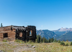
Explore Alta Ghost Town
5.00.5 miAlta Ghost Town is located about 10 miles from Telluride on Alta Lakes Road. Take the rugged dirt road approximately 2 miles until the ghost town appears on the left. Hike up the short trail to view the remnants of the old mining town with many of the buildings still standing, including the impre...Read more -
Mesa Verde National Park, Colorado
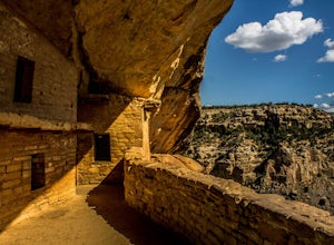
Explore Balcony House
5.00.5 miStarting at the trail head at 7,000 feet, you will head down the trail until you get to the cliff dwellings. There will be a wooden ladder you will have to climb, a recreation of the ladder used hundreds of years ago by the tribes living there. Once you get to the top of the ladder, the trail wil...Read more -
Mesa Verde National Park, Colorado
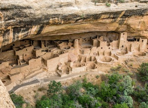
Hike the Cliff Palace Loop Trail
5.00.4 mi / 127 ft gainTickets for this tour are $4 per person and are available at the visitor center near the entrance of the park. This tour is best taken from April to November. This hike features The milky way is often visible from the top of Mesa Verde at night. This one-hour, ranger-guided tour involves climbin...Read more -
Silverton, Colorado
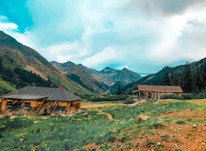
Explore Animas Forks
5.00.25 mi / 40 ft gainThe ghost town of Animas Forks, CO is located in the San Juan Mountains at an elevation of 11,200 feet. There are several original buildings remaining. The best way to explore the region is by Jeep or other high-clearance 4×4. The cabins began being built by prospectors in 1873. Three rivers meet...Read more -
Ophir, Colorado
"Iron Way" Telluride Via Ferrata
3.15 mi / 974 ft gainThe Via Ferrata is an incredible way to enjoy Telluride from above. If you and your group have rock climbing experience this will be right up your alley. If no experience rock climbing there are guided options with great shops from town that will help you along this route. Hike up to Bridal Veil...Read more -
Mesa Verde National Park, Colorado
Hike the Spruce Canyon Trail
5.03.1 mi / 754 ft gainThe Spruce Canyon trail is very well taken care of. The trail begin with a descent into Spruce Tree Canyon and then follows a stream for 3/4 of a mile before climbing a side canyon back up to the ridge. The trailhead is located on the Chapin Mesa within Mesa Verde National Park. The trail is open...Read more -
Mesa Verde National Park, Colorado
Hike the Petroglyph Point Trail
4.02.7 mi / 698 ft gainPick up a trail brochure for information on the interpretive signs. There are some steep and narrow portions of the trail, so make sure everyone in your party is of able physical capability.Read more -
Ridgway, Colorado
Running to Grizzly Bear Mine
Bear Creek Trail, which leads to Grizzly Mine, is located just 2 miles outside of Ouray, Colorado on Highway 550 immediately following the first tunnel. There's two parking lots, a large one and a small one, the trail leads from the small parking lot over the tunnel and highway. There are no bath...Read more -
Telluride, Colorado
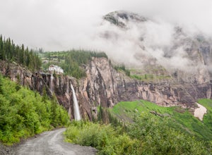
Hike to Bridal Veil Falls in Telluride
5.02.4 mi / 850 ft gainPark at the Pandora Mill just east of Telluride and lace up your footwear of choice. At 1.2 miles to the base of the falls with 850 feet of gain, this can make for a great thigh burning hike or run. The trail is a gravel road that eventually passes a gate to further trails up the Bridal Veil Ba...Read more -
Lake City, Colorado
Hike Redcloud and Sunshine Peaks
5.012 mi / 4800 ft gainThe easier drive to the Silver Creek / Grizzly Gulch trailhead is reached by traveling south from Lake City and turning right onto County Road 30. Although parts can be rough and the shelf road around the base of Sunshine Peak may cause a tighter grip on the steering wheel, in dry conditions a hi...Read more -
Mesa Verde National Park, Colorado
Explore the Far View Sites Complex
4.50.75 miThe Far View Community is located four miles north of the Chapin Mesa Archeological Museum. In around 800 AD, the Ancestral Pueblo people lived in this area for several centuries. They mostly farmed the mesa tops, but were also hunters. It was one of the most densely populated regions of Mesa Ver...Read more

