Wishon, California
Looking for the best photography in Wishon? We've got you covered with the top trails, trips, hiking, backpacking, camping and more around Wishon. The detailed guides, photos, and reviews are all submitted by the Outbound community.
Top Photography Spots in and near Wishon
-
Mariposa County, California
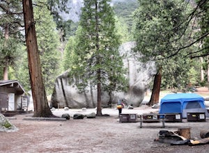
Camp at Camp 4, Yosemite NP
4.5Camp 4 is located in Yosemite Valley near Yosemite Valley Lodge. It's a popular spot for climbers as there is bouldering within the site. It's also located close to the Upper Yosemite Falls trail. Pets are not allowed. First come, first serve, $6/night. More info at https://www.nps.gov/yose/plany...Read more -
37.741904,-119.601967
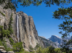
Upper Yosemite Falls
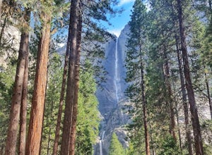
4.75.98 mi / 2700 ft gainYou can find the trailhead to Upper Yosemite Falls near Camp 4. There is plenty of free parking here and you can also take a shuttle to stop #7. Be sure to start this hike early in the day as it is strenuous and can get really hot as the day goes on. Bring plenty of water and snacks and take many...Read more -
Yosemite Valley, California
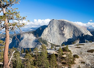
Hike the North Dome Loop via Yosemite Falls Trail
4.018 mi / 5200 ft gainOne ofthe most challenging and rewarding hikes on the northern rim of YosemiteValley. This is an alternative to the often crowdedMist, Panorama or 4-Mile Trails. Or if you are not able to grab a permit tohike Half Dome this is great choice. Some of the highlights include hiking tothe top of Nort...Read more -
Yosemite Valley, California
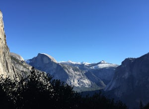
El Capitan Trail
5.014.68 mi / 5052 ft gainStart on the Yosemite Falls trailhead and work your way up. Yosemite Falls can be anywhere from a huge flow to a slow trickle depending on the time of year. Hiking boots are absolutely necessary and hiking poles are a huge benefit. Say hello to rock climbers at the top as they finish their El Cap...Read more -
YOSEMITE NATIONAL PARK, California
Rock Climb Penthouse Cracks, Yosemite NP
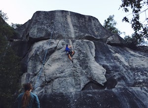
The Penthouse Cracks in Yosemite Valley are a great introduction to crack climbing, in a safe environment. With fixed protection above the routes, you are able to safely top rope these climbs. Featuring a 5.8, two 5.10 climbs, and a 5.11, everyone can find something fun to try.Park at Yosemite Lo...Read more -
Yosemite Valley, California
Sentinel Meadow Cook's Meadow Loop Trail
4.51.99 mi / 85 ft gainThis short, easy walk provides some of the best views of several iconic Yosemite landmarks from the valley floor. If you complete the entire loop, expect to see Yosemite Falls from the Swinging Bridge, Half Dome from Sentinel Bridge (a popular spot at sunset), and the historic Yosemite Chapel. ...Read more -
Mariposa County, California
Lower Yosemite Falls
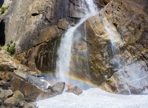
4.81.16 miAt 2,425 feet, Yosemite Falls is the highest waterfall in North America. The falls consists of three sections: Upper Falls, Middle Cascades, and Lower Falls. At 320 feet, Lower Yosemite Falls is one of the most popular attractions at Yosemite National Park. This 1-mile loop is a leisurely walk wi...Read more -
Yosemite Valley, California
Photograph Moonbows at Yosemite Falls
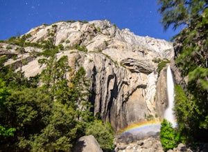
1 miIn spring at Yosemite National Park, a unique phenomenon occurs, called “moonbows.” Seen during the full moon, moonbows are rainbows produced by light reflected off the surface of the moon, and are relatively faint and difficult to detect with the naked eye, but they do appear in long exposure ph...Read more -
Shaver Lake, California
Camp at Voyager Rock Campground
4.0The paved road ends at the Maxson Trailhead parking lot on the SE side of Courtright Reservoir. The adventure starts with a glance to the left, down a rock-strewn dirt track that leads off further into the wilderness. You're wondering, "Is that the trail?" and "Do I dare?"The Dusy-Ershim Trail of...Read more -
Mariposa County, California
Camp at Crane Flat Campground
Crane Flat Campground is located on the Big Oak Flat Road (Highway 120) just west of Crane Flat, about 30 minutes northwest of Yosemite Valley. Sites are open July-October at $26/night. More info at https://www.nps.gov/yose/plany...Read more -
Tuolumne County, California
Tuolumne Grove of Giant Sequoias
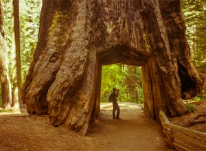
4.22.67 mi / 653 ft gainThe Tuolumne Grove of Giant Sequoias is one of three sequoia groves in Yosemite National Park. This particular grove has gorgeous forest scenery and provides great solitude compared to the crowded Yosemite Valley. The trail used to be an old road offering a wide path with a gradual descent, makin...Read more -
Mammoth Lakes, California
McLeod Lake
5.01.84 mi / 390 ft gainStart your journey at the Mammoth Pass Trailhead at the back of the parking lot for Horseshoe Lake. From the start, the trail ascends steadily through dense pines, and big granite stair steps. Although it is a moderately steep route (and the altitude doesn't help), it is only about 0.6 miles to ...Read more -
Mammoth Lakes, California
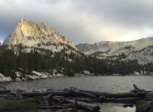
Crystal Lake via Mammoth Crest Trail
4.82.5 mi / 1257 ft gainIn Lake George, park along Lake George Road and walk towards Crystal Crag Trailhead sign to begin the hike. If you couldn't find it, you can head to the boat rentals by the lake and you will see a sign saying trailhead is behind you. The trail is well maintained and it is really easy to follow. ...Read more -
Mariposa County, California
Olmsted Point
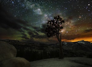
5.00.4 miJust off the side of the highway, look for the pullout for Olmsted Point on your Map. There is a parking area with about 25 parking spots and the lookout point with the tree is right next to there. Come in the summertime and during a new moon to get the best views of the Milky Way. Never crowded,...Read more -
Mammoth Lakes, California
Agnew Meadows to Tuolumne Meadows
5.030.27 mi / 4757 ft gainUnlike most through hikes that require two cars or hitchhiking, you can accomplish this with only one car by using a YART. Another benefit is that by entering in Mammoth, it is usually much easier to get permits as opposed to starting in Yosemite where permits can be harder to get. Then once yo...Read more -
Mammoth Lakes, California
Backpack from Mammoth Mountain to Yosemite Valley via the John Muir Trail
5.052 mi / 6300 ft gainCross country hiking can be a daunting idea. There are so many things to plan for, and such a long distance to cover. If you are an experienced backpacker, and you want to get a taste of hiking on the John Muir Trail this hike might interest you. Planning GPS Map (Caltopo): https://caltopo.com...Read more

