Whitewater, California
Looking for the best photography in Whitewater? We've got you covered with the top trails, trips, hiking, backpacking, camping and more around Whitewater. The detailed guides, photos, and reviews are all submitted by the Outbound community.
Top Photography Spots in and near Whitewater
-
Riverside County, California
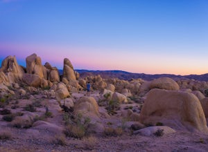
Camp at Joshua Tree's White Tank Campground
5.0White Tank Campground is in the perfect spot to get a taste of all that Joshua Tree has to offer. As a central location to nearby hiking and climbing, it is easy to access the various parts of the park. Removed from the border of the park, White Tank doesn't attract as many visitors as the more p...Read more -
Riverside County, California
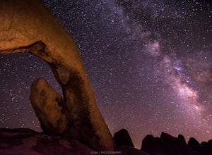
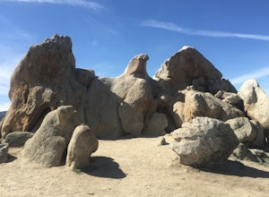
Night Shoot at Arch Rock
4.7If you're setting up camp, be sure to check out White Tank Campground, which is home to one of the most epic rock formations. The Arch is located here. It's only about 1/2 round trip of walking to this spot. Geology Tour Road offers some flat wide open views of Joshua Trees in all directions. If ...Read more -
San Bernardino County, California
Aztec Falls
3.31.23 mi / 16 ft gainFrom Lake Arrowhead, take the 173 to Hook Creek Road until you dead end onto Squint Ranch Road. Take a right at the first fork in the road, and park in the lot for Splinters Cabin. The dirt road can be a bit rocky and might not be the best for small cars. Once you're there, be sure to display you...Read more -
Temecula, California
Dripping Springs Trail
4.013.68 mi / 3287 ft gainThe trail immediately begins to climb out of the campground on a well-graded incline. The next mile contains some climbing leading to a set of switchbacks. A long strenuous climb ensues until the 3200' elevation is reached. The trail then makes an easy southward traverse to the basin before resum...Read more -
Riverside, California
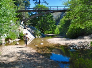
Hike Two Trees Trail
2.5 mi / 977 ft gainParking is free at the trailhead, but there is only room for approximately five cars. The trailhead is on the edge of a neighborhood, so you can park there if needed. From the parking lot, head west, and immediately veer right and across the bridge. If you go left at the first fork, you can stay ...Read more -
San Diego County, California
Hike Sheep Canyon
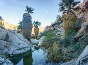
5.03 mi / 1000 ft gainSheep Canyon is probably the most remote palm canyon in Anza-Borrego Desert State Park in California. While Palm Canyon is easily accessed from the State Park campground, Sheep Canyon is on a dirt road that requires stream crossings and potentially a high-clearance 4WD vehicle. The canyon is nam...Read more -
Riverside County, California
Photograph the Cholla Cactus Gardens
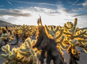
4.40.25 mi / 0 ft gainThe Cholla Cactus Garden is something everyone can appreciate and enjoy. The trail is in total about a 0.25 loop, but you are certainly free to wander around more. Plan on spending at least 30 minutes to an hour enjoying the scenery. If you are a photographer, you will be enthralled by the light...Read more -
Mecca, California
Hike Ladder Canyon in Mecca Hills
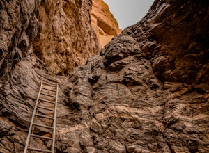
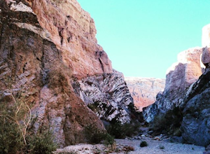
5.04.5 mi / 990 ft gainFrom Box Canyon Road turn on to Painted Canyon Road a dirt road that will lead you to the trailhead. From the trailhead start into the canyon. After a few hundred feet there will be rocks forming an arrow pointing you towards a ladder. Go up the ladder and follow the trail from here. There will b...Read more -
Riverside County, California
Night Hike Painted Canyon
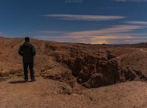
Take Box Canyon Rd to Painted Canyon Road. Painted Canyon Road is a dirt road, so exercise caution. The road dead ends at the Painted Canyon Trailhead parking lot.Once on the trail, look out for markers and arrow rock piles pointing to the slot canyons and other trails. Some climbing is necessary...Read more -
Mecca, California
Hike the Ladder Canyon/Painted Canyon Loop
5.04 mi / 2215 ft gainFrom Interstate 10, take State Highway 195 (Box Canyon Road) to Painted Canyon Road. This well-maintained, dirt road goes for about 4 miles and leads into the sandy wash which runs the length of the canyon for approximately 1.7 miles. There are a few narrow side canyons which can be explored on f...Read more -
Palomar Mountain, California
Hike to Palomar Observatory from the Palomar Observatory Campground
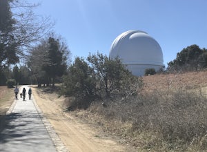
5.04.4 mi / 718 ft gainSituated in the Palomar Mountains of Cleveland National Forest, Palomar Observatory Campground offers many amenities for enjoyable camping and exploring the area. A portion of the campsites loop has been cleared of trees with level cement pads to allow campers to set up their own telescopes. Dr...Read more -
Riverside, California
Hike Mt. Rubidoux
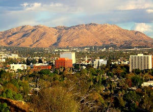
4.32.7 mi / 500 ft gainFeaturing over 161 acres and over 3.5 miles of combined paved and dirt trails, Mount Rubidoux Park in Riverside, CA is a beautiful natural environment and adventure location. Although some say this is just a "hill", this Inland Empire gem offers a quick escape from the pace of city life. Just m...Read more -
Crestline, California
Hike the Heart Rock Trail
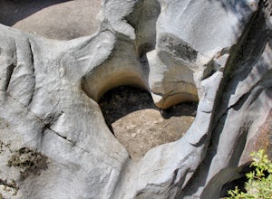
4.51.8 miThis short but nice hike near Crestline, CA in the San Bernadino Forest is one for the whole family. Although finding the trailhead/parking lot can be a bit confusing, it is definitely worth it. Driving in from the Inland Empire/LA Area, follow The Rim of the World Trail (SH18) until you see the...Read more -
Warner Springs, California
Eagle Rock via the Pacific Crest Trail
5.06.2 mi / 807 ft gainWith doing more hikes in the SoCal area, I've realized half the battle is just trying to find the damn trailhead.Technically you have 2 ways to enter this trail ... Start from 79 and add a very enjoyable extra 3ish miles, or start from the Warner Springs Fire Station, for a total 7 mile hike.We c...Read more -
Lake Elsinore, California
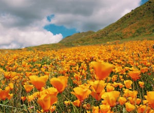
Explore Walker Canyon
4.3Walker canyon is within easy driving distance from most places in Orange County and San Diego which makes for a great day trip. While there is no official parking lot for the trail you will be able to find parking all along Lake Street and Walker Canyon Road. The trail begins at the corner of L...Read more -
Borrego Springs, California
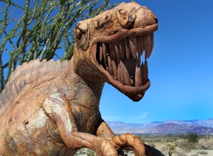
Anza Borrego Metal Sculptures
4.6Here's a map I made that marks where most of the sculptures are (here). First, you enter the park and drive through the little city of Borrego Springs. There will be a roundabout you can't miss, so you know you're on the right path. There is nowhere to park to get to the sculptures specifically,...Read more

