Whitewater, California
Looking for the best hiking in Whitewater? We've got you covered with the top trails, trips, hiking, backpacking, camping and more around Whitewater. The detailed guides, photos, and reviews are all submitted by the Outbound community.
Top Hiking Spots in and near Whitewater
-
Forest Falls, California
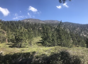
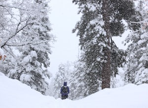
Summit Mt. San Bernardino from Angelus Oaks
16 mi / 4775 ft gainThe trailhead is somewhat 'interesting' to get to given the dirt roads are in questionable shape and some of the roads in Angelus Oaks are not easily identifiable but I didn't have any problems finding it by closely following Google Maps. Trailhead parking requires an Adventure Pass parking pe...Read more -
Desert Hot Springs, California
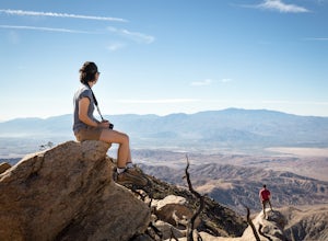
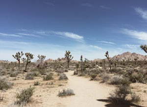
Inspiration Peak in Joshua Tree
1.81 mi / 425 ft gainMost automobile-bound visitors to Joshua Tree make their way to Keys View, and why wouldn't they? It has some of the best views in the park and with it, some of the biggest, loudest crowds. Most don't realize that a short hike away is even *better* views and, if you're lucky, solitude, on top of ...Read more -
Mountain Center, California
Cactus Spring Trail
31.73 mi / 6407 ft gainCactus Spring Trail is an out-and-back trail where you may see wildflowers located near Mountain Center, California.Read more -
La Quinta, California
Hike to Lake Cahuilla
4.55.41 mi / 183 ft gainFrom Hwy. 111 take Washington (South) 3 miles to Avenue 52 (Turn Right). Take Avenue 52 a 1/2 mile to Avenida Bermudas (Turn Left). Follow Avenida Bermudas for 2 miles (becomes Calle Tecate). Cove Trailhead & Parking Lot located on the left across from Avenida Ramirez. You'll start heading ou...Read more -
La Quinta, California
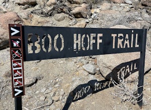
Boo Hoff Trail
12.7 mi / 2323 ft gainBoo Hoff Trail is a loop trail where you may see wildflowers located near La Quinta, California.Read more -
Big Bear Lake, California
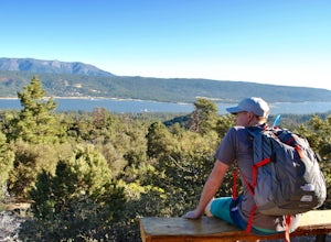
Grand View Point
6.9 mi / 1312 ft gainGrand View Point is accessed via Pine Knot Trail, a 6.5 mile out and back hiking trail located at the Aspen Glen Picnic Area, 1 mile from Big Bear Village. With its close proximity to town, Pine Knot Trail is popular in the summer with mountain bikers and the trailhead is often crowded in the win...Read more -
Twentynine Palms, California
Willow Hole Trail in Joshua Tree National Park
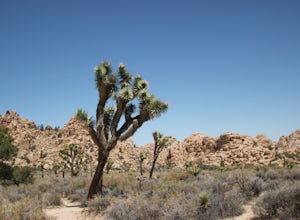
6.8 mi / 341 ft gainThe Willow Hole hike begins at Boy Scout trailhead and winds past and through the Wonderland of Rocks to a marshy stand of willows. The trail is flat, but with little shade so be sure to bring lots of water! As you leave the parking lot you'll enter an expansive stand of Joshua Trees that grows...Read more -
Big Bear, California
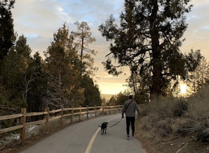
Alpine Pedal Path
5.05.08 mi / 292 ft gainAlpine Pedal Path is an out-and-back trail that takes you by a lake located near Big Bear Lake, California.Read more -
Riverside County, California
Hike to Lost Horse Mine
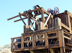
4.09 mi / 545 ft gainTo get to the trailhead, take Key's View Road from Park Blvd for around 2.5 miles and turn left onto a dirt road. The trailhead is at the end of this road. From here, you have the option to do the 6.1 mile loop or the 4 mile roundtrip out and back. This trail takes you through a beautiful desert ...Read more -
Riverside County, California
Cap Rock Nature Trail
3.00.75 mi / 161 ft gainThere are two Joshua Trees guarding the trail, which makes for a perfect photo op. There are some monzogranite rock formations (of which the park is famous for). Watch for bunnies and lizards! The trail is handicap accessible, so parents with young children in strollers or those in wheelchairs ca...Read more -
Twentynine Palms, California
Climb The Spire in Joshua Tree National Park
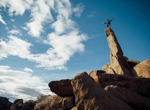
0.75 miPark at the Hidden Valley Nature Trailhead. Instead of going into Hidden Valley, follow the obvious climber's trails to the Southwest for about 3/4 mile keeping the rocks of Hidden Valley on your right. The trail wraps around the outside edge of Hidden Valley, turning Northwest. After about 20 mi...Read more -
Riverside County, California
Hidden Valley Nature Trail
4.41.03 mi / 164 ft gainTurn off of Park Blvd near Intersection Rock (there will be signs for the turn) and follow the paved road for about a minute. There is a large parking lot with many picnic tables. The trail begins with a slight uphill of around 100 ft and continues through a opening between two large rocks. Af...Read more -
Riverside County, California
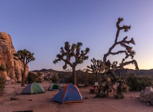
Camp at Ryan Campground in Joshua Tree NP
5.0The Ryan Campground is but one of many beautiful campgrounds in Joshua Tree National Park. It is located just south of the Hidden Valley use area. There are 31 sites as well as a horse camp. This campground does not have water, but does have pit toilets.For weekend trips into Joshua Tree, it is o...Read more -
Twentynine Palms, California
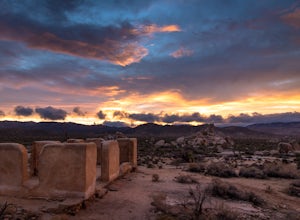
Ryan Ranch
0.75 mi / 56 ft gainIf you're in Joshua Tree, this is a great spot for sunset. A short, maybe 1/2 mile hike to the old ranch from the parking lot. We stayed at Ryan Campground and just walked in from there, about the same distance. Make sure to bring your camera, especially if there are spotty clouds in the sky a...Read more -
Twentynine Palms, California
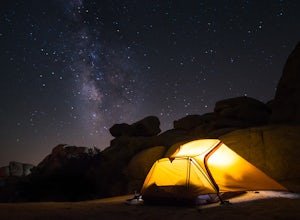
Camp at Hidden Valley in Joshua Tree
4.8Joshua Tree National Park is known for its world class rock climbing, out of this world landscapes, and some of the darkest skies around. Having a base camp inside of the park is incredibly important as it's quite massive and I found that Hidden Valley Campground is strategically placed smack dab...Read more -
Big Bear, California
Cougar Crest Trail
5.05.57 mi / 892 ft gainOn the north side of Big Bear Lake, just off the 38, you will find a turn off for the Cougar Crest Trail. The parking lot is well marked, and signs for the trailhead are easy to spot. Parking is not an issue if you come in later in the afternoon, but the hike can get crowded during peak hours. Fo...Read more

