Warner Springs, California
Looking for the best hiking in Warner Springs? We've got you covered with the top trails, trips, hiking, backpacking, camping and more around Warner Springs. The detailed guides, photos, and reviews are all submitted by the Outbound community.
Top Hiking Spots in and near Warner Springs
-
San Diego, California
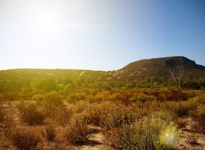
Black Mountain via Nighthawk Trail
5.04.05 mi / 764 ft gainStarting at the trail head at the end of Oviedo way, you will see a power line on top of the small hill across from the rec center, which is the start of the South Point View Trail. Follow this trail about a mile until you see a sign for the 'Little Black Mountain Loop' . This is a 4.1 mile loop ...Read more -
Palm Springs, California
Winter Climb San Jacinto from the Tram
5.08 mi / 2400 ft gainIntermediate: No snow.Advanced: Lots of snow.Expert: Snow w/ high winds and low temps. GPX: https://www.gaiagps.com/datasu... San Jacinto, at 10,834 feet, is the second-highest peak in the Southern California. It's unique in that it has a rotating tram car (think slow motion disco floor) that r...Read more -
Palm Springs, California
Scramble Cornell Peak
3.5 mi / 1000 ft gainEntering Mt San Jacinto State Park via the Palm Springs Aerial Tram is one of the easiest ways to get into the wilderness area. Purchase your ticket and ride to the station where you'll be able to walk out the backdoor and onto the trail. In order to get to Cornell, your route finding skills wil...Read more -
Palm Springs, California
Skyline Trail to Aerial Tramway Top Station
5.09.41 mi / 8238 ft gainSkyline Trail to Aerial Tramway Top Station is a point-to-point trail where you may see beautiful wildflowers located near Palm Springs, California.Read more -
Palm Springs, California
Museum Trail
1.52 mi / 860 ft gainThe Museum Trail is a very steep climb with a 1,000 feet elevation gain in just one mile but has some great views of downtown Palm Springs. The hike starts behind the Palm Springs Art Museum. This trail can also access the Cactus to Clouds Trail that goes all the way to the top of Mt. San Jacinto...Read more -
Carlsbad, California
Hike and Fish at Lake Calavera
4.06.24 miLake Calavera Preserve is located in Carlsbad, CA and is home to one of North America's smallest volcanoes. It is the end peak of each trail and is what's known as a "volcanic plug" (cool hardened lava). The northern face of Mount Calavera is that of columnar joints- columns of molded lava. Geolo...Read more -
Palm Springs, California
North Lykken Trail from W. Crescent Drive
1.67 mi / 906 ft gainNorth Lykken Trail from W. Crescent Drive is an out-and-back trail that takes you past scenic surroundings located near Palm Springs, California.Read more -
San Diego, California
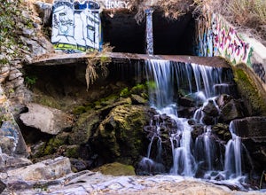
Explore Chambers Hidden Dam and Waterfall
3.20.5 miOnce you get off on Poway road, turn right onto Sabre Springs Parkway. Take your immediate left onto Creekbridge Road and park right there on the hill. Walk straight down towards the black gate and go down the hill. Turn right on the trail and walk down 1/4 mile to the dam, and another 500 yards ...Read more -
Borrego Springs, California
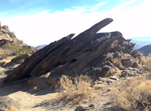
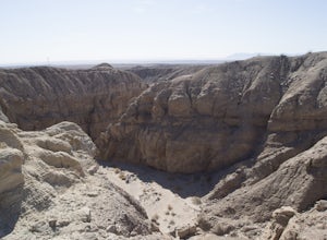
Hike the Calcite Mine Trail in the Anza-Borrego Desert
4 mi / 830 ft gainOpen from March until October - but I would not particularly recommend this hike in the summer months, unless you started in the wee almost dark hours. This is the desert and it gets hot early and quickly.This is a former calcite mine with slot canyons, great rock formations and some shady areas ...Read more -
Julian, California
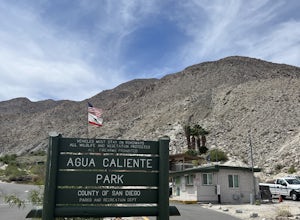
Agua Caliente Hot Spring
5.01.53 mi / 164 ft gainAgua Caliente Hot Spring is an out-and-back trail that takes you by a hot springs located near Julian, California.Read more -
San Diego, California
Los Penasquitos Canyon Loop
3.36.77 mi / 131 ft gainLos Penasquitos Canyon Loop After about a five minute hike on the trail you will start to enter into Los Penasquitos Canyon. Every section of the trail is different, one minute you are walking next to a stream with trees arching over the trail and another minute you are walking through an open f...Read more -
Mount Laguna, California
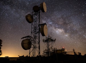
Night Shoot at Mt. Laguna USAF Station
This is a great stop when passing through the Anza Borrego Desert. The drive is very scenic, and passes through Sunrise Highway. Once you turn off the road, it's a very short drive up the hill where you will find a large spot to leave your car. There is a service gate that you can't drive through...Read more -
San Diego, California
Los Penasquitos Waterfall via Los Penasquitos Canyon Trailhead
4.34.15 mi / 115 ft gainThe Los Penasquitos Preserve waterfall is a hidden gem of San Diego and a popular spot for locals within the area. The hike to the waterfall lies within a preserve of approximately 4,000 acres. There are many different trailheads that lead to the waterfall all offering a unique experience. I alwa...Read more -
Mount Laguna, California
Red Trail Roost and Agua Dulce Trail Loop
4.04.63 mi / 591 ft gainRed Trail Roost and Agua Dulce Trail Loop is a loop trail where you may see wildflowers located near Julian, California.Read more -
Santee, California
Kwaay Paay Trail
2.4 mi / 846 ft gainPark your car in the small gravel parking lot at the southwest corner of Father Junipero Serra Trail and Bushy Hill Drive (this is especially important if you plan to take the sunset hike, so you'll be outside the locked park gate when you descend). There will be other hikers parked there, but I'...Read more -
Canyon Lake, California
Kabian Memorial Park Loop
5.03.48 mi / 335 ft gainKabian Memorial Park Loop is a loop trail that takes you by a lake located near Quail Valley, California.Read more

