Upper Lake, California
Looking for the best hiking in Upper Lake? We've got you covered with the top trails, trips, hiking, backpacking, camping and more around Upper Lake. The detailed guides, photos, and reviews are all submitted by the Outbound community.
Top Hiking Spots in and near Upper Lake
-
Jenner, California
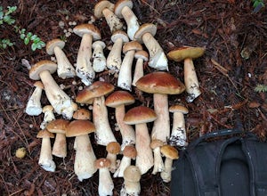
Bolete Mushroom Hunting
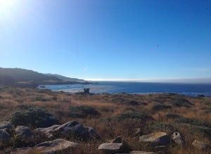
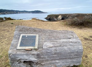
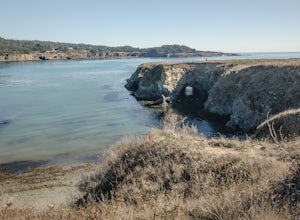
Salt Point State Park is a state park in Sonoma County, California, United States. The park covers 6,000 acres (2,400 ha) on the coast of Northern California, with 20 miles (32 km) of hiking trails and over 6 miles (9.7 km) of a rough rocky coast line including Salt Point which protrudes into the...Read more -
Point Arena, California
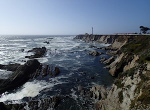
Explore the Point Arena Lighthouse and Trail
5.00.5 miPoint Arena Lighthouse is situated on the piece of land that is the closest to the Hawaiian Islands from the continental United States. The lighthouse stands at 115 feet high and you are able to go to the top. I did not have time for this, unfortunately but definitely something I will take advant...Read more -
Jenner, California
Camp and Dive at Salt Point State Park
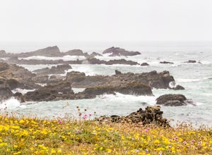
4.7Camping at Salt Point Sate Park is a dream. You have your choice of camping by the sea at Gerstle Cove campground, or tucked up into the forest at the Woodside campground…and you can’t go wrong with either choice.The rugged and beautiful coastline here is a popular destination for abalone diving ...Read more -
Jenner, California
Hike the Salt Point Trail
3.73 mi / 100 ft gainThere are numerous points at which you can enter the trail from Highway 1, but on the north it begins as the Salt Point / Stump Beach Parking area and proceeds 1.2 miles to the Visitor Center (and south entrance) at the Gerstle Cove State Marine area, one of the first underwater state parks in Ca...Read more -
Calistoga, California
Camp at Bothe-Napa Valley SP
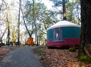
4.5Looking for a romantic getaway but you’d prefer to spend your nights around a campfire? This adventure is for you. This beautiful Napa Valley campground has it all – 10 miles of hiking trails, 1,900 acres to explore, and…new yurts! Yurts are basically cool circular tents that allow you enjoy the ...Read more -
Mendocino, California
Fern Canyon Scenic Trail
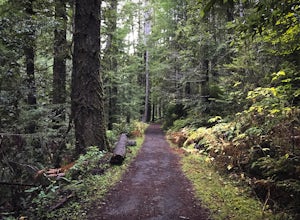
5.07.71 mi / 787 ft gainThe Fern Canyon Trail system is the main hiking vein of Van Damme State Park. This particular hike is on a mostly flat, wide trail through dense, green forest of California Redwoods, Cypress, Pines, and giant ferns. The trail is paved but typically carpeted in soft pine needles. Come in the rainy...Read more -
Mendocino, California
Mendocino Headlands Trail
5.04.15 mi / 171 ft gainMendocino Headlands Trail is an out-and-back trail where you may see wildflowers located near Mendocino, California.Read more -
Mendocino, California
Mendocino Cliffs Trail
5.01.37 mi / 108 ft gainThe town of Mendocino is as charming and quaint as one can find. It is no wonder why it was pegged as the perfect location spot to film the series Murder She Wrote. While the series heroine Jessica Fletcher's home can still be visited, it is the bay itself that will draw your attention. Startin...Read more -
Mendocino, California
Camp at Russian Gulch State Park
Just two miles north of Mendocino, you'll find this beautiful, well-maintained park that features a little bit of everything. The campsite is situated between a rugged beach and a stunning 36-ft waterfall, giving you plenty of easy and fun options.This park is most well known for the heavily fore...Read more -
Monte Rio, California
Islands in the Sky Vista Loop
4.03.83 mi / 883 ft gainThe Islands in the Sky Vista Loop in Monte Rio, California, is a moderately challenging hiking trail. Spanning approximately 3.83 miles, the loop offers a variety of terrain, including forested areas, open meadows, and rocky outcrops. The trail is well-marked and maintained, making it suitable fo...Read more -
Santa Rosa, California
Santa Rosa Creek Trail: Willowside Road to Fulton Road
4.2 mi / 46 ft gainSanta Rosa Creek Trail: Willowside Road to Fulton Road is an out-and-back trail that takes you by a river located near Sebastopol, California.Read more

