Twain, California
Twain, California is your go-to destination for top outdoor adventures. Among the must-visit attractions is the Pacific Crest Trail, a challenging hike that rewards you with stunning views of the Sierra Nevada and Cascade mountain ranges. The trail features unique rock formations and a variety of flora and fauna. If you prefer water activities, Feather River is nearby, offering opportunities for fishing and rafting. For a more relaxed outdoor activity, you can enjoy a picnic by the beautiful Lake Almanor, surrounded by scenic views of lush greenery. Don't miss a trip to the Lassen Volcanic National Park, home to steaming fumaroles and clear mountain lakes. Explore the best Trails and Outdoor Activities in and near Twain for a memorable trip.
Top Spots in and near Twain
-
Shasta County, California
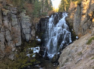
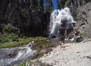
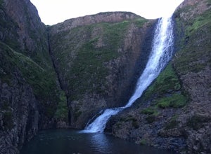
Kings Creek Falls Trail
4.02.49 mi / 495 ft gainKings Creek Falls Trail is an out-and-back trail that takes you by a waterfall located near Old Station, California.Read more -
Sierra City, California
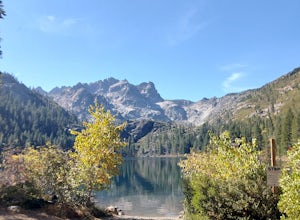
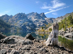
Relax at Sand Pond
5.0Sand Pond is a great place to relax after a day of hiking or paddling. It's located between Sardine Lake Campground and Lower Sardine Lake and is an easy 10 min walk from the campground. Sand Pond has beautiful views of the mountains and is a great place to watch the sunset. There are small fish ...Read more -
Sierra City, California
Camp at Sardine Lake Campground
5.0This campground is first come first serve and is located near Lower Sardine Lake. There are a couple bathrooms located around the loop. Most campsites have trees, perfect for hammocking and shade. The campsite has great views of the mountains. There are a couple hiking trails nearby. Lower Sard...Read more -
Old Station, California
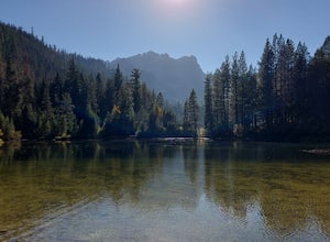
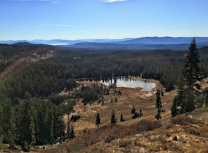
Bumpas Hell to Cold Boiling Lake
4.05.32 mi / 1007 ft gainBumpas Hell to Cold Boiling Lake Trail is an out-and-back trail that takes you by a lake located near Old Station, California.Read more -
Shasta County, California
Seven Lake Loop in Lassen Volcanic NP
11.54 mi / 1545 ft gainThis hike is one of my favorites for when I only have a weekend to get my nature fix. To start off, visit either the Loomis Museum, Loomis Ranger Station, Butte Lake Ranger Station, Kohm Yah-mah-nee Visitor Center, Warner Valley Ranger Station, or Juniper Lake Ranger Station and pick up a wildern...Read more -
Tehama County, California
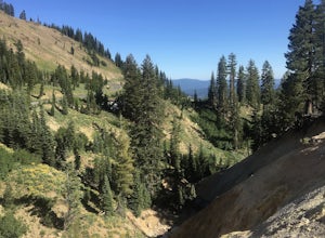
Brokeoff Mountain Trail
4.06.93 mi / 2474 ft gainPeaking above the volcanic valley at 9235 ft, Brokeoff Mountain is only second in height to Mt. Lassen in the national park they share. Brokeoff was once a part of a larger volcano called Mt. Tehama that erupted, eventually leading to its collapse. The event left a rugged volcanic rim, now con...Read more -
Calpine, California
Gold Lakes, Sierra Buttes, 45mi
If you never travel north of the Tahoe Basin into the Sierra Valley and beyond, you should. It is gorgeous, peaceful country, with wide open spaces and, compared to Tahoe, relatively uncrowded roads. This loops takes us from Bassett’s Station toward Sattley, north on 89, a brief stop to regroup i...Read more -
Shasta County, California
Visit Sulphur Works at Lassen Volcanic NP
4.02 mi / 200 ft gainLassen Volcanic National Park is a wonderland of lush pine forests, arid rocky terrain, boiling lakes, snow-capped peaks, and extremely diverse wildlife. I recommend at least a week to explore this underrated national park, but if you are only driving through, you can still enjoy some of the won...Read more -
Oroville, California
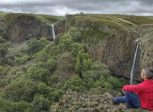
Hike to Hollow Falls
5.01 miThe first step of this fun little hike is to park at the handy parking lot located at 2488 Cherokee Rd., Oroville, CA up on Table Mountain. Many people park here for the hike to the more well-known Phantom Falls, which is a much longer hike than the one to Hollow Falls. From the lot, look for an ...Read more -
Oroville, California
Hike to Phantom Falls
4.64.2 mi / 850 ft gainDropping off a 135 ft cliff is a very well hidden waterfall with no trails leading to it. But if you do find it, it is an epic natural wonder.It is best to come here in the winter months, after a lot of rain. But it is also well worth coming in the spring when the wildflowers on Table Mountain ar...Read more -
Shasta County, California
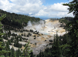
Bumpass Hell Trail
4.72.71 mi / 502 ft gainDue to hazardous snow and ice, Bumpass Hell Trail closes during the spring and may not open until July. From the Bumpass Hell Parking Area, the trail traverses the rocky slopes of Bumpass Mountain. The trail slowly ascends 200 feet with views of the valley to the west and Lassen Peak to the nort...Read more -
Shasta County, California
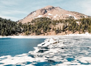
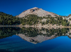
Lake Helen in Lassen Volcanic NP
5.0Lake Helen is a glacial lake in Lassen Volcanic NP. The park's winter season starts in October and runs through June. Lake Helen can be found thawing mid-June. The turquoise blue of the water comes from the minerals in it, and is mesmerizingly beautiful when thawing in pools over a snowy Lake ...Read more -
Shasta County, California
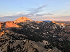
Lassen Peak
4.44.66 mi / 1936 ft gainOne of my personal favorites and a hidden gem of California that keeps circling my mind is the Lassen Peak Trail. Don't let the trail map (2.5 miles one way) deceive you and make you think this is a short trail. The elevation gain is is 2000 feet from the parking lot to the end of the peak. The a...Read more -
Shasta County, California
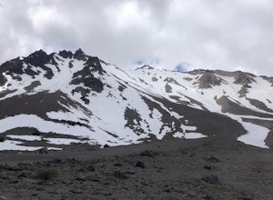
Summit Mt. Lassen via the Northeast Face
5.08 mi / 4000 ft gainThis route is perfect for those with some mountaineering skill looking to challenge themselves on either a long day climb (10-12 hours) of one of California’s most iconic peaks. 1: The approach (1500 feet of elevation gain) For the best chance of summiting, start very early, around 2-4 am. Most ...Read more -
Old Station, California
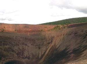
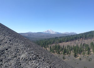
Hike to Cinder Cone
5.04 mi / 846 ft gainCinder Cone Trail For 1.2 miles, the trail gently slopes up through a forest. The Fantastic Lava Beds form a wall to your left. The Fantastic Lava Beds were formed by several eruptions of lava from Cinder Cone. The trail is mostly cinder erupted from Cinder Cone. Walking on cinder is similar to w...Read more -
Old Station, California
Hike to Snag Lake via the Cinder Cone
12.5 mi / 2000 ft gainStart from the Butte Lake trailhead, off Highway 44 at the north end of Lassen Volcanic National Park. From the parking lot walk past the little boat launch and the trailhead is obvious in front of you. Be mentally prepared to be walking in loose sand for most of this trip (and bring ankle or kn...Read more

