Tioga Pass, California
Looking for the best chillin in Tioga Pass? We've got you covered with the top trails, trips, hiking, backpacking, camping and more around Tioga Pass. The detailed guides, photos, and reviews are all submitted by the Outbound community.
Top Chillin Spots in and near Tioga Pass
-
Mammoth Lakes, California
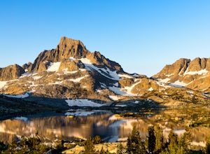
Backpack from Mammoth Mountain to Yosemite Valley via the John Muir Trail
5.052 mi / 6300 ft gainCross country hiking can be a daunting idea. There are so many things to plan for, and such a long distance to cover. If you are an experienced backpacker, and you want to get a taste of hiking on the John Muir Trail this hike might interest you. Planning GPS Map (Caltopo): https://caltopo.com...Read more -
Bridgeport, California
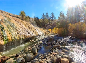
Buckeye Hot Springs
3.8From the parking lot, walk down the short but steep incline to the springs (200m). There is also a campsite within 0.25 miles.Read more -
Yosemite Village, California
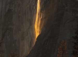
Witness Yosemite's Firefall
5.00.1 mi / 0 ft gainOver 5 million visitors flock to Yosemite National Park in California's Sierra Nevada Mountain Range every year to take in the geological splendor. While most visitors get to see the park's waterfalls, very few ever get to witness the Firefall. For two weeks between mid-late February, a small wat...Read more -
Yosemite Village, California
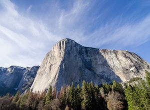
Watch the Sunset in El Capitan Meadow
After entering the park, keep driving the loop until you get onto Northside Drive, and then park once you are right below El Capitan (the 3,000ft granite monolith that is very hard to miss).Once you've parked, grab a blanket, snacks, and a beverage. With these items in hand, walk over to the eas...Read more -
Mariposa County, California
Backpack to Lower Ottoway Lake
32 mi / 2400 ft gainThe hike begins at Mono Meadows trailhead along Glacier Point Road, first descending 2.8 steep miles to Illilouette Creek. Above the Illilouette Junction, take in views of the Valley's granite domes before beginning the post-burn forested slog. The trail covers an additional 10 miles of relativel...Read more -
Mammoth Lakes, California
Snowshoe Shady Rest Park
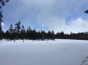
2 mi / 100 ft gainShady Rest Park is located on Sawmill Road just minutes from the Mammoth Lakes town center. Start off by crossing through the parking lot headed north towards the large open field covered in snow. The open field is a great place to walk around and become comfortable with wearing and walking in sn...Read more -
Mono County, California
Explore Bodie's Ghost Town
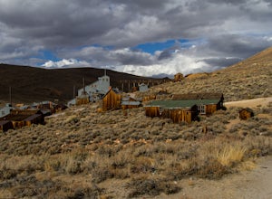
5.0Bodie exploded as a gold mining town in 1876, after the discovery of gold ore. It is estimated that Bodie produced over $34 million worth of gold over the years. The town was finally abandoned in 1942.While driving on 395, turn onto 270 and follow it 17 mi to the ghost town of Bodie. The last thr...Read more -
Mammoth Lakes, California
Photograph Lake Mary, Mammoth Lakes
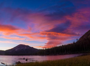
4.0Lake Mary is the largest of the 11 lakes in the Mammoth Mountain area. Explore the lake’s perimeter and find your own perfectly peaceful place to watch one of Mammoth’s signature stunning sunsets. Parking is easy to come by either on the side of the road or at the marina parking lot up the road.B...Read more -
Mariposa County, California
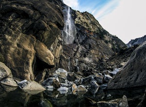
Hike to Bridalveil Fall
3.81.2 mi / 200 ft gainSince most things you want to see in Yosemite require a hike, this place is a nice change to see something without having to walk for hours. From the parking lot it is just about a 10 minute walk to the falls.If you scramble up the rocks, you can get a nice view of the falls and the pond. It used...Read more -
Mariposa County, California
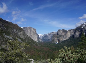
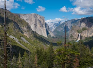
Hike to Inspiration Point in Yosemite NP
2.4 mi / 900 ft gainInspiration Point is a granite slab located on the mountainside above Tunnel View. Hiking to this scenic point will provide you with the same views you would get from Tunnel View with less people around. Hiking this trail can also take you to different parts of Yosemite if you're so inclined (Bri...Read more -
Mariposa County, California
Backpack Yosemite's South Rim
5.018 mi / 2800 ft gainStep 1: Get Wilderness Permit from the Wilderness Office the day before! Permits are free and required. This trail is a Point-to-Point trail so make sure you have a shuttle situation figured out (or you can always hitch hike). The best option is to get dropped off at Tunnel View so that you don'...Read more -
Mariposa County, California
Hike to Turtleback Dome
1.4 mi / 350 ft gainTurtleback Dome will provide you with views of southern Yosemite and the Valley in a less crowded area. This hike on a service road is relatively easy with a slight elevation gain over the entire 0.7 miles. To get to the Trailhead, take Wawona Road north towards the valley. Use the referenced poi...Read more -
Mammoth Lakes, California
Relax at Laurel Lakes
0 mi / 0 ft gainThe Laurel Lakes trip, just south of Mammoth Lakes, is a worthwhile day trip that can easily be made into a hiking/camping trip.To get there, make your way to Laurel Lakes Rd via Sherwin Creek Rd either from Old Mammoth Rd or from the 395. The road to the lakes is not too bad initially but you'll...Read more -
Benton, California
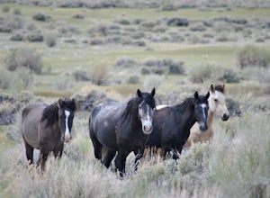
Photograph Wild Mustangs in Mono County
Since these are wild horses, tracking them can be difficult. However, they tend to play and graze in a certain field in Mono County, right outside of Mammoth Lakes and Yosemite! From CA-395 turn onto CA-120 towards Mono Lake. Take this road for 21 miles until you reach Dobie Meadows Road, a one l...Read more -
Mammoth Lakes, California
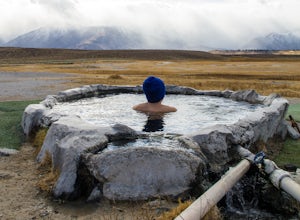
Soak in Mammoth's Hilltop Hot Springs
4.3Mammoth’s volcanic valley floor is peppered with these natural steamy tubs with panoramic views of the Eastern Sierra. It’s pretty damn whimsical. My personal favorite is the Hilltop Hot Tub, which is a man-made stone pool fed by a bubbling, steamy creek. According to some corner of the web, it i...Read more -
Mono County, California
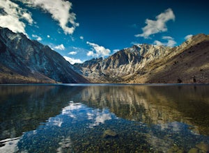
Fishing at Convict Lake
4.3Many people come to Convict lake for the fishing. Convict is located only 2 miles off the main highway in the Eastern Sierras. The lake is clear and pristine with beautiful views. There are various ways to fish here; some rent out boats or bring their own and cruise around the lake fishing. O...Read more

